
Data fusion
Fuse data collected from multiple sources into one virtual environment and augment it with high-resolution imagery and terrain accurately positioned on a WGS84 globe.

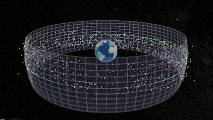
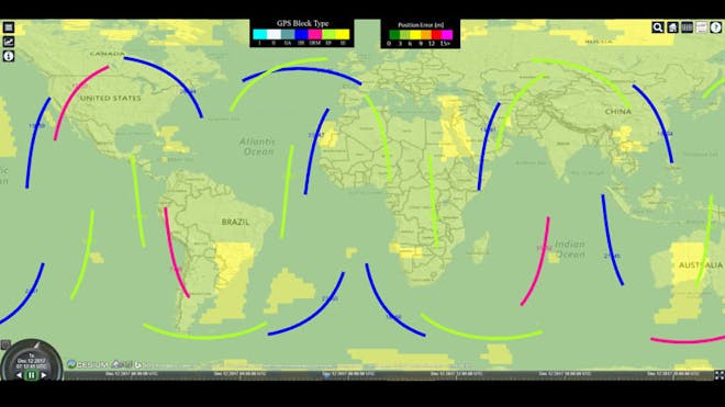
Cesium was originally built to track objects in space, where precision is paramount. Detail and accuracy remain a foundation of the Cesium platform. Use our flexible, open architecture to seamlessly render massive datasets, track and simulate objects in air and space, analyze communications and monitoring data, and understand and predict change over time.
Sedaro Satellite uses CesiumJS to visualize the outputs from its cloud-scalable digital twin simulations, presenting an accurate, time-dynamic virtual globe and customer spacecraft data in interactive web apps.
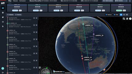
Umbra manages mission planning and validates vehicle behavior for its fleet of SAR satellites with CesiumJS.
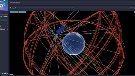
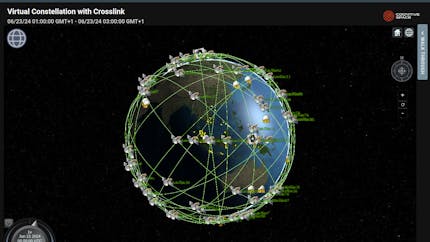
AGI's Commercial Space Operations Center (ComSpOC) uses Cesium to visualize tens of thousands of satellites — simultaneously and in real-time — to achieve its mission of sustained safety in space.
OrbPro uses CesiumJS and Photorealistic 3D Tiles to enable space operators to visualize objects in orbit around Earth and validate locations to be imaged on Earth.
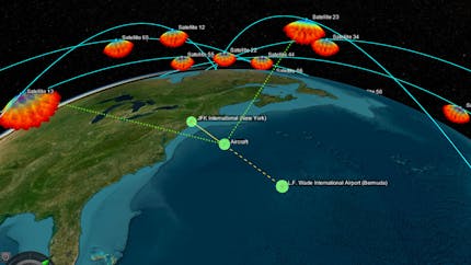
Cognitive Space pairs CesiumJS with its AI to support satellite mission management, collection planning, and communications link coordination.
MathWorks offers the Satellite Scenario Viewer, built with CesiumJS, to visualize simulations from the Aerospace Toolbox, Aerospace Blockset, and the Satellite Communications Toolbox.
Fuse data collected from multiple sources into one virtual environment and augment it with high-resolution imagery and terrain accurately positioned on a WGS84 globe.
Use GPU-accelerated analysis tools for measurement, line of sight, and viewsheds, on the web with CesiumJS or in a game engine with Cesium for Unreal
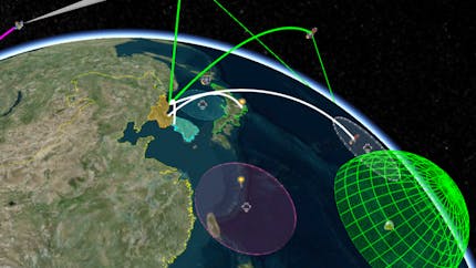
Create precise simulations on the web or in a game engine by fusing geospatial datasets with vehicle tracks and time dynamic analytics to visualize complex systems for intuitive understanding.
Integrate with tools from our partner AGI, including Systems Tool Kit (STK), for time-dynamic 3D geographic visualizations and precise analytics.