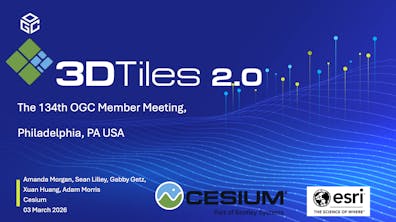
134th OGC Member Meeting: 3D Tiles 2.0 Preview
Philadelphia, Pennsylvania, USA,
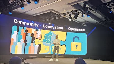
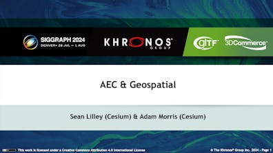
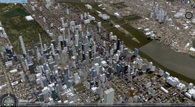
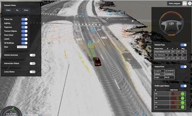
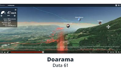
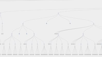
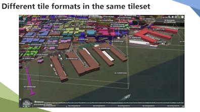
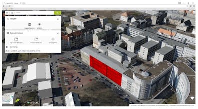
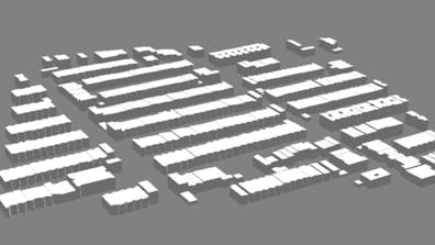
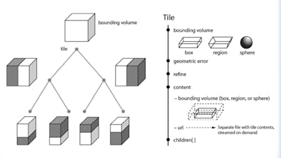
3D Tiles 2.0 preview at the 134th OGC Member Meeting in Philadelphia, addressing glTF 2.1, voxels, time-dynamic 3D Tiles, vector tiles, glTF AEC extensions, and 3D Gaussian splatting in 3D Tiles, highlighting community collaboration and use cases.