Bridging the digital and physical worlds
Cesium makes it possible to bring real-world data into 3D experiences by providing software to represent digital twins, and to store and stream massive amounts of data with 3D Tiles.
At Cesium, we're providing 3D geospatial software components and facilitating the creation of open standards and knowledge needed to drive the internet's progression from 2D to fully-immersive 3D - a concept known as the metaverse.
Cesium makes it possible to bring real-world data into 3D experiences by providing software to represent digital twins, and to store and stream massive amounts of data with 3D Tiles.

The metaverse will be bigger than any one company or organization's vision. We're dedicated to bringing the community together to facilitate openness.
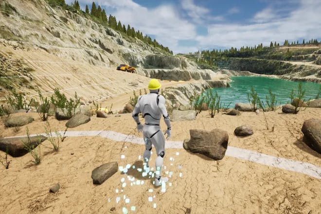
A multitude of complex challenges remain before we achieve a useful metaverse. Led by Dr. Norm Badler, our dedicated research team works to advance metaverse technology for the community as a whole, leading with the problem of scaling the number of agents in one concurrent instance.
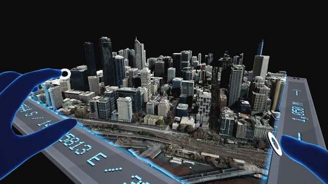
Together with EARTHBRAIN and Komatsu, one of the world's largest manufacturers of construction and mining equipment, we’re building the metaverse for Smart Construction, including digital twins of the construction site.
Using Cesium’s 3D tiling pipelines and visualization engine, Smart Construction makes it possible to monitor a construction site from anywhere in the world, observe changes over time, compare architectural plans with real-world data, and run precise and near real-time measurements.
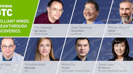
Cesium CEO Patrick Cozzi joined a panel of global Metaverse futurists including Dean Takahashi of VentureBeat, Tim Sweeney of Epic Games, Morgan McGuire of Roblox, Rev Lebaredian of NVIDIA, and others to share their unique visions of the future metaverse.

The real world and the internet will merge thanks to the ‘metaverse’ – and geospatial information and technology will be key to that combination, writes Simon Chester for GeoConnexion Magazine.
Patrick Cozzi (Cesium) and Marc Petit (Epic Games) invite a broad range of technical experts to share their insights on how the community is building the metaverse together.