Cesium Digital Twin page - 3D map imagery

Digital Twins for Federal and Defense

Cesium for Omniverse was used to simulate Cape Canaveral launch operations in a concept created by Cesium, Epic Games, NVIDIA, and the US Space Force for the Spaceport Integrated Operations Center.

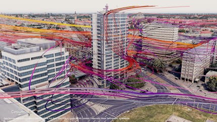
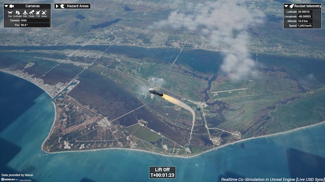
Simulation of Cape Canaveral launch operations created by Cesium, Epic Games, NVIDIA, and the US Space Force.

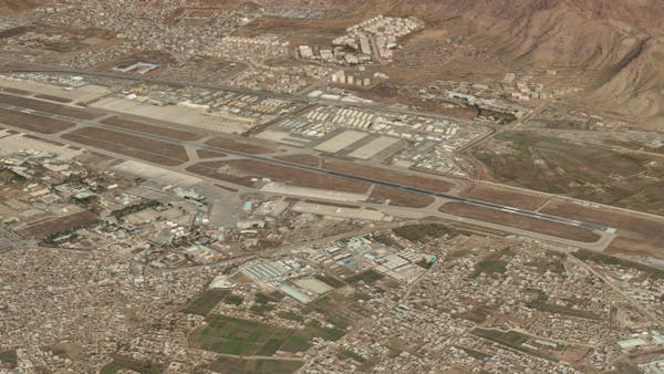
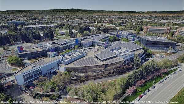
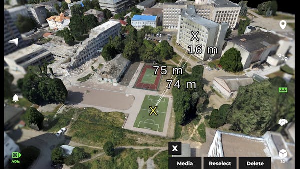
From Seabed to Space

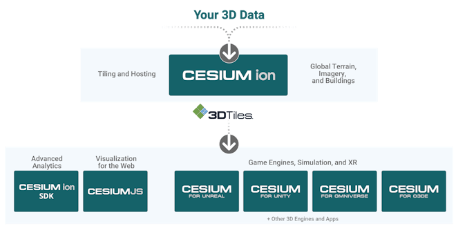
For those that need to deliver GEOINT that is accurate, timely, relevant, and discoverable from all domains from seabed to space, the Cesium platforms offers high-quality 3D visualization and runtime performance, advanced analytics, and data interoperability in the cloud or self-hosted.

Near Real-Time 3D Geospatial Visualization

Cesium enables performant streaming and visualization of massive geospatial datasets in a dynamic 3D environment.

Interoperability and Open Standards

Built on open standards 3D Tiles and glTF, Cesium facilitates interoperability and data exchange across platforms.

Advanced Analysis and Simulation

Extract insights and perform complex geospatial analysis such as terrain analysis, line-of-sight calculations, visibility analysis, and other advanced spatial computations.

Cross-Platform, Cloud, and Self-Hosted Deployment

Cesium runs in the cloud, and on any device, enabling users to collaborate, share, and visualize data anytime and anywhere, or run it securely in your environment.

Developer-Friendly Environment

Cesium offers a comprehensive set of tools, APIs, and SDKs that empower developers to extend the platform to meet requirements, encouraging innovation, rapid prototyping, and the creation of custom geospatial solutions.

Trusted By the Department of Defense, Intelligence Community, and Companies Worldwide

  • United States National Geospatial-Intelligence Agency (NGA) logo
  • United States Special Operations Command logo
  • United States Army Intelligence and Security command INSCOM logo
  • Army Futures Command Synthetic Training Environment, STE logo
  • FAA, Federal Aviation Administration logo
  • NORAD logo
  • NASA logo
  • ATAK logo
  • Boeing logo
  • CAE logo
  • Eolian logo
  • Lockheed Martin logo
  • Microsoft logo
  • Raytheon logo
  • Tactical Assault Kit (Tak) logo
  • USGS logo

The Cesium platform leverages 3D Tiles, an OGC open standard we created for streaming massive heterogeneous 3D datasets at runtime.

3D Tiles has been adopted for the Army's One World Terrain Well-Formed Format, the Google Maps Platform API for Photorealistic 3D Tiles, and is leveraged by companies like Reveal, whose Farsight app enables them to access relevant and actionable intelligence in disconnected environments.

Learn more
Cesium Product Ecosystem Diagram

In the Cloud, or Self-Hosted

Cesium ion is a robust, scalable, and secure platform for 3D geospatial data. Upload your content and Cesium ion will optimize it as 3D Tiles, host it in the cloud, and stream it to any device.

Use Cesium Self-Hosted to develop and deploy 3D geospatial solutions for mission-critical operations — fast. Benefit from our leadership in open standards and from open source's rapid innovation cycles, deployed in your secure environment for apps in browsers, game engines, or your custom software.

Learn more

Smart Construction Digital Twin, built in partnership with Komatsu and EARTHBRAIN

Smart Construction makes it possible to monitor a construction site from anywhere in the world, watch how it changes over time, compare architectural plans with real-world data, and run precise and near real-time analytics.

Cesium and Komatsu/EARTHBRAIN Smart ConstructionCesium and Komatsu/EARTHBRAIN Smart ConstructionCesium and Komatsu/EARTHBRAIN Smart Construction

Cesium is the platform for 3D geospatial