
The open specification for 3D data
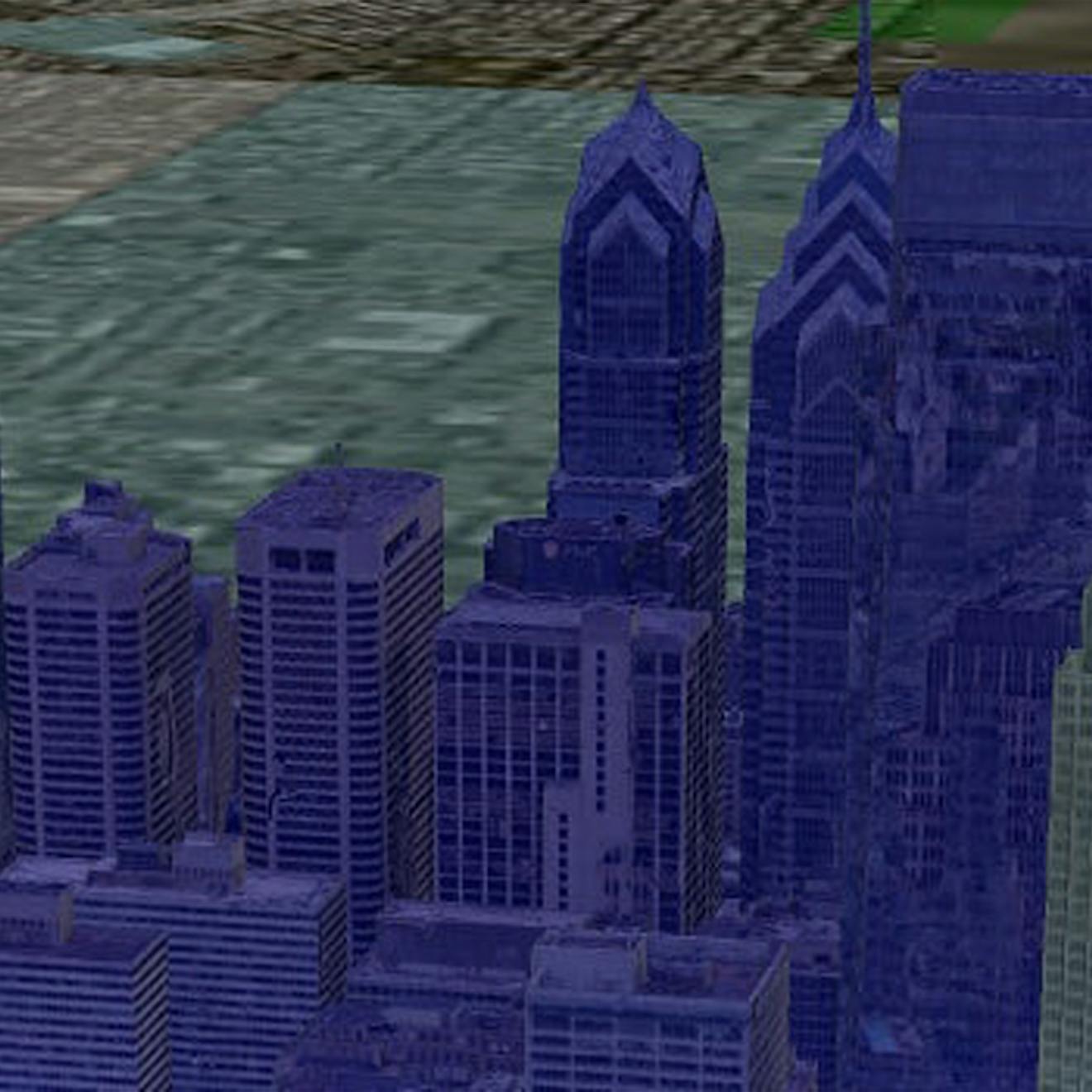
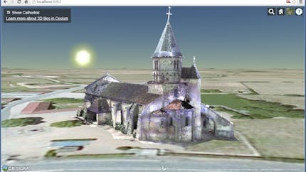
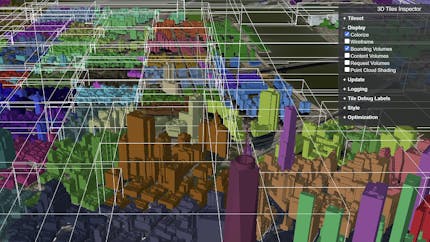
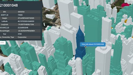
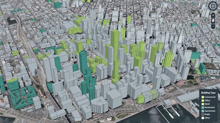
3D Tiles is the open standard for massive, heterogeneous 3D geospatial datasets such as point clouds, buildings, and photogrammetry. Built on glTF and other 3D data types, 3D Tiles is a streamable, optimized format designed to tap the potential of today’s ever-growing collection of 3D geospatial data.
Features:
- Interactive, styleable, adaptable, and flexible.
- Designed for precision to support the most demanding analytics.
- Time-dynamic for visualizations or simulations that allow users to see change over time.
- Heterogeneous, supporting a variety of data types meant for different purposes; there is no one-size-fits-all for 3D datasets.
- 3D Tiles is an Open Geospatial Consortium (OGC) community standard.
Building the 3D geospatial ecosystem through openness
Cesium first introduced 3D Tiles in 2015 and shepherded its acceptance as an OGC community standard in 2019.
3D Tiles has been widely adopted by leading software, service, and data providers across industry and government, and by developers building end-user applications.
The success and impact of 3D Tiles as an open standard reinforces our belief that openness and interoperability are the essential elements that propel not only Cesium, but the entire 3D geospatial ecosystem, forward.
Resources
Introducing 3D Tiles
Original 2015 blog post by Patrick Cozzi announcing 3D Tiles.
Essentials
A basic introduction to the features of 3D Tiles data.
3D Tiles Reference Card
An approachable guide to help developers jumpstart the adoption of 3D Tiles.
Specification
The specification for 3D Tiles, an open standard for streaming massive heterogeneous 3D geospatial datasets.
Code examples
Stream, style, and interact with 3D buildings, photogrammetry, and point clouds using the 3D Tiles open specification.
3D Tiles Next
Cesium's 3D Tiles Next project includes enhancements to the specification, developed with 3D Tiles' extension method. (3D Tiles Next is now 3D Tiles 1.1.)