Accurate real-world data
Cesium preserves the accuracy of the source data so you can confidently use it for planning, analysis, modeling, and simulation.
Add real-world context to your applications using curated 3D data with global coverage. Cesium Global 3D Content and partner data is ready to use with any compatible client, including CesiumJS and Cesium for Unreal, Cesium for Unity, and Cesium for Omniverse.
Cesium preserves the accuracy of the source data so you can confidently use it for planning, analysis, modeling, and simulation.
Add global context to your high resolution captures to create comprehensive digital twins.
Available in open standards like 3D Tiles and WMTS so you can use it in our viewers, any other compatible viewer, or in your own custom applications.
Cesium global 3D terrain, imagery, and buildings are included with your Cesium ion account.
Cesium global 3D content can also be licensed for your own environment with Cesium ion Self-Hosted.
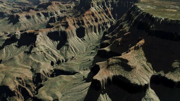
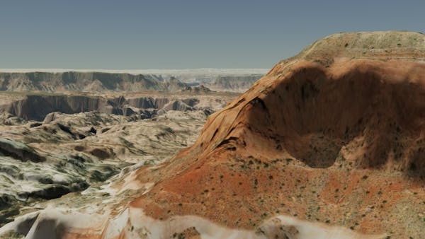
Grand Canyon National Park, Arizona
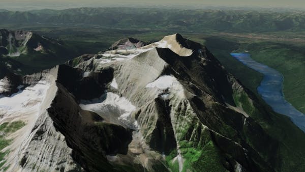
Glacier National Park, Montana
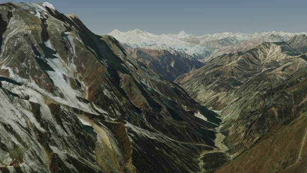
Himalaya Mountain Range, Nepal
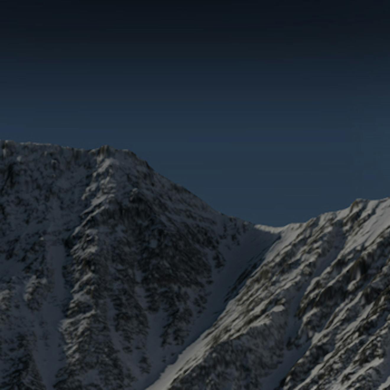
Snowdonia National Park, Wales
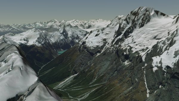
Mount Aspiring National Park, New Zealand
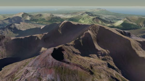
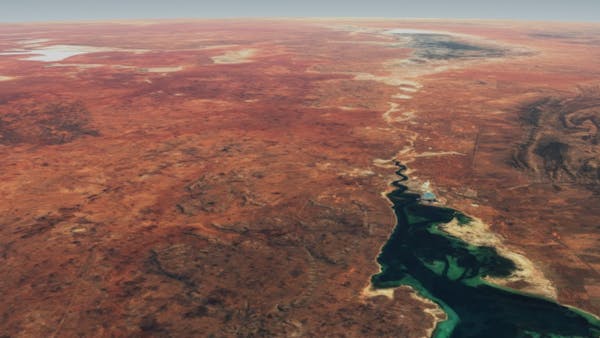
Glen Canyon National Recreation Area, Utah
High resolution global 3D terrain with up to 1 meter accuracy, curated from open and commercial sources.
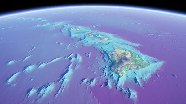
Cesium World Bathymetry data for Hawaii and the surrounding ocean, visualized with Unreal Engine and a purple color gradient applied
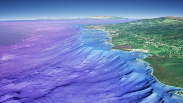
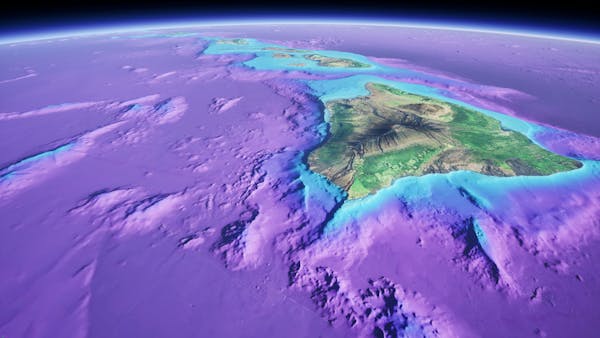
A global bathymetry and topographic terrain tileset built upon GEBCO's global dataset and incorporating higher resolution data up to 1m resolution.
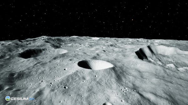
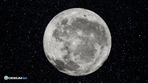
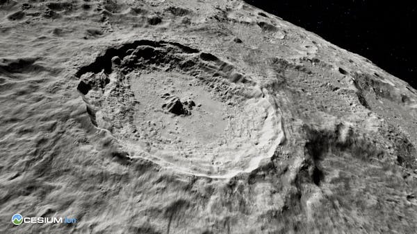
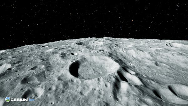
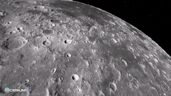
The first complete, accurate, and readily-accessible 3D dataset of the moon, built from imagery and terrain data from NASA’s Lunar Reconnaissance Orbiter (LRO) program.
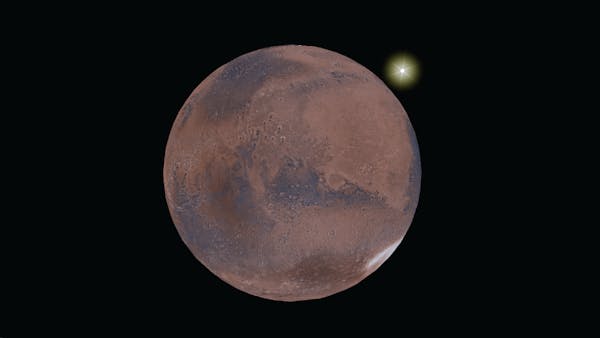
Cesium Mars
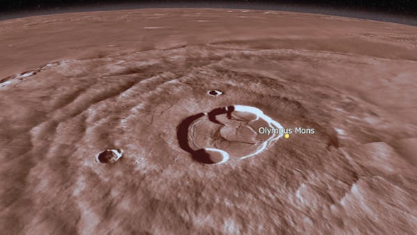
Olympus Mons visualized with Cesium Mars
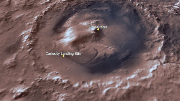
The Gale Crater visualized with Cesium Mars
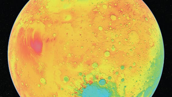
Cesium Mars draped with the Mars MOLA elevation map from NASA's Scientific Visualization Studio
A complete, readily accessible 3D dataset of Mars that combines terrain captured by NASA and ESA with the Mars Viking Colorized Global Mosaic imagery.
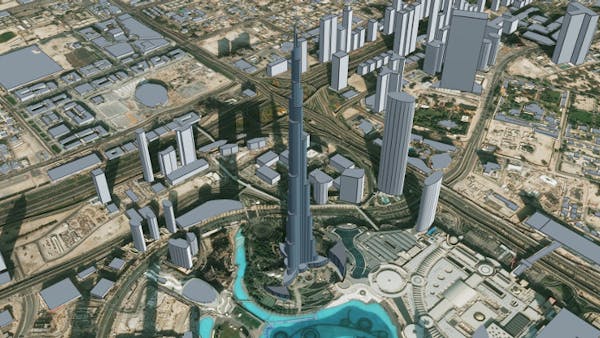
Burj Khalifa, Dubai
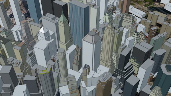
New York City
San Francisco
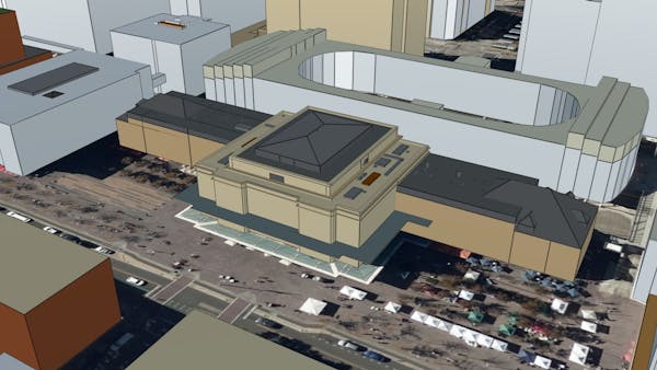
Union Station, Denver Colorado

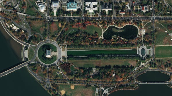
Washington, DC
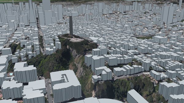
Add real-world context to applications in urban environments with this global 3D buildings layer.

Kyoto in Cesium for Unreal
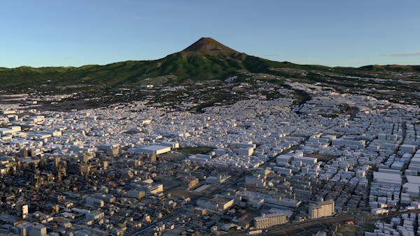
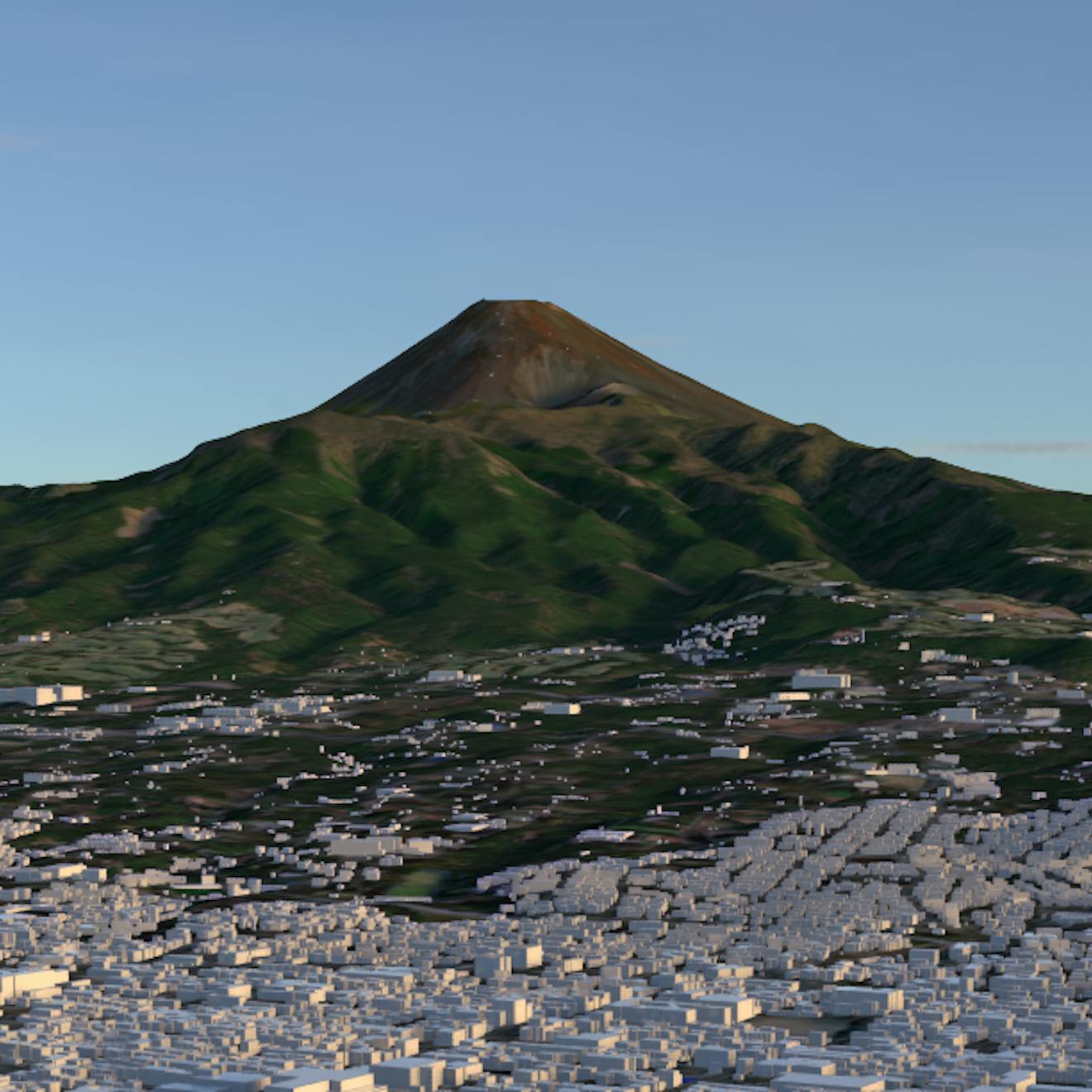
Fuji City in Cesium for Omniverse

Sapporo City in Cesium for Unreal
Japan 3D Buildings is countrywide, open source data from Japan’s MLIT PLATEAU Platform that combines over 200 individual ward, city, and village CityGML datasets into one comprehensive tileset.
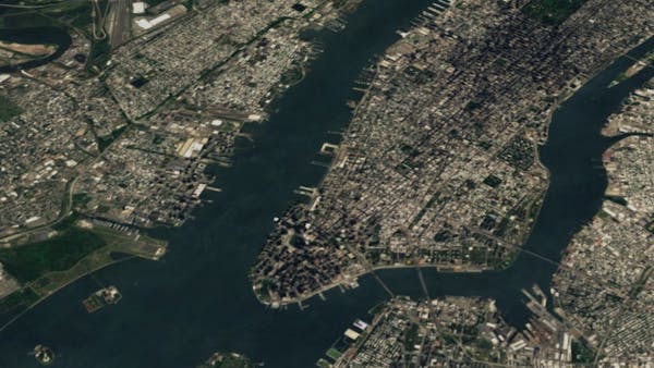
New York City
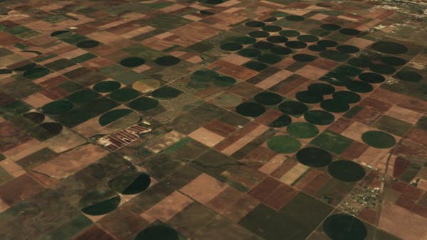
Midwest American farmlands
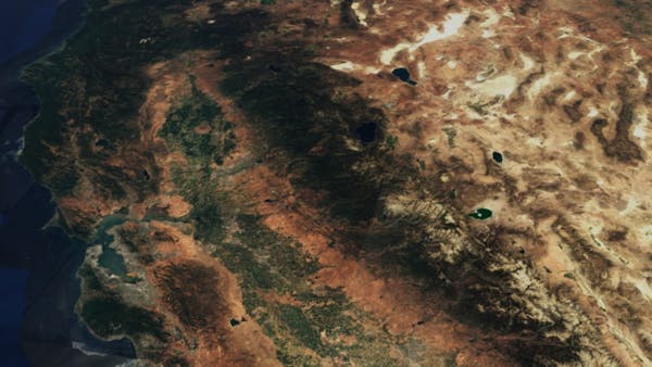
West Coast, United States
Port Augusta in Southern Australia
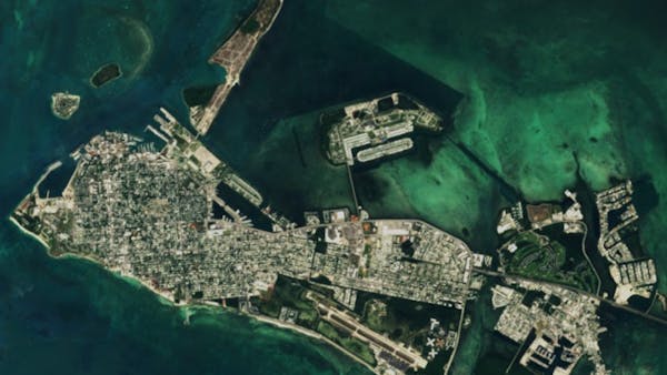
Key West, Florida
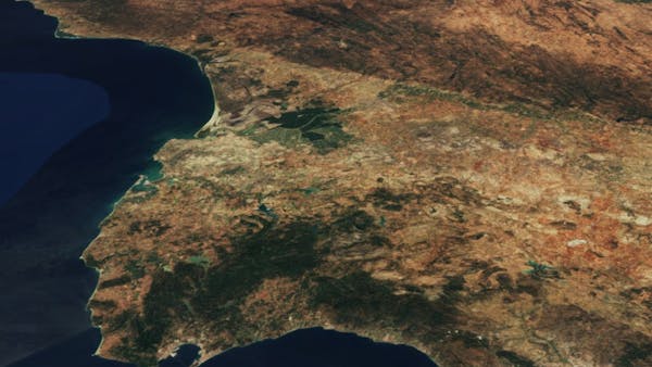
The Strait of Gibraltar in Southern Spain
Washington, DC
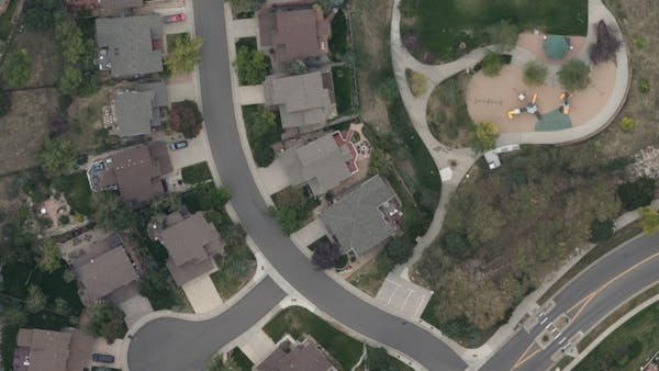
Suburb of Denver, Colorado
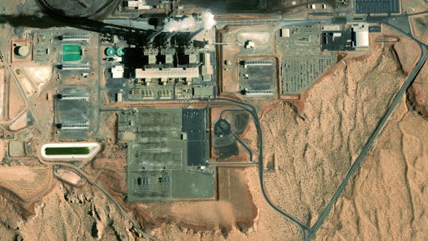
Power station in Arizona
Global Bing labels
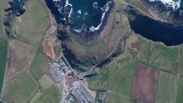
Northern Ireland
High resolution global satellite imagery from Bing Maps, up to 15 cm resolution. Cesium ion also includes Bing Maps Aerial with Labels, for satellite imagery with city and road labels, or Bing Maps Road for just roads and landmarks.
If your enterprise deployment requires Cesium content in your own environment, let's talk.