The Vancouver skyline with mountains in the background and untextured buildings colored based on distance from a building on the right

Smart Cities

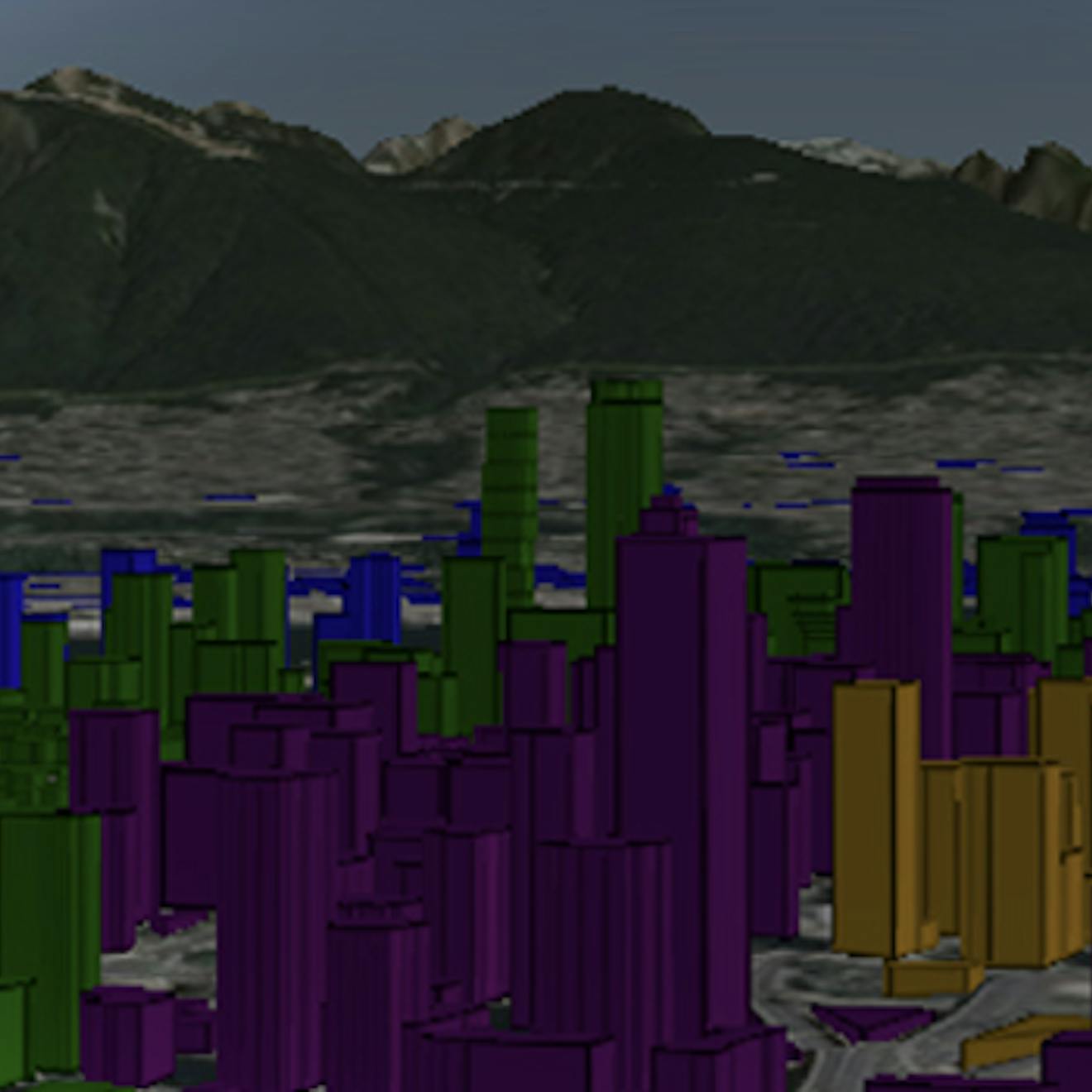
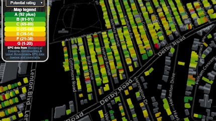
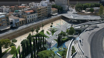
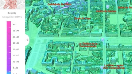
Digital twins combine 3D content and sensor data to create smart cities

Today's cities are required to be more sustainable, transparent, and efficient than ever before. When placed in real-world geospatial context, real-time sensor data and 3D imagery can help achieve these goals through the creation of a digital twin — a Smart City accessible to city planners, workers, and residents. The Cesium platform is the foundation for Smart City capabilities as diverse as greenspace planning, predicting energy usage, and effective emergency response.

Success stories

Build better with the Cesium platform

An aerial view of Denver at sunset in Unreal Engine

Cesium ion makes it easy to combine your synthetic data, sensor feeds, and other 3D content to create an up-to-date digital twin. Include Cesium content and Cesium's real-world accuracy to place your city in context.

Denver photogrammetry in UE, courtesy of Aerometrix.

A ground-level view of Union Station in Denver, seen in Unreal Engine. A UE male mannequin is standing on the sidewalk.

Create your city's Metaverse.

Use CesiumJS or Cesium for Unreal to deliver engaging simulations of the real world on the web or in Unreal Engine.

Denver photogrammetry in UE, courtesy of Aerometrix.

New York City by Geopipe

Use Cesium's visualization and measurements, integrated with your preferred partners for classification and other analytics, to enable monitoring that makes sense of the massive influx of real-time data and to predict and solve problems.

The Cesium platform is the foundation for transformative 3D geospatial solutions