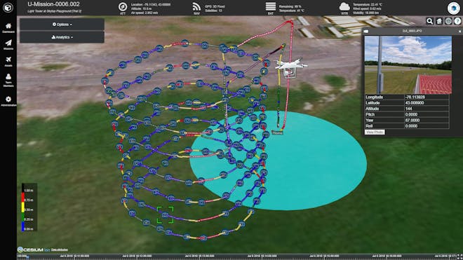
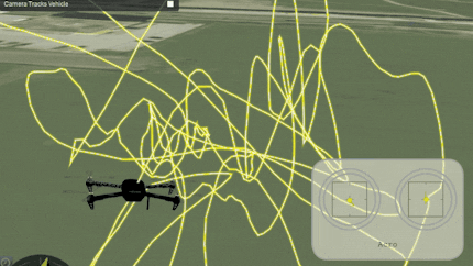
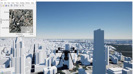
Combine 3D models, global base layers, and flight logs to create accurate 4D flight path visualizations or simulations.
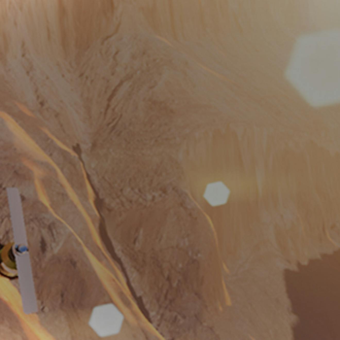
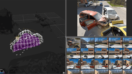
Drones make it faster, easier, and more affordable for industry and government to understand the world in near real-time. Bring your drone photogrammetry or point clouds into the Cesium platform to rapidly produce 3D data streamable to digital twins and apps. Combine your 3D data with GPS logs for flight visualization and analysis, or create simulations for better fleet management.
Flight Review allows operators who use the open source PX4 autopilot for drones and other unmanned vehicles to upload and visualize their flight logs.
Skydio uses Cesium to power their Skydio 3D Scan software, enabling flight planning and rapid assessments.
MathWorks users can design, simulate, test, and deploy controls and autonomy algorithms for UAV applications with UAV Toolbox and Cesium.
Combine 3D models, global base layers, and flight logs to create accurate 4D flight path visualizations or simulations.
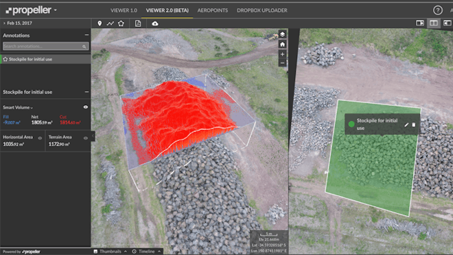
Use GPU-accelerated tools for high-precision measurements, line of sight, viewsheds, and slope analysis—all right from your mobile or favorite device.
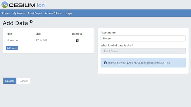
Point clouds and photogrammetry uploaded to Cesium ion are automatically tiled into streamable 3D Tiles for smooth, fast rendering in your apps. Integrate with Cesium ion's API to make new data available to downstream apps as it becomes available.