


Developer Platform
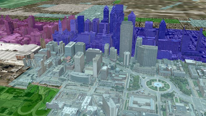
Everything your software application needs to utilize 3D geospatial data: visualization, data pipelines, curated data, and analytics.
Cesium is the open platform for software applications designed to unleash the power of 3D data.
Trusted by thousands
Everything your software application needs to utilize 3D geospatial data: visualization, data pipelines, curated data, and analytics.
We proudly collaborate with government agencies and the United States Department of Defense.
We work with select partners to bring about industry-wide innovations.
Cesium empowers developers across industries to maximize the potential of their 3D data.
Best in class implementation of 3D Tiles for streaming massive amounts of data.
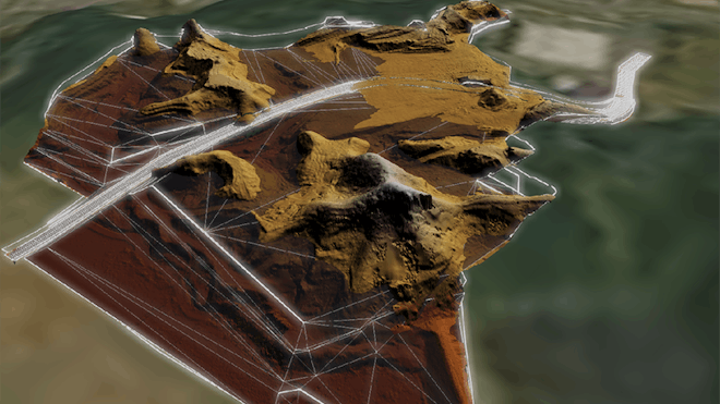
Visualize and analyze your data on the world's most precise rendering engine.

Open and interoperable to support data compatibility and community collaboration.