Cesium Version 1.47 Released
We are happy to announce the release of Cesium 1.47. Highlights include:
- Added support for polylines on terrain.
- Added the ability to place or extrude corridors, ellipses, polygons, and rectangles relative to terrain
- Improved visual quality for billboards on terrain
- Added per-feature silhouette and black/white styling
For the full list of changes, see the change log.
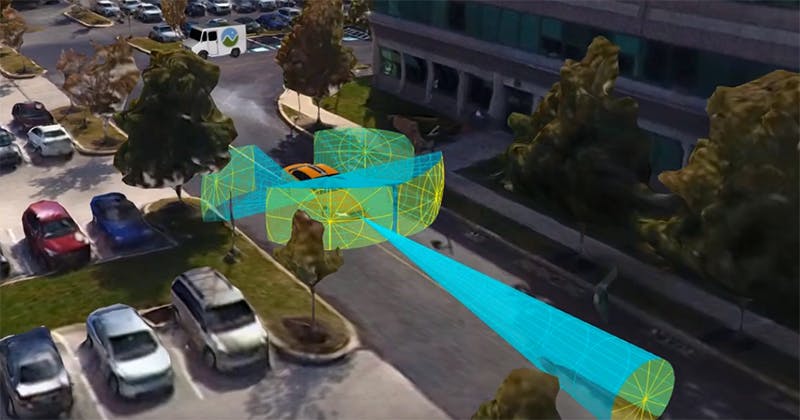
Height Referenced Extrusions and Polylines on Terrain.
News
- Mozilla has selected Cesium ion to provide 3D geospatial content to A-Frame with A-Terrain, bringing geospatial to VR.
- Bing Maps featured Cesium on their blog.
- We are now a sponsor of OpenStreetMap.
- Rafael has joined the Cesium Consortium to hep guide and sustain the open source development of CesiumJS.
- This month we were happy to welcome Omar Shehata, Josh Lawrence, Luke San Antonio-Bialecki, and Jane Xu to the Cesium team.
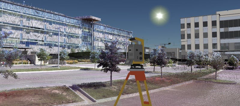
- Check out Patrick Cozzi’s post on Millimeter Precision Point Clouds, which shows data captured with Trimble’s laser scanners and visualized in Cesium.
Development
- Gary Li’s blog post about implementing materials on terrain explains how we worked around the challenges of inverse trigonometry.
- Yonatan Kra has shared an optimization for reducing jitter in use cases with many billboards and labels in a guest post on our blog.
- We have a tutorial on advanced particle system effects, covering effects such as rain and rocket trails.
Events
- SIGGRAPH is August 12—16. We’re partnering with Toyota Research Institute to organize an Autonomous Driving BOF.
- Mussab Mohamed Abuelhassan Abdalla and Nikolas Prechtel, who developed the Uch Enmek project, are speaking about the use of open web standards in a 3D visualization of archaeological data at FOSS4G Europe July 19 in Guimarães, Portugal.
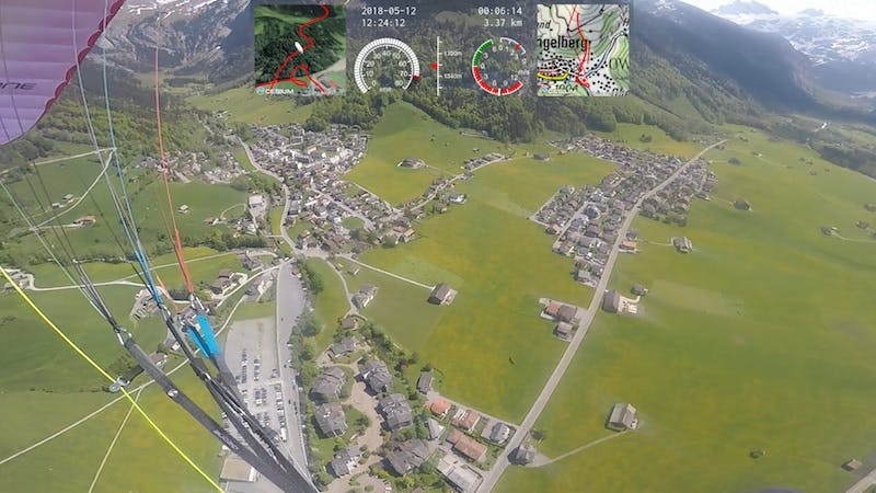
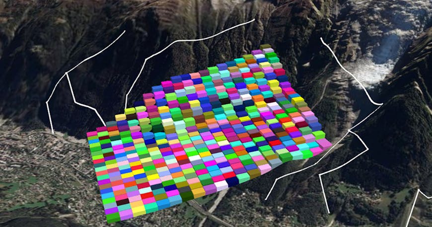
Showcases
We have three new showcases up on our demos page.