Visualize Weather, Environment, and Aeronautical Data with MetSafe SWIM 3D
MetSafe creates tailored meteorological webservices for the aeronautical community. In addition to global weather products, such as convection, icing, lightning, wind, and clear air turbulence, they integrate environmental data such as fine particles provided by the European program Copernicus. All these data help trigger alert services.
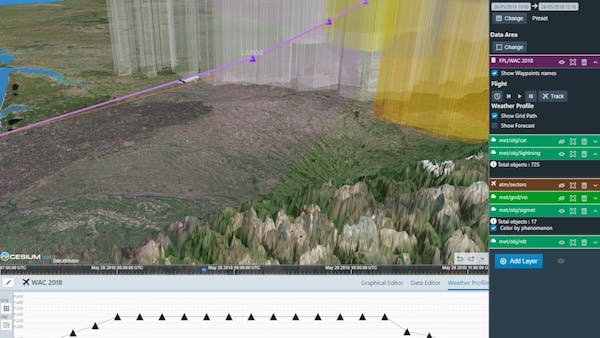
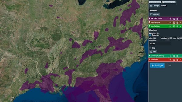
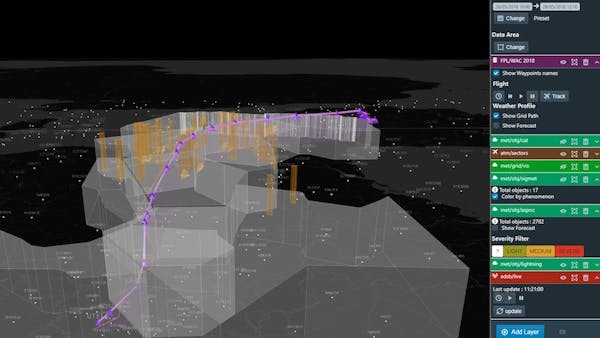
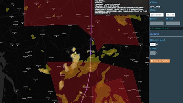
MetSafe follows the System Wide Information Management (SWIM) specifications, the new intranet for the aviation community, which relies heavily on Open Geospatial Consortium (OGC) standards. Because most of their data is in 3D or even 4D, they use CesiumJS to explore them with depth in time and altitude.
Technically, we mostly use Entities system to style and move features. CesiumJS integrates widgets and tools out of the box so that we obtain visual results for our customers in no time. What’s even better yet is that all the parts are open and customizable. We use clock, terrain, and events API to fit our needs.
For more updates and views of their CesiumJS uses, follow their technical Twitter account @MetSafe_Tech.