Cesium Version 1.51 Released
We are happy to announce the release of Cesium 1.51. Highlights include:
- Added WMS-T (time) support in WebMapServiceImageryProvider.
- Added cutoutRectangle to ImageryLayer, which allows cutting out rectangular areas in imagery layers to reveal underlying imagery.
- Ground atmosphere, sky atmosphere, and fog colors now match.
- Shrunk minified and gzipped Cesium.js by 27 KB (~3.7%) by delay loading seldom-used third-party dependencies.
For the full list of changes, see the change log.
News
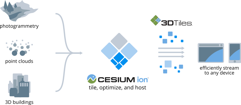
- Cesium ion’s tiling pipeline is now available. You can upload LAS/LAZ, CityGML, KML/Collada, OBJ, or DAE data to Cesium ion for tiling to 3D Tiles.
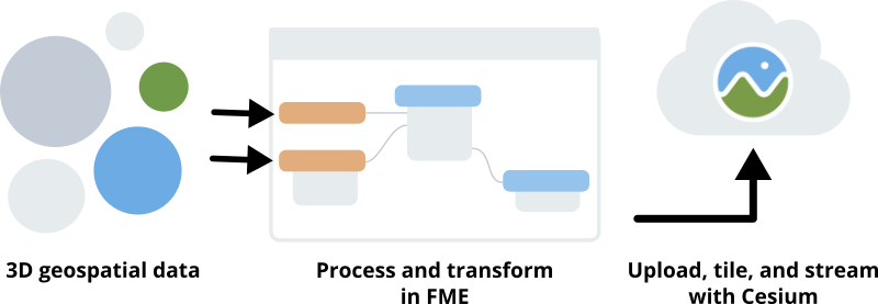
- Cesium is now connected to Safe Software’s FME data integration platform, making it easy to process and transform 3D geospatial data with FME, connect to Cesium ion to seamlessly upload, tile, and host, and stream to CesiumJS.
- We’re collaborating with VectorZero to bring RoadRunner’s complex road networks into Cesium for precise autonomous driving simulations.
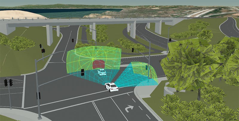
A RoadRunner model imported into Cesium. GIS data credit: U.S. Geological Survey; 3D artist: Tom Vu, VectorZero
- DroneDeploy, the leading cloud-based platform for commercial drones, uses Cesium to efficiently visualize massive point clouds.
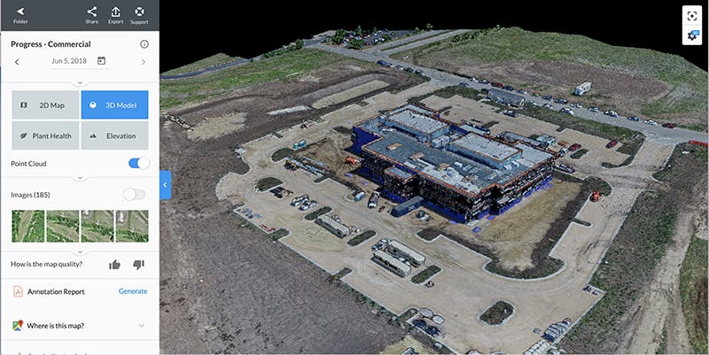
DroneDeploy point clouds.
Development
- With the 1.50 release we improved lighting of the globe by adding ground atmosphere; CesiumJS now simulates the atmospheric scattering of sunlight across the surface of the Earth, as Omar explained.
- We also added support in the 1.50 release for the new specular glossiness glTF extension. This extension gives you greater control over how a 3D model responds to various realistic lighting conditions.
Events
- Gabby spoke at a SAFE FME webinar on visualizing data in a web browser with Cesium ion.
Showcases
We have a new showcases up on our demos page.