Cesium at I/ITSEC 2026: Interoperability from Training to Operations
November 30-December 3, the Cesium team will be at the Interservice/Industry Training, Simulation, and Education Conference (I/ITSEC) in Orlando, Florida. I/ITSEC is the world’s largest gathering of professionals in modeling, simulation, and training—we always love being part of this show.
This year, our friends on the Epic Games Unreal Engine simulation team will join us.
Visit us in BOOTH 271 for Cesium demos supporting interoperability from training to operations.
Here’s a preview of what is going on in the booth:
Unreal Engine simulation team
Explore the latest capabilities in Cesium for Unreal, enabling Gaussian splatting, vector tiles, and stylization with real-world 3D data via Cesium ion. Epic's simulation team will also showcase a Mesh Terrain demo, Procedural Content Generation use cases, and Unreal MCP and AI-assisted application development.
3D Tiles 2.0
The next major evolution of the standard has been submitted to the Open Geospatial Consortium (OGC), and the ratification vote is underway. 3D Tiles 2.0 includes six major capability areas:
- deeper integration with glTF,
- time-dynamic content,
- volumetric data through voxels,
- vector data,
- AEC-focused workflow extensions, and
- 3D Gaussian splats.
US Army One World Terrain Well Formed Format built on 3D Tiles
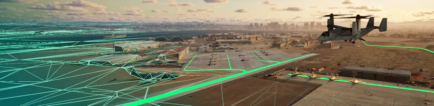
The One World Terrain Well Formed Format is an extension of 3D Tiles, enabling streaming of massive 3D datasets. We will feature sample data from One World Terrain, for which Cesium is proud to support the US Army and Vantor (formerly Maxar Intelligence). Use the same data across training, planning, execution, and analysis.
Reality modeling and analysis
Built on iTwin Capture technology, Cesium ion’s reality modeling and analysis capabilities enable reconstruction of 3D reality models from photos, such as high-res drone imagery. Improve situational awareness with a unified view by combining your reality data with Cesium global 3D content. Run AI-powered reality analysis on point clouds for segmentation and embedded metadata. Reality modeling and analysis capabilities are available in Cesium ion SaaS and Cesium ion Self-Hosted.
We will demonstrate the full iTwin Capture software suite, in addition to its integration with Cesium ion. The suite includes the new (and free) iTwin Capture Modeler Flex UI desktop application, which enables teams to import, align, and prep massive datasets of photos, videos, and LiDAR data. From there, users can scale their projects—processing locally via iTwin Capture Engine or leveraging on-demand cloud power through iTwin Capture Cloud Services. Stop by the booth to see how the suite natively supports advanced aerospace and defense visualization workflows, including high-quality orthomosaics, 3D Tiles 1.1, and Gaussian splatting with level of detail generation.
Cesium ion Self-Hosted
Move your solution to the high side or a disconnected environment with Cesium ion Self-Hosted. Host, tile, and stream massive heterogeneous 3D geospatial datasets in your own environment, such as the Cloud, your data center, or edge devices.
Production-ready Cesium Global 3D Content is available fully offline, including buildings, terrain, bathymetry, Moon, and Mars. We preserve the accuracy of the source data so you can confidently use it from training to operations.
Open source, open standards, and open APIs
We’re deeply committed to openness and interoperability. Cesium powers streaming 3D geospatial on the web and in leading 3D creation engines:
- CesiumJS is an open source JavaScript library for interactive web apps sharing dynamic geospatial data.
- Cesium for Unreal is integrated with Unreal Engine Editor, Actors and Components, Blueprints, and other UE features to enable a high degree of interactivity, physical realism, and photorealism to create amazing experiences.
- Cesium for Unity is tightly integrated with Unity, making it possible to visualize and interact with real-world content in editor and at runtime. The plugin also has support for Unity game objects, physics, collisions, and character interaction.
- Cesium for Omniverse enables users to visualize and interact with a full-scale, high-fidelity WGS84 globe within NVIDIA Omniverse to create, visualize, and analyze simulations in their precise 3D geospatial context.
- Cesium Native powers Cesium's runtime integrations and is an open source foundational layer for any 3D geospatial software, especially those streaming 3D Tiles.
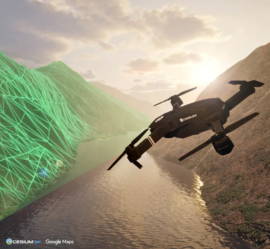
Stop by BOOTH 271 or reach out to schedule time with the team. We look forward to connecting with you in Orlando!