Provide deeper insight and more accurate analytics by visualizing in 3D geospatial. Build with CesiumJS to create web-based apps that work on any device, or create your world in UE with Cesium for Unreal.
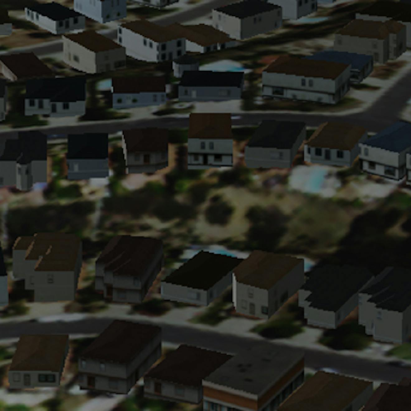
IoT data analysis can digitally transform our personal, public, and work spaces for the better, from maximizing an apartment building's energy efficiency to reducing a factory's downtime. Use the Cesium platform to visualize and understand your IoT sensor data in its precise 3D geospatial context. Perform analysis in real-time as data flows in, and rewind the clock to analyze past events. The Cesium platform can help you make sense of your data in any space, whether in orbit above Earth, in a city, underground, or at sea.
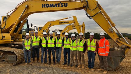
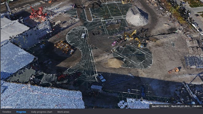
Smart Construction, built in partnership with Komatsu, combines 3D models, drone photogrammetry, GPS feeds from Komatsu heavy machines, and other data to create digital twins and simulation tools that enable safer, more efficient construction projects.
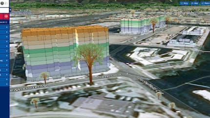
Data61 built one of the largest digital twins in the world, the NSW Spatial Digital Twin, for the state of New South Wales, Australia. The twin receives data feeds from utilities and other providers, and its primary objective is supporting emergency services and the communities that depend on them when infrastructure becomes unreliable.
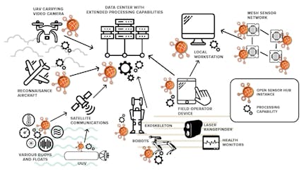
CesiumJS enables OpenSensorHub customers to bring together disparate sensor data and visualize it in one high-precision web-accessible 4D common operating picture.

Provide deeper insight and more accurate analytics by visualizing in 3D geospatial. Build with CesiumJS to create web-based apps that work on any device, or create your world in UE with Cesium for Unreal.
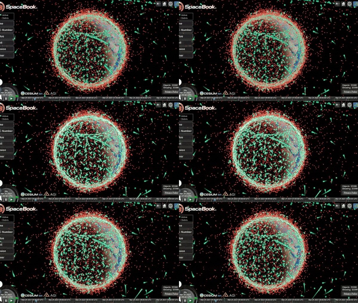
Use sensor data and 3D models to animate 3D analytics and to better understand how the present compares to the past and possible futures.

Combine your models with global 3D content like Cesium World Terrain, and stream from Cesium ion to create a virtual replica of your connected spaces.