Inception 2011
A team at Analytical Graphics, Inc. developed CesiumJS for global-scale aerospace visualization.
Cesium is an open platform for creating 3D applications that are fast, flexible, and based on real-world geospatial data. Learn more about Cesium.
For press inquiries, contact hello@cesium.com.
A team at Analytical Graphics, Inc. developed CesiumJS for global-scale aerospace visualization.
As an independent venture-backed company to build the open platform for 3D geospatial applications.
Get to know our team.
Cesium is based in Philadelphia, PA, USA.
We believe that collaboration is the key to innovation.
Dedicated to open standards, open source software, and interoperability across the ecosystem.

"VentureBeat caught up with Patrick Cozzi, CEO of Cesium, who conceived the idea for 3D Tiles."

CEO Patrick Cozzi said Cesium is deeply involved in building the metaverse and is one of the strongest advocates for making sure it is open and interoperable.
"Cesium’s expertise in cloud-based geospatial software and emphasis on open standards for streaming massive amounts of 3D content fits with Epic’s vision for an open metaverse."

"Collaboration and commitment to openness between geospatial and game technologists is driving innovation in both fields – and across industries."


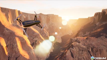
"Tomorrow's flying Uber vehicles will rely on Cesium's open-source 3D geospatial software for its in-air driving."
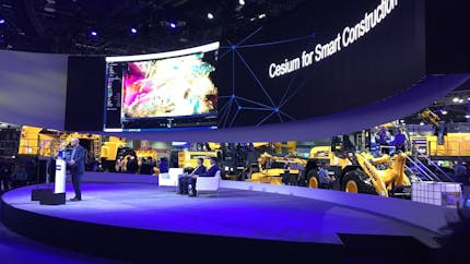
"Cesium has created a way for construction sites to collect and channel their visual data so that it can be useful for keeping tabs on a construction project’s progress."
Cesium Announces First Ecosystem Grant Recipients - May 16, 2023
Cesium Partners with Google Maps Platform to Render its New Photorealistic 3D Tiles - May 11, 2023
Cesium Announces $1 Million Ecosystem Grants - March 28, 2023
Cesium Announces Cesium for Omniverse in Collaboration with NVIDIA - March 21, 2023
Cesium for Unity Now Available - November 30, 2022
Cesium Launches Developer Certification Program - October 11, 2022
Building the Open Metaverse Full Day Course at SIGGRAPH - August 4, 2022
Building the Open Metaverse Podcast: October 28 - October 27, 2021
Dr. Norm Badler, Computer Graphics Pioneer, Joins Cesium to Lead Metaverse Research - September 21, 2021
SIGGRAPH Session Convenes Tech Leaders on the Open Metaverse - August 9, 2021
Cesium Releases Free 'Cesium for Unreal' for All Creators - March 30, 2021
Santa Claus Plans Socially Distant Visit to the International Space Station - December 10, 2020
Philly Geospatial Startup Racks Up Awards - October 7, 2020
Written by  Tom DiCarlo,
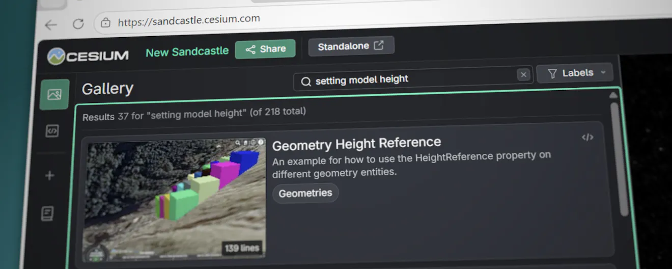
In December 2025, we shared our progress on AI-driven semantic search for Cesium Sandcastle. This feature is now generally available.
In Community, CesiumJS, News
Written by Ben Jewett,
In Events
Written by Brendan Duncan,
In Technical
Written by Sarah Chow,
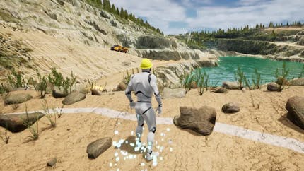
In Certified Developer, User Stories, CesiumJS, Media & Entertainment

Written by Danny Williams,
In Community, Team
Written by Luke McKinstry,
In CesiumJS, News
Written by Jeshurun Hembd,
In Cesium for Unreal, Cesium ion, Cesium for Unity, Cesium Release Roundup, CesiumJS, Cesium for Omniverse