Sentinel-2 Imagery
Global satellite imagery
Cloudless satellite imagery for the entire world down to 10 meter resolution for efficient streaming into CesiumJS and other 3D engines.
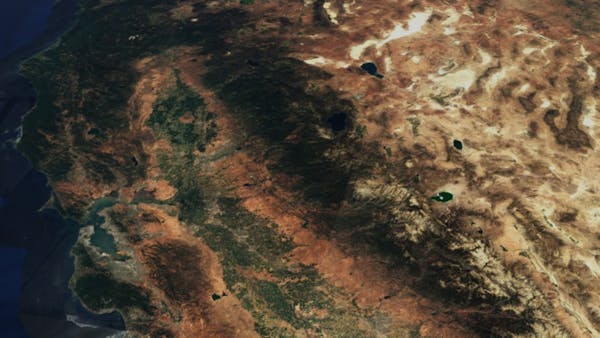
West Coast of the United States
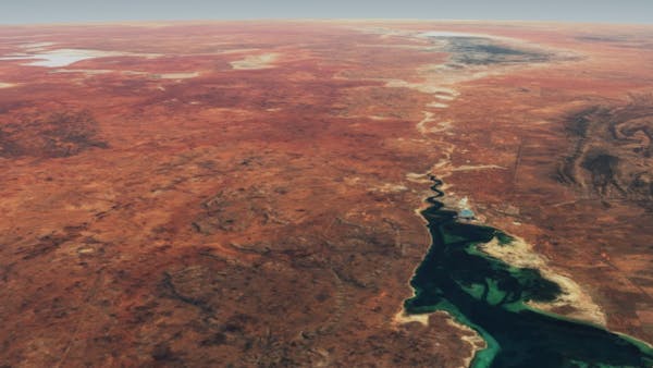
Port Augusta in Southern Australia
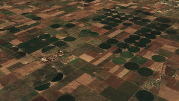
Agricultural Landscape in the Midwestern United States
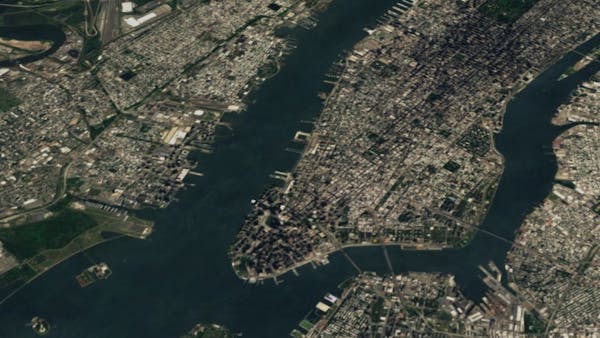
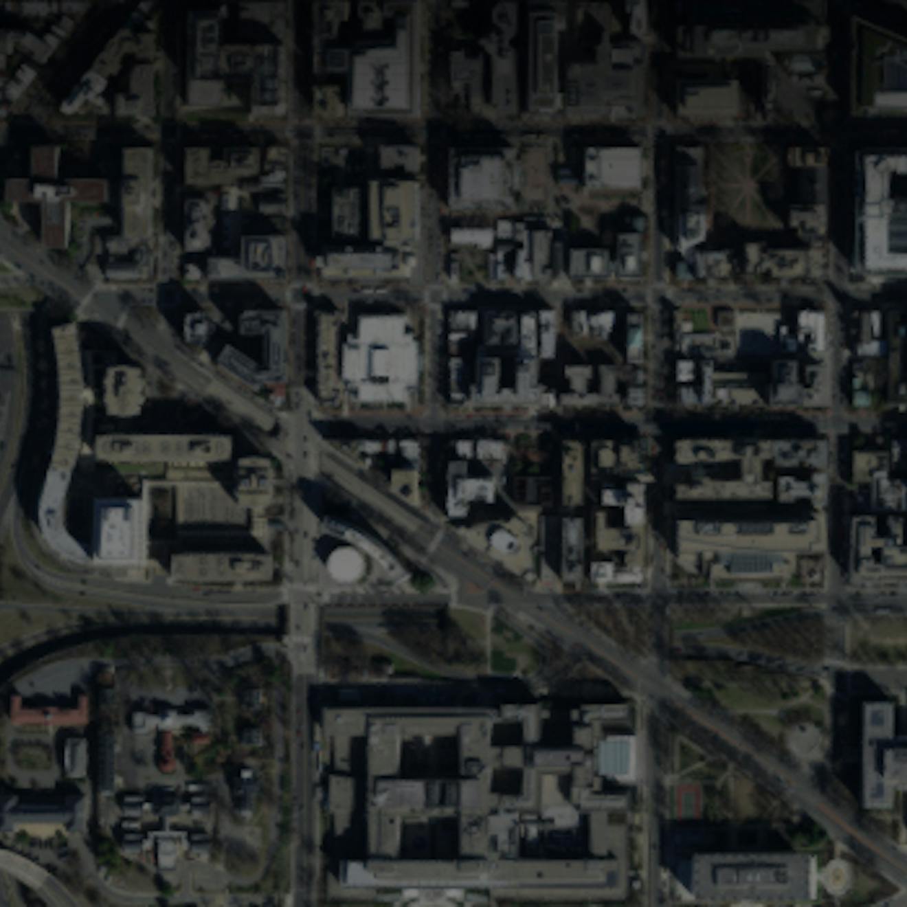
Manhattan, New York City
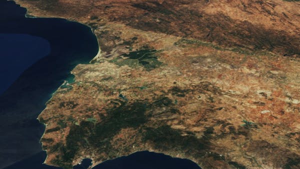
The Strait of Gibraltar in Southern Spain
Get access to Sentinel-2 Imagery
Sign up for a free Cesium ion account to use this 3D Tileset in your custom applications.
Asset specs
Format: Tile Map Service (TMS) or Web Map Tile Service (WMTS)
Coverage: Global
Resolution: 10 m to 60 m
Extent:
- North: 90°
- East: 180°
- South: -90°
- West: -180°
CesiumJS code example
var viewer = new Cesium.Viewer('cesiumContainer', {
    imageryProvider: new Cesium.IonImageryProvider({ assetId: 3954 })
);
Terms of use and attribution requirements
To learn about the terms of use and attribution requirements for Sentinel-2 Imagery, see the Cesium ion Terms of Service, Cesium Global 3D Content, and the Content Usage and Attribution Guide.
Looking for more 3D content?
We've curated global terrain, 3D buildings, and satellite imagery ready to use in custom applications.