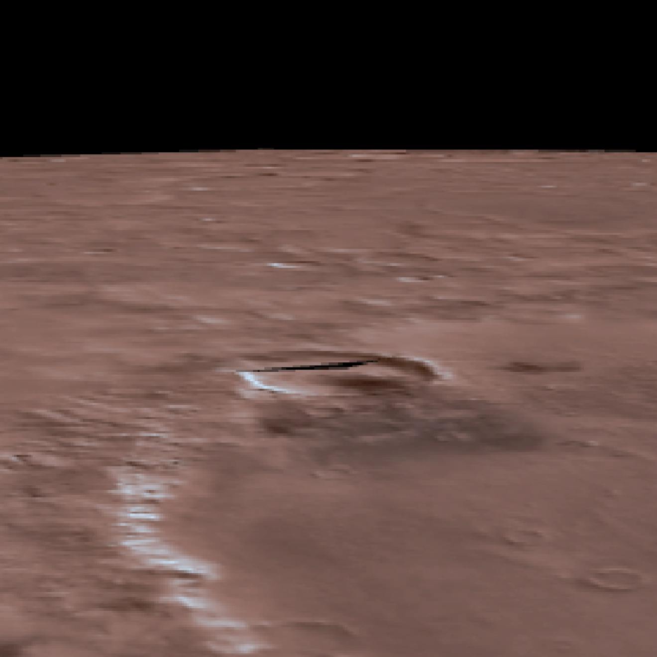
The Cesium Mars dataset. Data for Cesium Mars from the Mars Orbiter Laser Altimeter (MOLA) on the NASA Mars Global Surveyor (MGS) and the High-Resolution Stereo Camera (HRSC) on the ESA Mars Express.
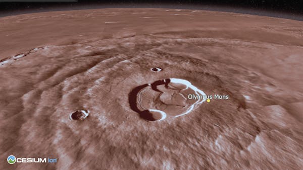
Olympus Mons visualized with Cesium Mars.
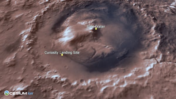
The Gale Crater visualized with Cesium Mars.
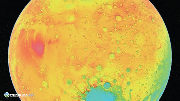
Cesium Mars draped with a Mars MOLA elevation map from NASA's Scientific Visualization Studio.
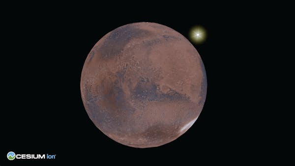
A Complete, Readily Accessible 3D Dataset of Mars
Cesium Mars is complete 3D Tiles of the Martian surface that enables 3D visualizations, simulations, and analytics to support advanced digital twin creation. Cesium Mars combines terrain captured by NASA's Mars Global Surveyor spacecraft and the European Space Agency's Mars Express spacecraft with the Mars Viking Colorized Global Mosaic imagery into a single tileset.