High performance
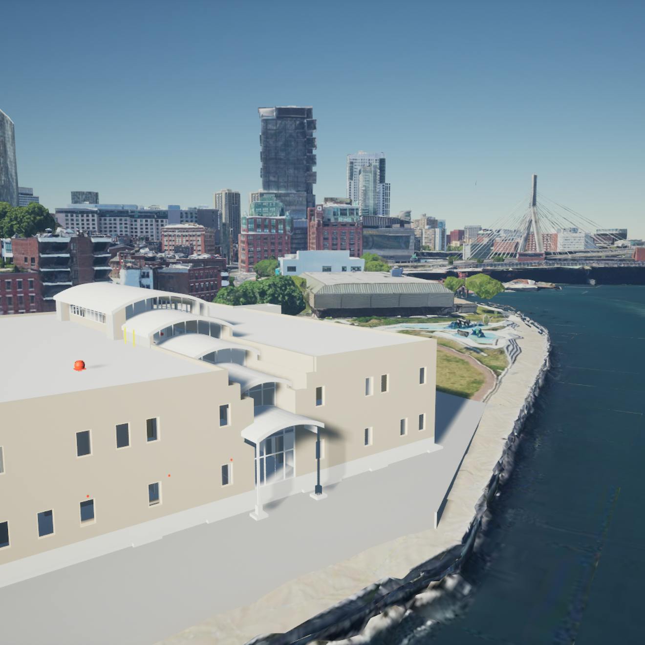
Optimizes complex design models for reduced CPU and GPU overhead. Saves bandwidth, improves performance, and minimizes memory usage so users can visualize highly detailed design models in a geospatial context.

Tile complex building information models (BIM) stored in Industry Foundation Classes (IFC) and glTF standard formats. In viewers like CesiumJS and Cesium for Unreal, Cesium's tiling enables a smooth, fast experience by taking advantage of the full potential of 3D Tiles.
Optimizes complex design models for reduced CPU and GPU overhead. Saves bandwidth, improves performance, and minimizes memory usage so users can visualize highly detailed design models in a geospatial context.
Handles all sizes of IFC BIM design, from architectural, structural, and mechanical, electrical, and plumbing (MEP) components, down to individual nuts and bolts.
Just upload your data and point your apps at Cesium ion. Also available for self-hosted deployments.
Supports open standards, including IFC and glTF.

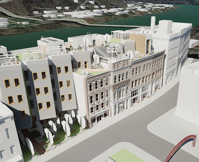
Snowdon Towers sample data provided courtesy of Autodesk.
BIM models come in many shapes and sizes, from general conceptual designs to highly detailed digital twins. To account for this, the tiler computes non-uniform tiles that consider the geometry and texture distribution in the dataset, yielding a balanced tileset. Tiles can even overlap and fit around buildings instead of splitting them. This results in far better streaming performance than the traditional uniform 2D grid approach.

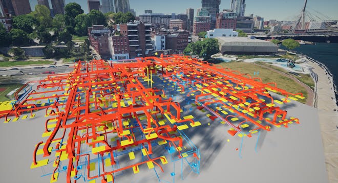
MEP components within a building model. Source: BSI (2020) "Medical-Dental Test Files," buildingSMART International.
The Design Tiler preserves entity metadata from your IFC data so you can use this information for dynamic runtime styling and analysis in your CesiumJS apps.
Set color, size, and visibility using metadata values or custom expressions combining multiple data points for advanced visualizations showcasing MEP components within your building model.

View your IFC data accurately in the correct geospatial location using the data’s embedded coordinate reference system. You can also use the Cesium ion 3D Tiles Location Editor to quickly and easily set its position, rotation, and scale on the globe.
Visualize your design data in its geospatial context, combined with other geospatial data, to provide a comprehensive digital twin of your project.
If your enterprise deployment requires the 3D Tiling Pipeline in your environment, let's talk.