High performance
Scales to massive datasets, handling everything from small patches of imagery to global-scale high-resolution imagery.
Scales to massive datasets, handling everything from small patches of imagery to global-scale high-resolution imagery.
Gracefully handles missing data as well as input with differing resolutions. Automatically reprojects data into EPSG:3857 Web Mercator.
Just upload your data and point your apps at Cesium ion. Also available for self-hosted deployment.
Supports standard formats including Floating Point Raster (.flt), GeoTIFF (.tiff, .tif), JPEG (.jpg, .jpeg), and PNG (.png).
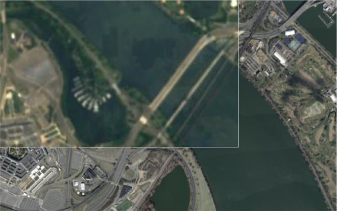
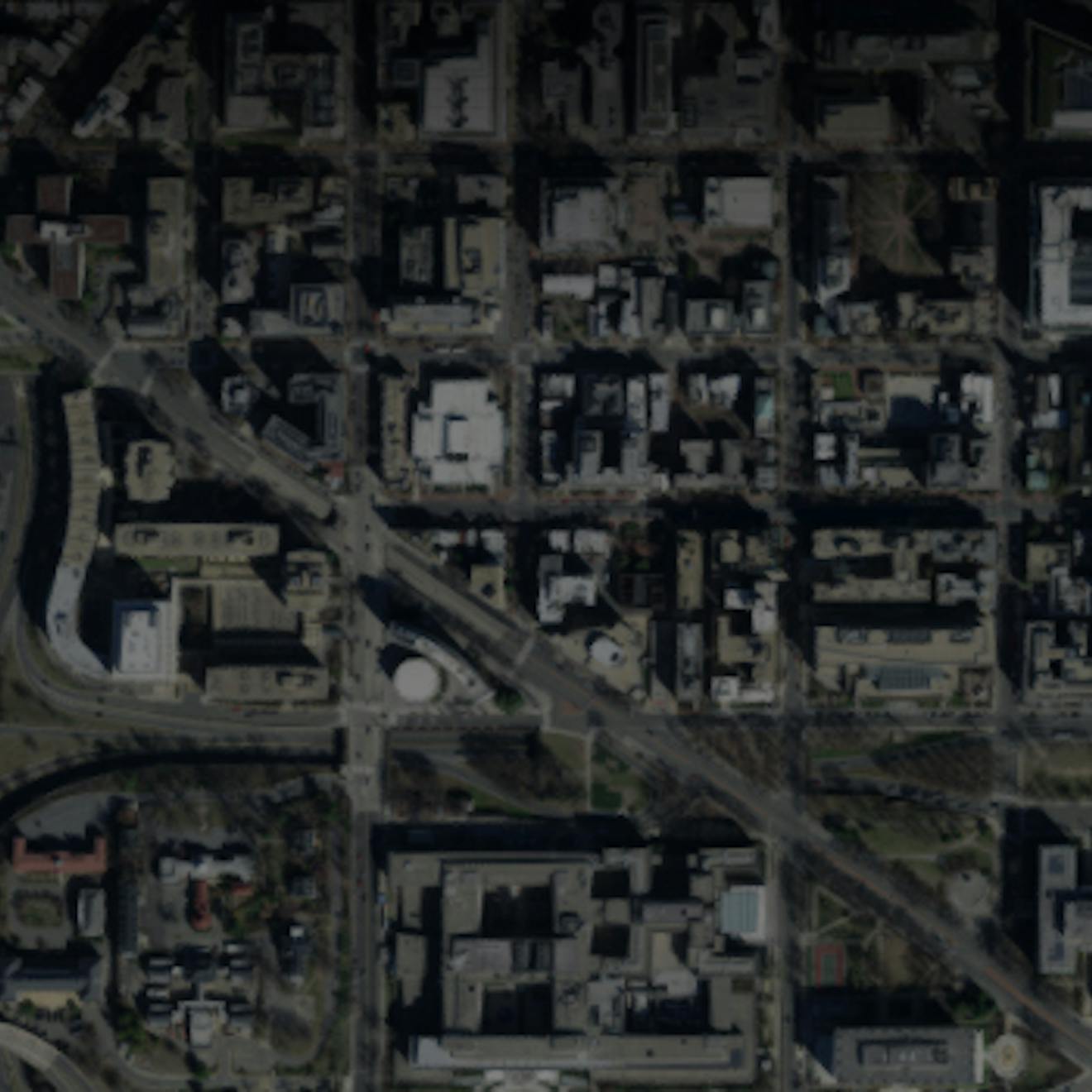
Global Sentinel-2 imagery (top left) combined with higher resolution Washington DC data (bottom).
Mosaicking allows you to bring together imagery from various sources and in different formats into a unified tileset.
At runtime, imagery layers can be dynamically superimposed in CesiumJS, making analysis easy and convenient.
If your enterprise deployment requires the 3D Tiling Pipeline in your environment, let's talk.