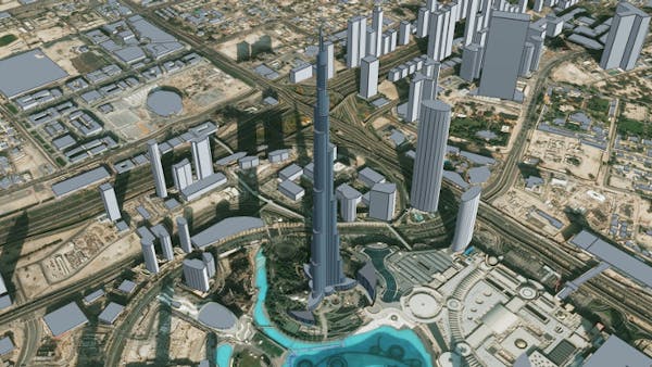
Burj Khalifa, Dubai
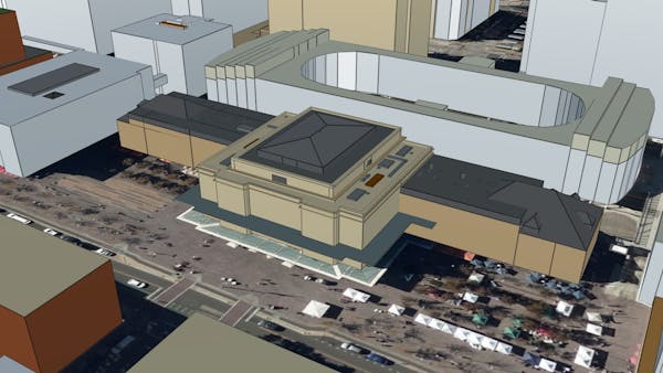
Union Station in Denver, CO
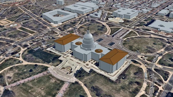
Washington, DC
San Francisco, CA
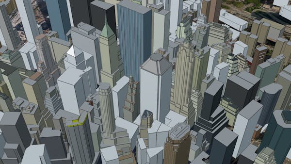
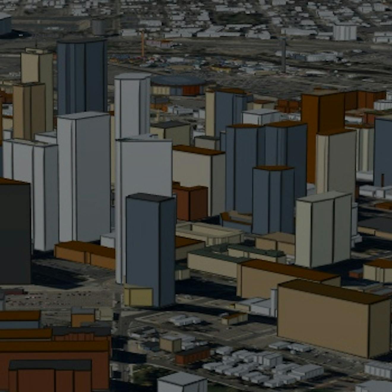
New York City
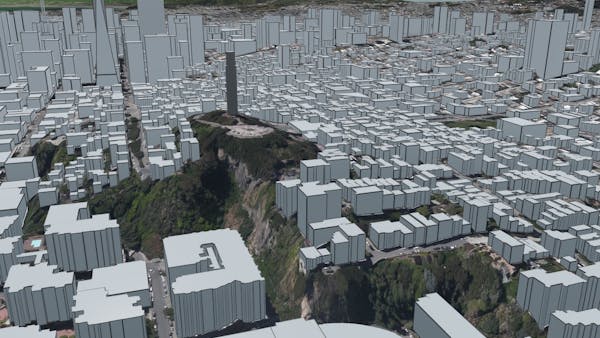
Global 3D buildings with rich metadata
Cesium OSM Buildings is a 3D buildings layer covering the entire world. It’s available as a 3D Tileset on Cesium ion, ready to use in custom applications with CesiumJS or any client that supports 3D Tiles.
It’s derived from OpenStreetMap and contains over 350 million buildings with per-building metadata. This includes basic information like building name and height, to address, opening hours, and even type of material for individual parts of buildings.
Explore a live demo of Cesium OSM Buildings.