The Virtual Cities Project Enables Users to Access Data about Lost Historical Landscapes
The Virtual Cities Project presents lost historic urban landscapes in 3D alongside related historical information. Using Cesium, the app provides context to various buildings of historical significance.
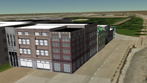
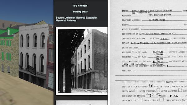
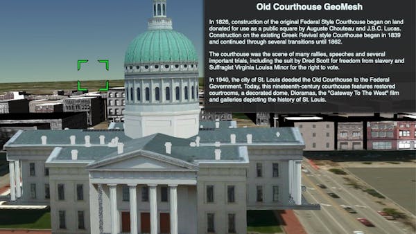
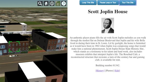
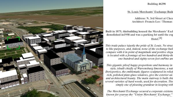
The app offers additional information about a building’s historical record, such as historical documents and images, which appear in a popup or a separate frame. The Cesium timeline allows visitors to step through a site’s history. Prebuilt, animated, Guided Tours through more complex urban landscapes can also be constructed, pointing the visitor to important sites in that landscape.
Using a palette of editing tools, users can create their own 3D cities and link both text and images to landscape features. The app’s real-time infoBox editor helps in the content creation process.
The project has been through many iterations, and at one point was built on Google Earth, the Google Earth plugin, and the associated toolset and libraries. With the end of life of the plugin and the associated API, they migrated to Cesium, which has provided even more possibilities for the app.