Virtual History Project: An Interactive Documentary for Those Who Love Maps and History
Virtual History Project is a site for tinkering with maps and exploring history. It is a place to learn, a place to connect with the past and bring history closer.
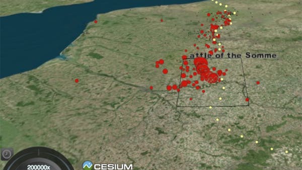
The site contains animations of historical events, designed to help users better understand their scope. For example, the recitation of the number of soldiers killed in World War I is daunting, but an animation of the time and place of all British Commonwealth graves from 1914 to 1918 can help users better visualize the evolving front of the war.
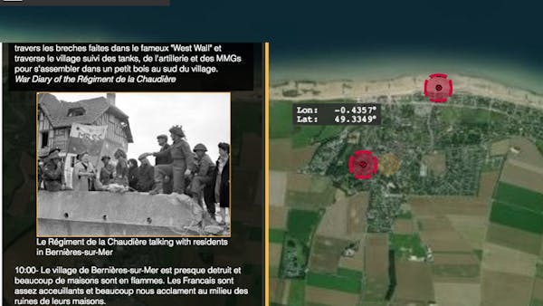
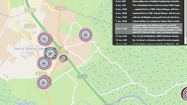
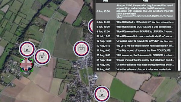
The site includes animations of a number of other historical events, including more from the First World War, from the Battle of Gettysburg, and the Battle of Normandy. Access the animations directly. Look, for example, at the experiences of the Canadian Regiment de la Chaudiere in the Battle of Normandy.
Originally built on Google Earth, the Virtual History Project (Formerly called Geo-Animate) moved to Cesium because plugins proved too cumbersome for many of the historians using the site. Check out the guest blog post by Erik Hellstedt, creator of the Virtual History Project, for more information about his transition from Google Earth to Cesium. Work on the Virtual History Project is ongoing and open to contributions.