Revisiting The Digital Earth
It has been 20 years since Al Gore introduced the concept of creating a “Digital Earth” in his January 31, 1998, speech for the California Science Center in Los Angeles. In the inspirational speech he stated, “I believe we need a ‘Digital Earth.’ A multi-resolution, three-dimensional representation of the planet, into which we can embed vast quantities of geo-referenced data.”
Growth of Geospatial Data
Let’s take a quick trip back in time to 1998. MapQuest was considered state-of-the-art mapping technology. Keyhole, the precursor to Google Earth, had yet to come on the scene. Google Maps wouldn’t be launched for another seven years.
During the now-famous speech, Al Gore spoke of being on the verge of a “wave of technological innovation” that would allow us the opportunity to “capture, store, process and display an unprecedented amount of information about our planet.” We’re now seeing this wave sweep in, with new technology enabling us to draw even more insights from the data we acquire.
In recent years the number and types of sensors collecting geospatial information has exploded. With such an influx of geospatial information, there comes the challenge of turning the raw data into understandable and useful information. After all, what good is there in having all of this information if you can’t visualize or learn from it?
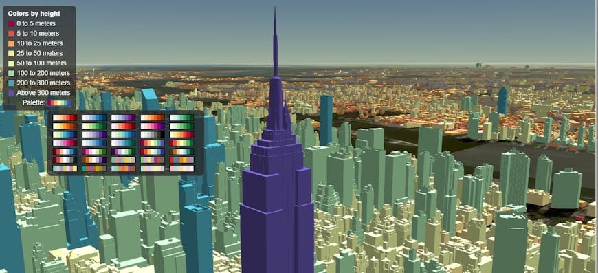
Whether on satellites or cell phones, sensors today collect vast amounts of data, much of which is inherently 3D. As they gather 3D data about our 3D world, it is only logical that the digital earth representation of that data must also be 3D.
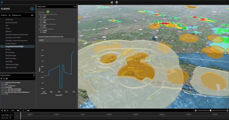
Analyzing airspace for drone fleet management with OneSky’s 3D map built on Cesium.
Cesium & The Digital Earth
From the beginning, Cesium was built for 3D. With its roots in aerospace, precision has always been a critical feature for Cesium, so there are no limits to what it can show: its maps are as accurate as the data it visualizes. With its adaptive level of detail, users can zoom out to see the entire Earth and surrounding space, complete with satellites, or zoom all the way in to see the silverware on a table. Some datasets currently visualized in Cesium are accurate at the level of centimeters.
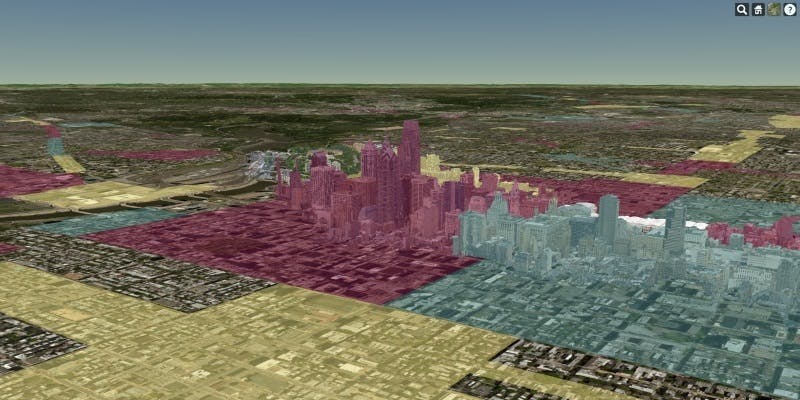
But it’s not just the 3D nature of Cesium, or its ability to portray massive amounts of data, that makes it a perfect platform for realizing the digital earth vision. Cesium also makes it possible for developers to fuse heterogeneous 3D data. Whether creators have photogrammetry models, CAD/BIM exterior and interiors, point clouds, terrain, imagery, or vector data, with3D Tiles that data can be tiled into a single, interactive 3D map. This allows diverse data collection methods to come together into a single visualization.
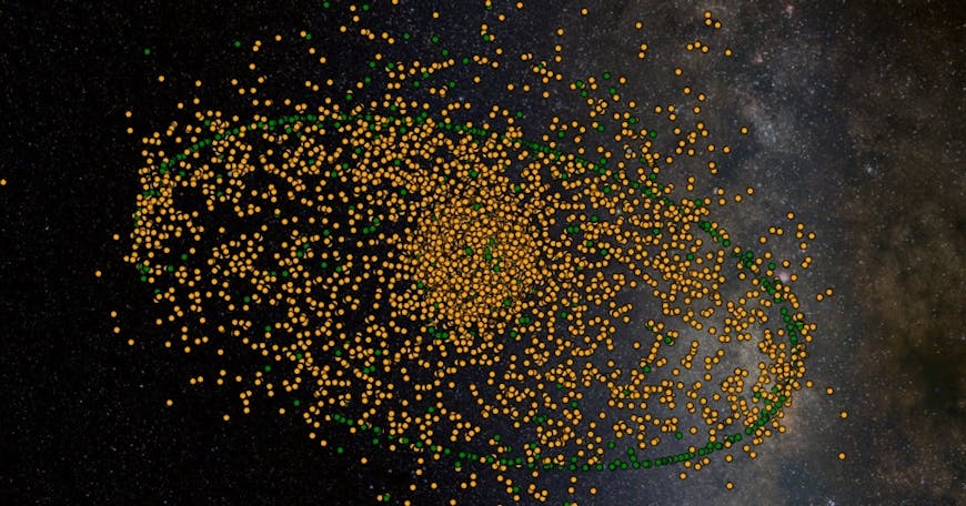
Developers are already making sense of data using numerous apps built on Cesium, from indicating snow levels in ski resorts around the world to aggregating information about commercial real estate properties. NASA is tracking tropical storms, including rainfall and wind speed. The Swiss government has put every structure and tree in the country into an application built on Cesium. Dalhousie University is tracking commercial fishing operations around in the world. The possibilities are endless.

There is Still Work To Do
Al Gore’s concluding remarks in his speech still ring true today. He said we must accept the call to continue to make the digital earth a reality because by “working together, we can help solve many of the most pressing problems facing our society, inspiring our children to learn more about the world around them, and accelerate the growth of a multi-billion dollar industry.”
This vision has energized an entire community of researchers and developers, who have founded societies and publications around the idea of creating a digital earth. The digital earth vision becomes more real every day as people around the world are able to put the extraordinary data we are gathering into a geospatial context that allows them to extract useful information and make sense of the world. We’re thrilled to be part of that mission!