FedGeoDay 2016 Trip Report
Patrick Cozzi, Dan Bagnell, and I represented the Cesium team at FedGeoDay 2016, which took place at the American Red Cross in Washington, DC, on October 13. In addition to attending, Patrick was the conference chair, and we both had the opportunity to emcee some of the sessions. We were also a sponsor.
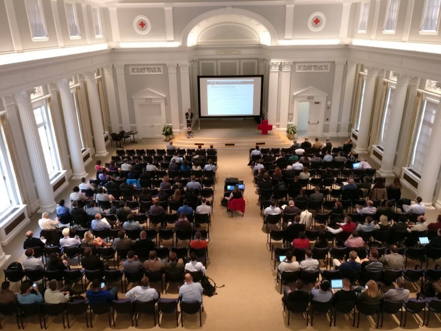
Ray Bauer of NGA giving his keynote in the Hall of Service.
It was a great one-day conference that demonstrated just how widespread open source geospatial software has become throughout the US federal government. Government agencies aren’t just using open source software; they are contributing back to the community and running their own projects as well. Ray Bauer, the innovation lead for National Geospatial-Intelligence Agency, made this abundantly clear during his keynote by showcasing the wide variety of open source projects maintained on their officialGitHub page.
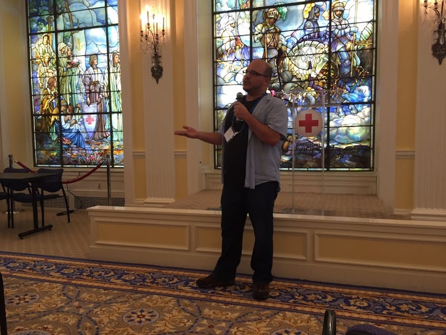
Matt Amato presents Cesium 3D Tiles.
While there were many talks on a variety of topics, the two talks most relevant to the Cesium community were grouped together in a visualization-oriented session. I had the privilege of presenting an overview of Cesium 3D Tiles and the rapidly growing ecosystem around them [slides].
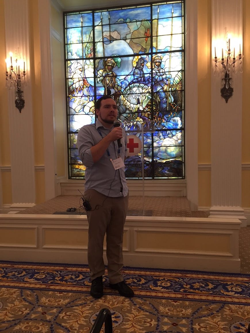
Matt Lammers discusses his use of Cesium for weather visualization at NASA Goddard.
Matthew Lammers of NASA Goddard presented some amazing work he’s doing with weather and satellite visualization in Cesium [slides]. Matt also has the distinction of having his work showcased on our website three separate times, so be sure to check that out as well.
I think it’s safe to say that with over 200 attendees and lots of great conversations, FedGeoDay will become an annual event for the Cesium team.
Our presentations and many more are available on the presentations page.