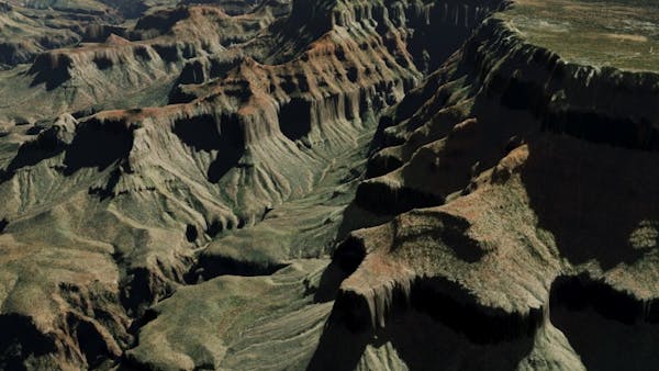
Grand Canyon National Park, Arizona
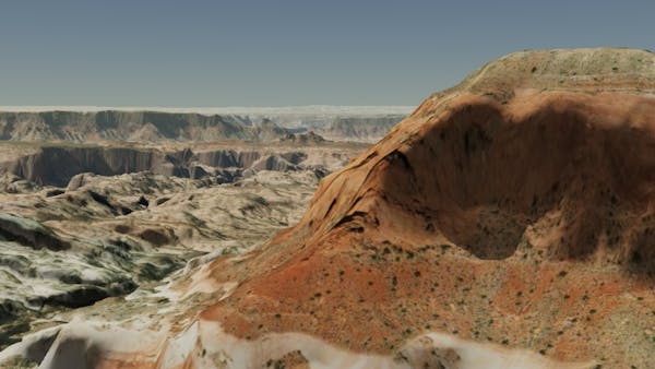
Glen Canyon National Recreation Area, Utah
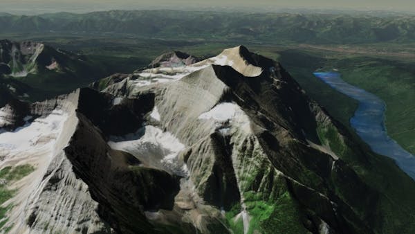
Glacier National Park, Montana
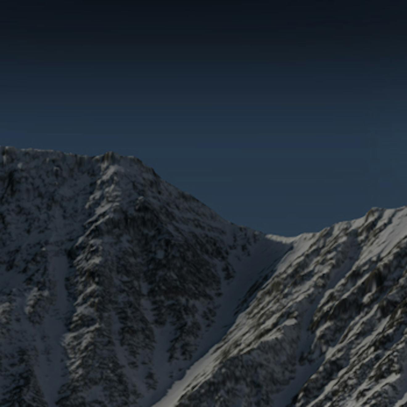
Snowdonia National Park, Wales
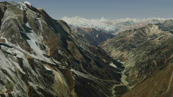
Himalaya Mountain Range, Nepal
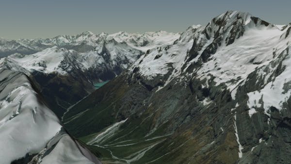
Mount Aspiring National Park, New Zealand
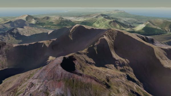
High resolution global 3D terrain
Cesium World Terrain fuses several data sources into a single quantized-mesh terrain tileset optimized for 3D map visualization and efficient streaming into CesiumJS, Cesium for Unreal, and other 3D engines.
Cesium World Terrain was curated and tiled for efficient 3D visualization. Leaf tiles contain pre-generated meshes of the highest-resolution source data for that location; level of detail for non-leaf tiles was created with a terrain-specific simplification algorithm that computes geometric error for run-time level-of-detail control.