
A submerged submarine visualized with Cesium for Unreal
The Great Barrier Reef visualized with CesiumJS
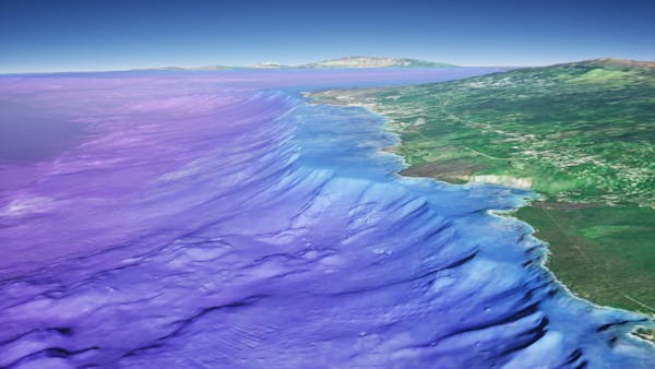
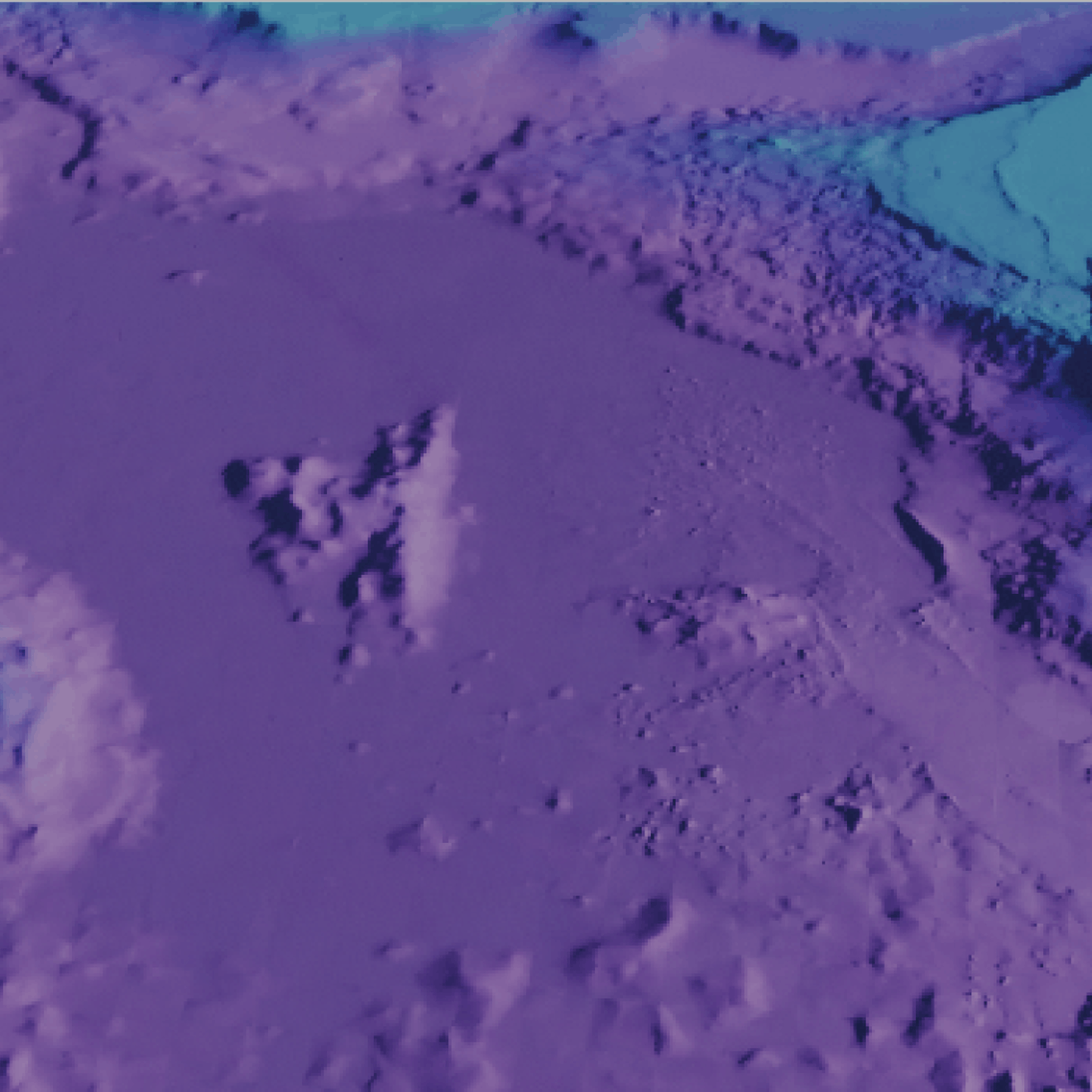
Hawaii coastline in Cesium World Bathymetry
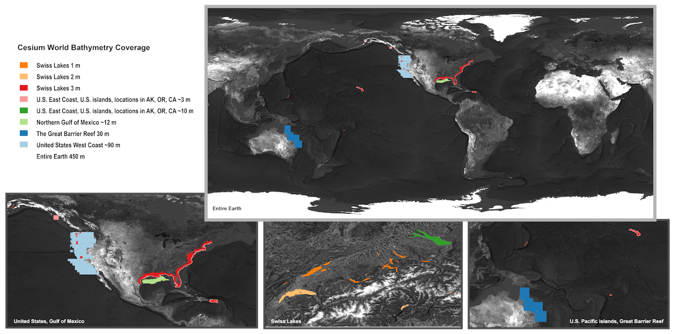
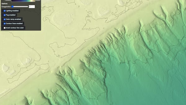
Global bathymetry and topographic terrain
Cesium World Bathymetry is a global bathymetry and topographic terrain tileset that enables 3D visualizations, simulations, and analytics for use cases like oil and gas exploration, navigation for unmanned undersea vehicles (UUVs), managing offshore wind farms, and analyzing essential climate science. It fuses multiple data sources into a single tileset, including GEBCO's 2023 global dataset, high-resolution bathymetric data around the world, and topographical terrain for inland coverage, enabling you to build applications that span underwater, over land, and in the air.