Cesium Moon Terrain

Cesium Moon Terrain

The First Complete, Accurate, and Readily-Accessible 3D Dataset of the Moon

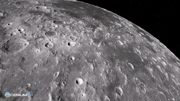
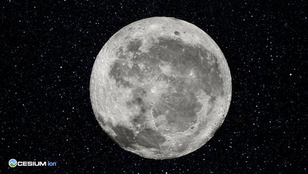
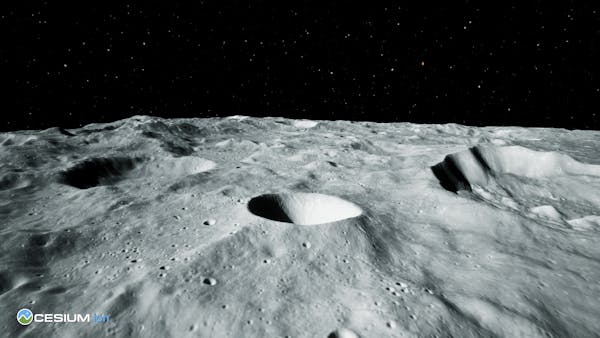
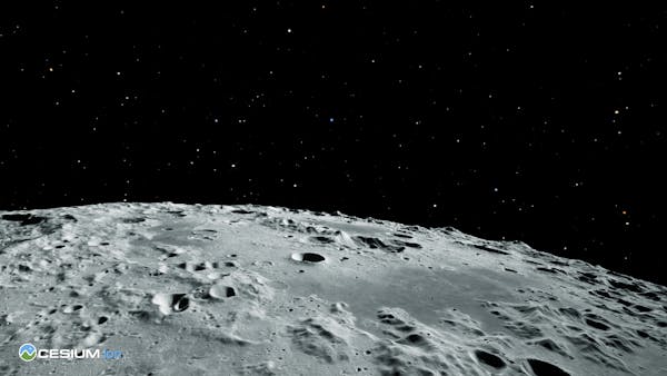
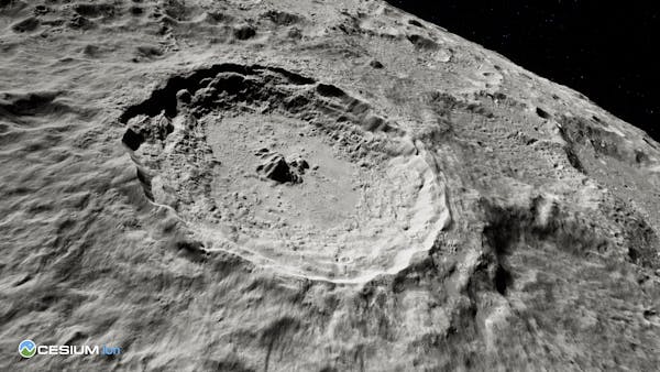
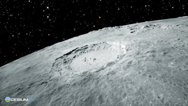
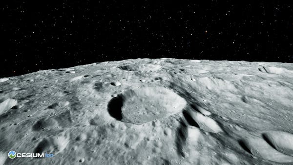
Cesium Moon Terrain is complete 3D Tiles of the lunar surface that enables 3D visualizations, simulations, and analytics to support advanced digital twin creation. Cesium Moon Terrain combines multiple datasets available from NASA’s Lunar Reconnaissance Orbiter (LRO) into a single tileset with the highest resolution data located around the critical polar regions of the Moon. 
Get access to Cesium Moon Terrain

Sign up for a Cesium ion account to use this 3D tileset in your custom applications.

Asset Specs: 3D Tiles

Coverage: The Moon

Resolution:
Mid Latitudes - 60N - 60S

  • Imagery - Moon LRO LROC WAC Global Morphology Mosaic - 100m per pixel
  • Terrain - Moon LRO LOLA - SELENE Kaguya TC Shaded Relief Merge 60N60S - 59m per pixel

North Pole

  • Imagery - 60N - 90N - WAC Global Morphologic Map - 100 meters per pixel 
  • Imagery - 85.5N - 90N - LROC NAC images of the North pole 1 m/px at the pole
  • Terrain - Lunar Reconnaissance Orbiter LOLA RDR Gridded Data Collection 
  • 60 N - 90 N  - 60m per pixel
  • 75 N -90 N - 30m per pixel
  • 80 N -90 N - 20m per pixel
  • 85 N -90 N - 10m per pixel
  • 87.5 N -90 N - 5 m per pixel

South Pole

  • Imagery - 60S - 90S - WAC Global Morphologic Map - 100 meters per pixel 
  • Imagery - 85.5S - 90S - LROC NAC images of the South pole 1 m/px at the pole
  • Terrain - Lunar Reconnaissance Orbiter LOLA RDR Gridded Data Collection 
  • 60 S - 90 S  - 60m per pixel
  • 75 S -90 S - 30m per pixel
  • 80 S -90 S - 20m per pixel
  • 85 S -90 S - 10m per pixel
  • 87.5 S -90 S - 5 m per pixel

CesiumJS Code Example

// Set the default ellipsoid to the moon instead of WGS84
Cesium.Ellipsoid.default = Cesium.Ellipsoid.MOON;

const viewer = new Cesium.Viewer("cesiumContainer", {
  // This is a global 3D Tiles tileset so disable the
  // globe to prevent it from interfering with the data
  globe: false,
  // 2D and Columbus View are not currently supported
  // for global 3D Tiles tilesets
  sceneModePicker: false,
  // Imagery layers are not currently supported for
  // global 3D Tiles tilesets
  baseLayerPicker: false,
  // Geocoder is not currently supported for lunar locations
  geocoder: false,
});

try {
  const tileset = await Cesium.Cesium3DTileset.fromIonAssetId(2684829);
  viewer.scene.primitives.add(tileset);
} catch (error) {
  console.log(error);
}

Cesium ion Self-Hosted

If your enterprise deployment requires the use of Cesium Moon Terrain in your own environment, let's talk.

Terms of use

The Terms of Use include the Cesium ion Terms of Service and the following tileset-specific Terms of Use:

Copyright © 2024 Cesium GS, Inc. All Rights Reserved. This tileset may not be copied or used except under the terms described in the Terms of Use or by a separate written agreement with Cesium GS.

  • You may not copy, store, or redistribute any portion of the tileset for use in an offline, disconnected, or local environment. Client-side and proxy-based caching are allowed as long as it is a general caching mechanism caching other internet traffic as well, not just Cesium Moon Terrain data.
  • You must clearly display the attribution for this tileset defined below.
  • You agree that Cesium Moon Terrain is provided as-is and at-will, and will not hold Cesium GS responsible for anything bad that happens as a result of your use of the tileset or your inability to use the tileset.
  • You agree that these terms of use may change at any time, and that your continued use of the tileset constitutes acceptance of the new terms.

Looking for more 3D content?

We've curated global terrain, 3D buildings, and satellite imagery ready to use in custom applications.