Agenda
Wednesday, August 19
Seminar Day
Seminar Day explores how Cesium-powered 3D geospatial platforms are being applied across industries and public-sector initiatives.
Sessions will examine how digital twins enable accurate understanding of the real world, data sharing, and long-term decision-making across diverse domains—including urban environments, infrastructure, industry, academia, and space.
EARTHBRAIN transforms construction with 3D and digital twins. Facing labor shortages and low productivity, Smart Construction connects survey, design, execution and inspection in 3D, now live on 12,174 sites. Built on Cesium technology since 2018, it advances toward simulation and unmanned operation.
This presentation introduces 3D Tiles 2.0, the next generation of the 3D Tiles open standard for streaming large‑scale 3D geospatial content. Learn how 3D Tiles 2.0 builds upon glTF 2.1 as its core content model, enabling efficient delivery of rich, standards‑based 3D assets within the 3D Tiles spatial hierarchy. This session provides an overview of the new features coming to 3D Tiles and how building upon glTF 2.1 provides a strong foundation for the future of 3D Tiles as it expands into new horizons.
Beyond SDA explores how space domain awareness must evolve from observation to decision advantage. Through Cesium, COMSPOC, and LSAS technologies, this presentation demonstrates how visualization, analytics, and AI-enabled operational intelligence can support mission assurance and cross-domain operations in an increasingly contested space environment.
As part of Project PLATEAU, an initiative led by the City Bureau of Japan's Ministry of Land, Infrastructure, Transport and Tourism (MLIT) in collaboration with industry, academia, and government, 3D city models that digitally replicate real-world urban environments have now been developed in more than 300 cities across Japan.
These 3D city models are increasingly being utilized by local governments, private companies, and research institutions in a wide range of fields, from urban planning and community development to disaster prevention and resilience.
This presentation will review implementation efforts across cities to date and introduce PLATEAU’s latest initiatives and future vision, with a focus on establishing 3D city models as a digital public good that can be autonomously and sustainably leveraged by a broader range of stakeholders.
As the volume of Earth observation data generated in space is expected to grow dramatically in the coming years, NTT is advancing its vision for a “Space Data Center,” where data can be processed and transmitted directly in orbit. This presentation introduces two key roles that Cesium plays in this research and development effort.
The first is as an interface that connects users with space. Using a Cesium-based tasking interface, satellite orbits and communication links with ground stations are visualized through CZML, enabling users to design processing pipelines and uplink them to satellites simply by selecting locations on a map. Based on the uploaded pipeline, satellites process imagery onboard and downlink only the extracted areas of interest. Demonstrations using an operational satellite have achieved a 96% reduction in downlinked data volume.
The second role is as a digital twin for reproducing space environments. By mounting Japan’s PLATEAU 3D city models on Cesium ion and generating synthetic imagery from arbitrary satellite orbits and attitudes, NTT has built a testbed that enables on-orbit processing algorithms to be validated on the ground. This session will showcase how Cesium supports both user interaction with space assets and the simulation of space-based systems for next-generation data processing infrastructure.
3D Gaussian Splatting continues to evolve as a leading technology for applications such as mapping, digital twins, robotics, and the emerging field of Physical AI. At Niantic Spatial, we have developed SPZ, an open-source data format for 3D Gaussian Splatting, designed to improve compression, performance, and visual quality. In this session, we will introduce the SPZ specification, explain how it enables efficient storage and delivery of Gaussian Splatting content, and discuss its integration with the Cesium ecosystem. We will also share our vision for the future of SPZ and its role in advancing the next generation of large-scale 3D spatial computing.
Construction DX is not achieved through technology alone. Successfully transforming the industry requires identifying real-world challenges, turning innovative technologies into practical products, and driving adoption at scale across the market. In this session, the founder shares the journey of launching a point cloud startup in 2019, developing ScanX, a Cesium-based 3D data analytics platform, scaling it to more than 10,000 construction sites, and ultimately becoming part of the ZENRIN Group. Through examples such as large-scale point cloud visualization, AI-powered classification, user experience and workflow design for field adoption, and integration with ZENRIN’s road point cloud datasets, this talk highlights key lessons learned in bringing advanced 3D technologies from innovation to real-world business success.
This presentation introduces the technical approach and real-world implementation of the spatial AI platform “TRANCITY Nebula,” which automatically reconstructs and structures high-fidelity 3D environments from videos and other data sources using Cesium.
Modern infrastructure management requires more than simple 3D visualization. It demands advanced intelligence powered by spatial AI, including rapid access to vast datasets, integration of inspection data, and change detection analysis through AI-driven spatial understanding.
TRANCITY leverages Cesium 3D Tiles for large-scale data streaming and makes extensive use of technologies such as Cesium for Unreal to deliver this advanced spatial AI platform.
The session will showcase concrete use cases and demonstrate how these technologies support more effective decision-making in the field.
Understanding Japan's coastal environment and conserving marine productivity and biodiversity matters not only for fisheries but for reconciling industry with the environment through the blue economy. Yet the coast cannot be understood by looking at the coast alone: watershed management on the land side and coastal management need to be handled as one.
Treating the two as a single system requires a digital twin that runs seamlessly from land into the sea. Shizuoka Prefecture, which holds Japan's steepest land–sea continuum — from the summit of Mt. Fuji at 3,776 m to the floor of the Suruga Trough at −2,500 m — is an ideal place to demonstrate it. We are building that cross-section as a single digital twin from open data alone: VIRTUAL SHIZUOKA point clouds, GEBCO bathymetry, Himawari, and Copernicus Marine, converted to 3D Tiles and rendered in CesiumJS. In this talk we walk through the practical side of data conversion with the Voxel Tiler and discuss what 3D Tiles 2.0 brings to digital twins of the natural environment.
This lecture explores the practice of OSINT (open-source intelligence) and digital archiving, focusing on cases ranging from the Pacific War to Ukraine and Gaza, the Strait of Hormuz crisis, and large-scale disasters. It examines how publicly available information can be visualized and transformed into verifiable knowledge that is shared with society.
Cesium DevDay Japan is more than a technical event. It is an opportunity to connect people, share ideas, and highlight stories from across the 3D geospatial ecosystem.
In this session, we will introduce the resources, programs, and community initiatives available to support Cesium users in Japan, including the Cesium Community Forum, Cesium Community Developers (CCD), technical blogs, Sandcastle examples, and upcoming events.
We will also share how user stories, success stories, and community contributions help accelerate the adoption of 3D geospatial technologies and digital twins. Finally, we will discuss upcoming opportunities for engagement through hands-on workshops, webinars, seminars, and participation in industry and open-source events.
Join us as we look beyond DevDay and explore how we can continue growing a collaborative and connected 3D geospatial ecosystem in Japan.
Speakers

Patrick Cozzi
Chief Platform Officer at Bentley Systems; Founder, Cesium
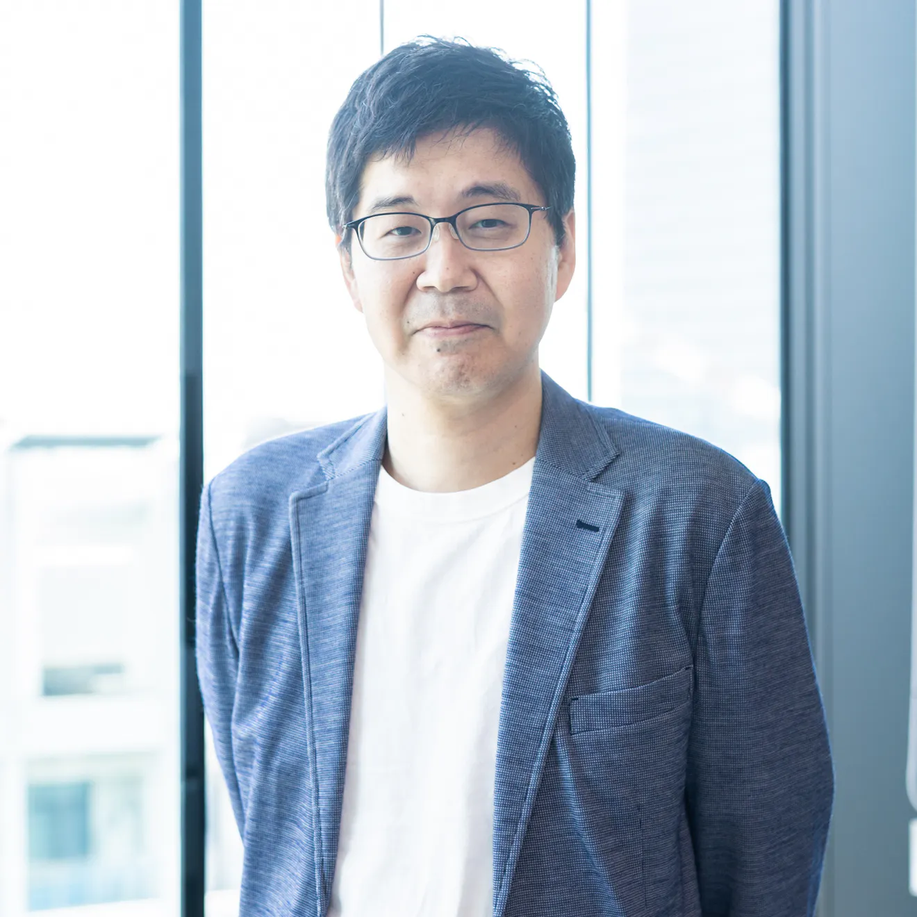
Kosaku Igawa
CIO/CTO, EARTHBRAIN

Eiji Takahashi
CEO, LSAS Tec Co., Ltd

Sean Lilley
Distinguished Architect, Cesium
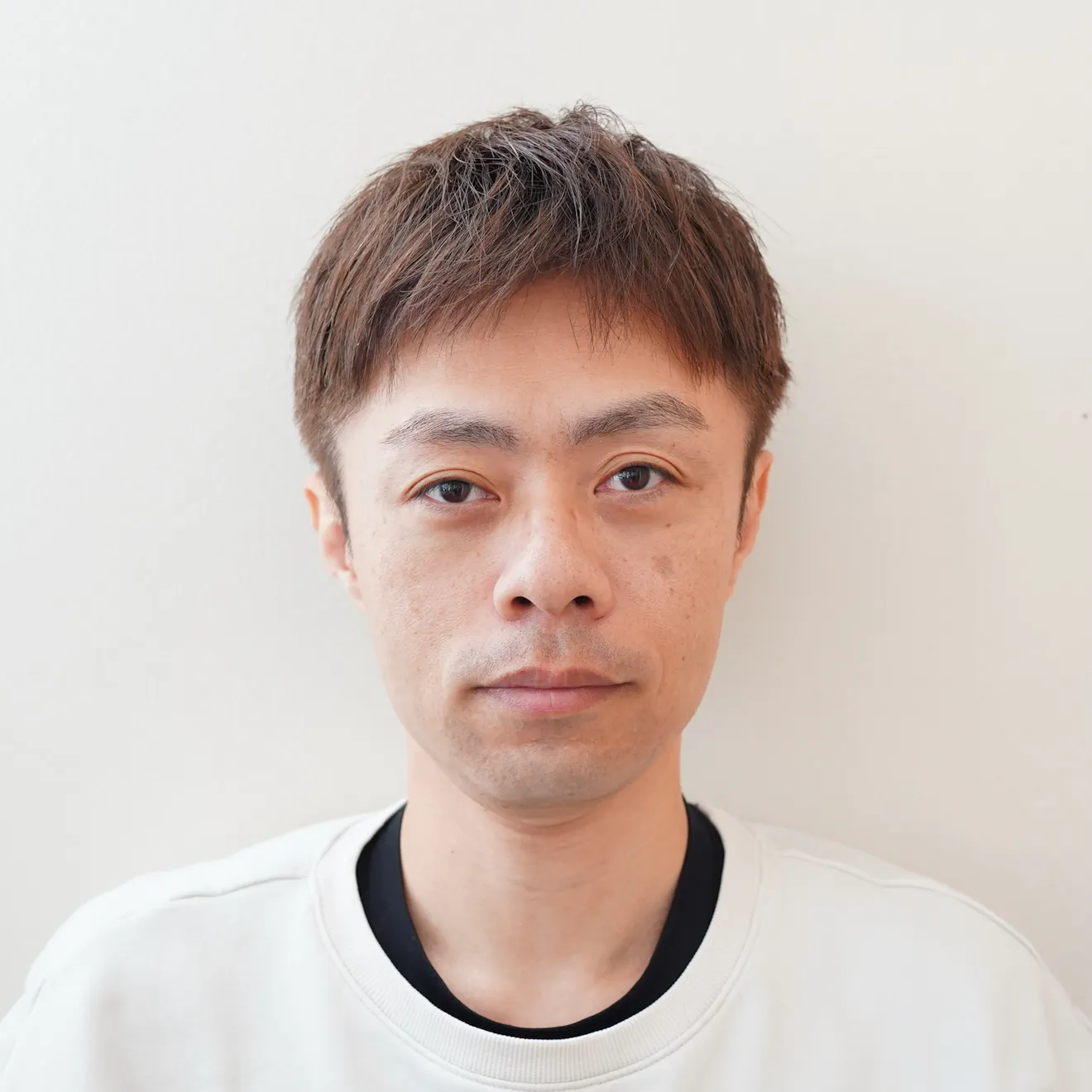
Hajime Wakabayashi
Software Engineer, EARTHBRAIN
Hidenori Watanave
Professor, Interfaculty Initiative in Information Studies / Graduate School of Interdisciplinary Information Studies, The University of Tokyo

Garrett Johnson
Creator and Maintainer, 3DTilesRendererJS

Yusuke Takase
Researcher, NTT, Inc.

Takuya Takamizawa
CTO, Calta Inc.
Hiroo Imaki
CEO, Pacific Spatial Solutions, Inc.
Satoshi Miyatani
Founder, Locus Blue Co., Ltd
Hiroki Fujita
Section Chief, Digital Information Utilization Promotion Office, International and Digital Policy Division, City Bureau, Ministry of Land, Infrastructure, Transport and Tourism (MLIT) (Project Manager, Project PLATEAU)

Gen Kukita
Community Manager, Japan, Bentley Systems

Nisho Matsushita
Senior Partner Engineer, Niantic Spatial Japan, Inc.
Speaker bios
Patrick Cozzi is Chief Platform Officer at Bentley Systems and founder of Cesium, the leading open 3D geospatial platform. He created CesiumJS, 3D Tiles, and co-created glTF. A recognized leader in open standards and digital twins, he helps advance interoperable 3D ecosystems worldwide.
Sean Lilley leads 3D software development at Cesium from data acquisition to visualization and analysis, including the Cesium ion 3D tiling pipelines and Cesium runtime engines. He is the co-editor of 3D Tiles and a contributor to glTF 2.1. Sean’s interest in computer graphics began as a Digital Media Design student at the University of Pennsylvania, where he developed a game engine in his free time. He interned at Electronic Arts and AMD and was published in GPU Pro while still an intern. He presents frequently at conferences such as FOSS4G
After joining Booz Allen Hamilton Japan (now PwC Strategy&) in 2000, he worked as a consultant at Accenture and UL Systems. He later joined Shochiku, where he served as Group ICT Executive, leading ICT strategy development and project management initiatives.
In October 2017, he joined LANDLOG Inc., the company responsible for executing Komatsu’s open platform strategy. In July 2021, he was appointed President and CTO of the Landlog Company at EARTHBRAIN. As the executive responsible for Smart Construction product development, he has led the establishment of an in-house development team and driven AI development initiatives.
Eiji Takahashi is the Founder and President of LSAS Tec Corporation. With more than 25 years of experience in the space and defense sectors, he has specialized in the analysis and simulation of aerospace vehicles across land, sea, air, and space domains, as well as the development and commercialization of satellite orbit analysis software. Throughout his career, he has contributed to numerous key initiatives supporting Japan’s space development and national security programs, while advancing the adoption of satellite data solutions for government agencies and private enterprises. Today, he leads LSAS Tec’s efforts in Space Situational Awareness (SSA), satellite operations support, and digital solutions for the space industry.
A Staff Engineer leading the development of dashboards and simulation technologies for Smart Construction. Working closely with engineering teams in the United States, he drives product development efforts in Japan. His strengths include engineering leadership, product development, and building high-performing teams.
He joined EARTHBRAIN in 2022 and has served in his current role since July 2024. Prior to EARTHBRAIN, he joined Sony in 2009, where he worked on embedded 2D/3D GPU driver development, web applications for professional camcorder systems, R&D for AR glasses platforms, and system architecture and requirements analysis for AITRIOS.
Hidenori Watanave is a Professor at the University of Tokyo and Deputy Director of its Communications Strategy Office. Specializing in digital archives, information design, and OSINT, he is widely recognized for pioneering visualizations of wars, disasters, and social issues using geospatial and digital technologies. His work has received numerous prestigious awards and has had significant impact in both academia and society.
Hiroki Fujita joined a real estate company in 2016, where he was engaged in urban redevelopment projects, town management initiatives, and business continuity planning (BCP) promotion within the urban development division.
Since 2022, he has been responsible for area management and smart city initiatives.
Since 2026, he has been with the City Bureau of Japan's Ministry of Land, Infrastructure, Transport and Tourism (MLIT), where he has been leading Project PLATEAU, a national initiative to develop and promote the use of 3D city models.
Senior Partner Engineer at Niantic Spatial. Works on NSDK samples, Scaniverse development, and supporting partner companies in PoC development. Recently expanding into ROS integration, exploring how spatial data from Scaniverse — including meshes, Gaussian splats, and VPS — can be leveraged for robot learning.
Ricardo Cabello (Mr.doob) is the creator of Three.js, one of the most influential and widely adopted open-source JavaScript library for 3D graphics on the web. Since founding the project in 2010, he has played a pivotal role in making browser-based 3D visualization accessible to millions of developers and organizations worldwide, helping establish the foundation for today's interactive 3D web.
Garrett Johnson is the creator and maintainer of 3DTilesRendererJS, an open-source library for rendering 3D Tiles on the web, used across a range of rendering engines. Based in Tokyo, he spent 10 years building visualization tools for robotics and spacecraft operations software at NASA's Jet Propulsion Laboratory. For nearly a decade, he has contributed to three.js and its ecosystem.
After working in construction engineering and systems development at East Japan Railway Company (JR East), he co-founded CalTa and now leads the architecture and development of TRANCITY Nebula, a 3D spatial AI platform. Combining deep domain expertise in the construction and infrastructure industries with cutting-edge 3D and Spatial AI technologies, including Cesium, he is driving the creation of digital twins for large-scale infrastructure such as railways and the development of next-generation infrastructure operating systems. He is a licensed Professional Engineer (Civil Engineering) and a Cesium Certified Developer.
Hiroo Imaki is the Founder and CEO of Pacific Spatial Solutions, based in Tokyo. He specializes in biodiversity conservation, GIS, 3D city models, and digital twin implementation, with extensive experience in data transformation using FME and the design, development, and operation of visualization platforms built on CesiumJS and TerriaJS. In recent years, he has focused on the adoption and implementation of cloud-native geospatial technologies including STAC, GeoParquet, and 3D Tiles. He has participated in the Tokyo Digital Twin Project since its inception and played a key role in the design, development, and visualization of the original Project PLATEAU 3D viewer. An active contributor to the OGC and FOSS4G communities, his current work centers on building and operationalizing digital twin frameworks that seamlessly integrate terrestrial and marine environments, from watersheds to the seafloor.
Born in Nobeoka, Miyazaki Prefecture, he earned a master’s degree in Aerospace Engineering from the University of Tokyo before continuing his studies at ISAE-SUPAERO in France. A recipient of the University of Tokyo President’s Award, he began his career as an engineer at Airbus before gaining international startup experience as the only Japanese employee at companies including Airware in Silicon Valley and Airobotics in Israel. After returning to Japan in 2019, he founded Locus Blue and launched ScanX, a 3D data analytics platform for the construction industry. In 2024, the company was acquired by ZENRIN Corporation. He was selected for Toyo Keizai’s “Amazing Ventures 100” in 2021, received the Minister of Land, Infrastructure, Transport and Tourism Award at the i-Construction Awards, and was honored with the Forbes Japan Rising Star Award in 2022.
Researcher at NTT’s Computing Technology Center. He specialized in astrophysics at Okayama University, where he focused on designing observation methods for scientific satellite missions exploring the origin of the universe while also conducting research on data analysis techniques, earning a Ph.D. in 2025. During his studies, he participated in international satellite projects and developed observation simulators. After joining NTT in 2025, he began researching distributed computing platforms for the company's Space Data Center initiative, which aims to transform outer space into a new infrastructure for data processing and communications. His work focuses on enabling collaboration among large numbers of satellites to perform distributed computation, bridging fundamental science and industry through technologies that make space-generated data more accessible and usable.
Gen Kukita leads community engagement activities for Cesium in Japan. Working with stakeholders across industry, government, academia, and the developer community, he helps foster the adoption of digital twin applications powered by 3D geospatial technologies and supports the growth of the broader ecosystem.
His work connects Japanese and global 3D geospatial communities across a wide range of domains, including aerospace, infrastructure, construction, disaster resilience, smart cities, research, and education.