Cesium Announces New Set of Ecosystem Grant Recipients
I’m delighted to announce a new cohort of Cesium Ecosystem grantees. These recipients impressed us with their commitment to the 3D geospatial ecosystem by strengthening integrations between tools and lowering the barrier to entry for users.
3D GLOBE IN QGIS
North Road and Lutra Consulting
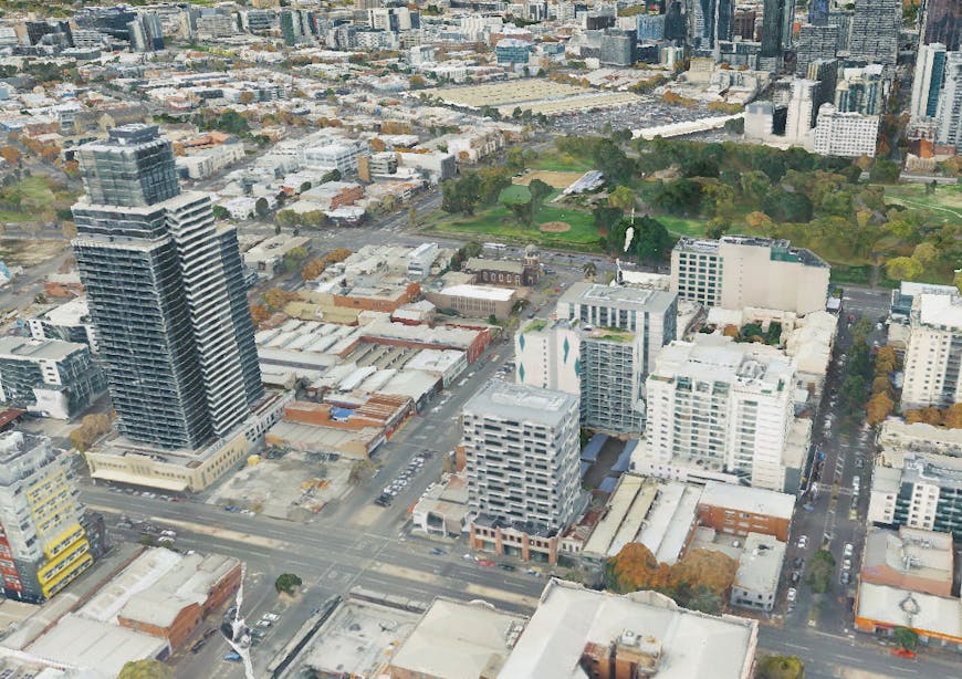
A previous Cesium Ecosystem Grant enabled this team to expand the 3D Tiles ecosystem by providing access to 3D Tiles within QGIS, an open source desktop GIS application with over a million users. This new project will bring a geospatially accurate 3D globe to QGIS, creating the perfect context for 3D Tiles. This fulfills a critical need for QGIS users, enabling access to 3D data at global scale alongside all other standard geospatial layers. This project is the next step toward greater access to 3D geospatial tools in the open source QGIS ecosystem.

Melbourne, Australia, via Cesium ion in QGIS.
YOUTHMAPPERS 3D
Michael Mann, George Washington University
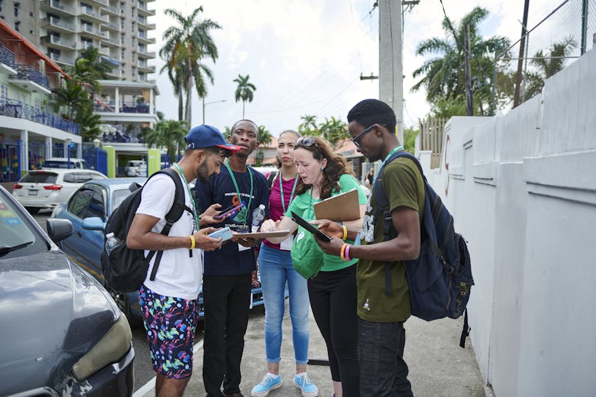
This project, in collaboration with YouthMappers and implemented by The George Washington University, improves community resilience and sustainability by training young people in 3D geospatial technologies. Leveraging YouthMappers' extensive network across 74 countries, the initiative will develop and pilot a comprehensive 3D mapping training program in regions prone to natural disasters. It will champion local community 3D data collection in Open Street Map (OSM), which will bring additional buildings with metadata to the open ecosystem, including Cesium OSM Buildings. The initiative will also train young developers in using this 3D Tiles dataset with Cesium ion and Cesium for Unity to create geospatial projects that respond to local disasters, such as simulating flood impacts in urban areas.

Courtesy YouthMappers.
AEC TRAINING PATH
Yahiya Jassem, VR Division
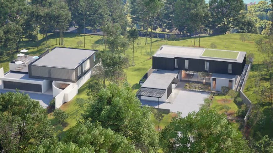
VR Division will create an open training pathway aimed at AEC professionals looking to bring their projects into full 3D geospatial context leveraging Unreal Engine and Cesium. This open training path will take professionals through a real-world scenario where they will develop a virtual city model with detailed geospatial data and interactive elements. Participants will:
- Apply 3D geospatial data to create a contextual environment.
- Develop interactive 3D applications with real-time data updates.
- Optimize projects for performance and visual quality.
VR Division is an Unreal Authorized Training Partner focused on helping architects, designers, and property developers better showcase their work through interactive digital solutions.

Courtesy VR Division.
We’ll share updates on these projects in the coming months. If you have an idea to expand the 3D geospatial ecosystem by increasing interoperability or improving access, submit an application for a Cesium Ecosystem Grant! The application window will open July 1, 2024.