Cesium and National Geospatial-Intelligence Agency Sign CRADA
Cesium and the National Geospatial-Intelligence Agency (NGA) have signed a Cooperative Research and Development Agreement (CRADA) to explore and potentially improve the transmission and use of 3D geospatial data and analysis.

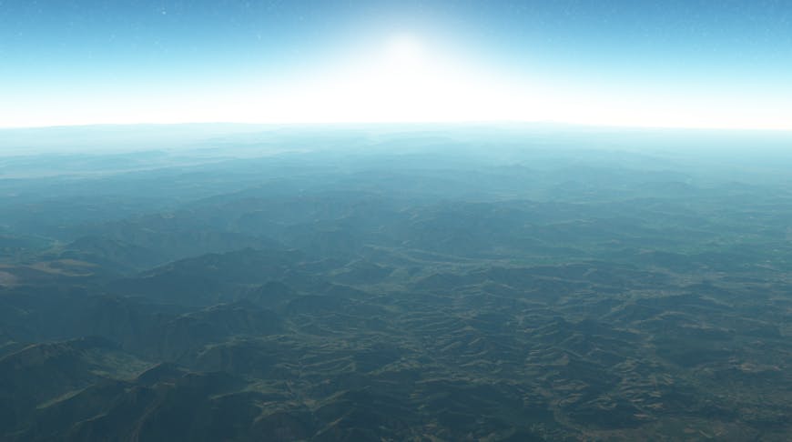
Atmosphere in CesiumJS
A CRADA is a written agreement that allows federal agencies and non-federal partners to optimize their resources and share technical expertise. NGA and Cesium will pursue joint research and development goals that will benefit both organizations under an agreement that poses no additional costs to the government.
"At Cesium we’ve always admired NGA’s ability to collect, analyze, and distribute geospatial data for the DOD/IC. Their forward-looking vision for enhancing the dissemination of interoperable 3D geospatial data is yet another area where NGA is leading the way," said Patrick Cozzi, CEO of Cesium and Principal Investigator on the CRADA. “We look forward to collaborating with NGA to support these efforts, which will serve both industry and government."
NGA, the lead federal agency for GEOINT, delivers geospatial intelligence to policymakers, military service members, intelligence professionals, and first responders. The agency has long used Cesium for Map of the World (MoW), giving users across the Intelligence Community the ability to access and visualize integrated intelligence content in precise geospatial context.
“We look forward to collaborating with Cesium to explore solutions for improving the visual and interactive dissemination of 3D geospatial data to our mission partners,” said Robin Kang, Senior 3D Specialist at NGA and NGA Principal Investigator on the CRADA.
Brady Moore, Cesium’s Director of Mission Support, is Executive Point-of-Contact on the CRADA, which officially started in January 2023. The agreement may last up to five years.
To learn more about how Cesium supports the IC and DOD, visit Cesium Mission Support.