Cesium and AGI Offer Virtual Geospatial Analysis Showcase for GEOINT Community
The GEOINT Symposium may be cancelled, but Cesium and our friends from AGI are offering a free and open-to-the-public virtual event on April 28, 1-3:30 pm EDT. Together, we’ll demonstrate ways to solve geospatial intelligence mission challenges facing the GEOINT community.
Register Now
Check out the schedule for a session that meets your needs:
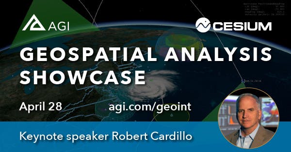
Keynote Address
- Robert Cardillo, former Director, National Geospatial-Intelligence Agency and Cesium adviser.
1:30 PM - Supporting multi-domain operations with STK and Cesium
We’ll demonstrate how to visualize operations in-context and share information in views that support analysis and inquiry.
- Teresa Stritch, Systems Engineering, AGI
- Brady Moore, Director of Mission Support, Cesium
2 PM - Geospatial data server solutions
Out-of-the-box solutions for public domain and on-premises private networks. Walkthrough of using Cesium ion for tiling, rendering, and sharing geospatial data.
- Matt Amato, Lead Developer, Cesium ion Platform, Cesium
- Shannon Schilling, Systems Engineer, AGI
2:30 PM - Building custom geospatial server solutions
Developer tools: using the Cesium ion Engine and STK Components. Learn how to integrate the Cesium ion Engine to build custom server solutions for on-premise tiling and hosting of massive geospatial datasets using 3D Tiles.
- Sam Suhag, 3D Software Developer, Cesium
- John Thompson, Systems Engineer, AGI
3 PM - Cloud-based geospatial analytics
Take your mission scenario from STK and share it on the web with Cesium. Discover how easy it is to combine your scenario with curated 3D data, like 3D buildings.
- Mo Syed, Systems Engineer, AGI
- Omar Shehata, 3D Graphics Programmer, Cesium
Concluding Remarks
- The Honorable Jeffrey K. Harris, USGIF Chairman of the Board.
Busy on the 28th? Register anyway to receive the recorded session.