Recapping FOSS4G NA 2019: Slides, User Stories, and More
We’re back from another great FOSS4G NA. The venue was perfect - right on the marina in San Diego with lots of sunlight and outdoor spaces - and the conversations were even better. A big thank you and congratulations to the organizers and volunteers who seamlessly brought together hundreds of people for informative talks, the chance to meet in person, and an overall incredible event.
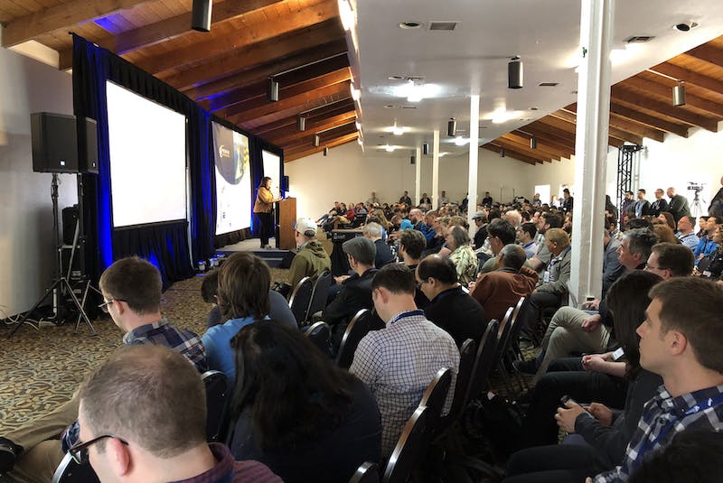
Katie Kowalsky from HERE giving a keynote at FOSS4G NA in San Diego.
Cesium team talks
In 3D: The New Standard for Maps, Omar drew a lot of appreciation for his illustrations of when 2.5D just isn’t enough - and when you can gleam more information from 3D visualizations, such as when analyzing line of sight. Be sure to check out these beautiful sketch notes on the talk by Dr. Michele Tobias.
Omar also shared What’s New and What’s Next for Cesium and 3D Tiles?, highlighting new developments in Cesium like performance and visual improvements as well as updates to 3D Tiles, which is now an OGC community standard.
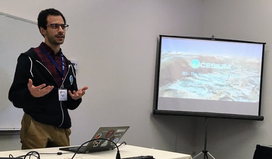
Omar speaking at FOSS4G NA.
My talk on Harnessing the Potential of Drone Data Capture with Cesium covered the data capture work of Trendspek and Propeller, as well as the 3D tiling DroneDeploy uses and the mission planning visualized by OneSky. While we were at the conference we discovered many more organizations who are using Cesium for their drone data, which was very exciting to hear.
Finally Tom spoke about the ways Cesium supports autonomous driving, including how we tile, stream, and visualize the massive datasets generated by autonomous vehicles, used both for playback and for simulations. Check out the slides for his talk, Driving Simulations for Autonomous Vehicles with 3D Tiles and Cesium.
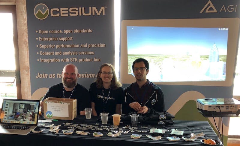
Tom, Sarah, and Omar at the Cesium booth.
Cesium Community
By far my favorite part of the conference was to meet so many Cesium users in person, see how our tools are helping them build incredible apps, and get feedback and input on where we should go next.
Hiroki Inoue and Shinnosuke Komiya of Darwin Education built Resium, an open source project that makes it easier to integrate Cesium and React. During a demo at our booth, they showed off Re:Earth, launching this summer.
Re:Earth will make it easier for for anyone to build 3D maps.
Ravi Nishesh Srivastava of Cyient shared the tools his team has developed with Cesium to support smart cities. The tools improve a host of issues from city planning to flood management. For example, Cyient’s City Planner Tool lets users quickly add and envision a new overpass or apartment building.
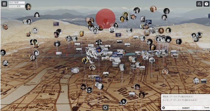
Teresa Stritch of AGI showed an application built to visualize California’s wildfires in realtime, with an array of satellite and weather data. Combining fire location data with high resolution terrain and wind speed can give users a better sense of where fires are and where they’re going.
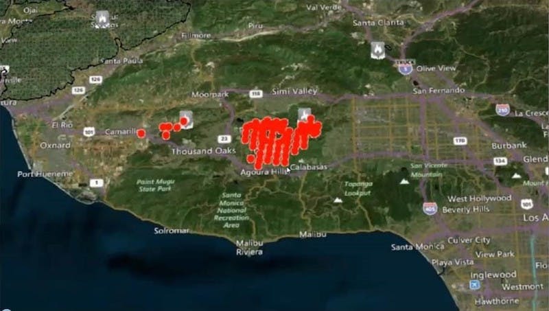
Wildfire application with historical data from 2018 Woolsey fire.
Idan Barak and Omer Koren of Webiks shared how they’re using Cesium to visualize drone data for crop insurance. As longtime members of the Cesium community, they’ve made a number of contributions to Cesium and built a wide array of Cesium applications.
Next year FOSS4G NA is in Calgary—we’ll see you there!