View Hundreds of Layers of Historical Maps of Great Britain with the NLS 3D Map Viewer
The National Library of Scotland makes freely available hundreds of detailed, historic georeferenced map layers through an Explore Georeferenced Maps viewer. These layers are built using MapTiler and presented online using OpenLayers. The geographic focus is on Scotland and Great Britain, and includes detailed Ordnance Survey maps, as well as maps by other publishers dating from the last 250 years. The georeferenced layers are part of a wider Map Images website, which makes available over 220,000 historic maps as zoomable images.
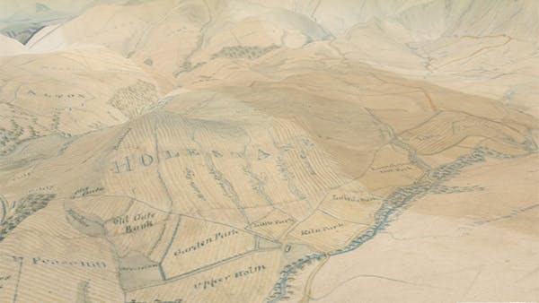
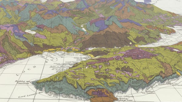
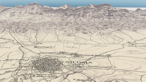
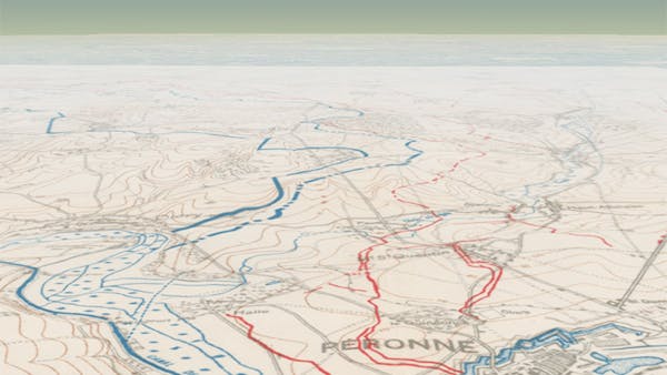
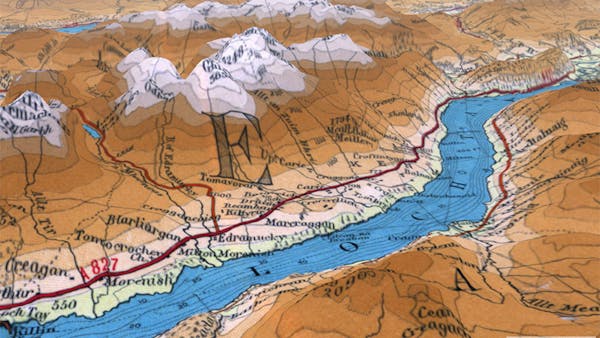
The NLS 3D map viewer takes advantage of the OpenLayers-Cesium integration library. Two Bootstrap sliders are used, first to allow interactive control of historic map overlay opacity (allowing the historic map to be faded to reveal a modern satellite or map image), and second to allow control of vertical exaggeration of relief, through the Cesium Scene terrainExaggeration option. The terrain exaggeration is particularly useful for bringing out more subtle variations in relief.
The standard OpenLayers map tools and options, such as geolocation, gazetteer services, map widgets such as zoom sliders, scalebars, mouseposition, etc., as well as the ability to choose overlays and background layers, have all been transferred across to the 3D Cesium historic map viewer with only slight modification. The viewer uses open-source technology, which has been shared on Github and described with notes in the GeoCart Historical Maps Online Workshop.