Improving Communication between Backcountry Skiers, the Utah Avalanche Center, and Public Safety Agencies
The powder runs in the Wasatch Mountains attract skiers from around the world. Given that the backcountry is at increased risk of avalanches, the Wasatch Backcountry Skiing maps were developed to improve communication between backcountry skiers, the Utah Avalanche Center, and public safety agencies.
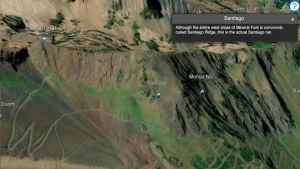
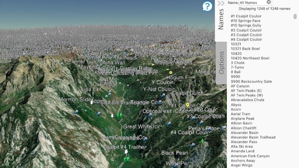
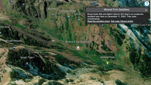
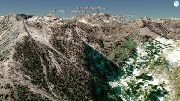
Available both in print and online in 3D, the map publishes commonly used names of more than 1,100 backcountry skiing locations. The names were collected from a number of maps and guides as well as interviews with backcountry experts.
The app, originally built on Google Earth, migrated to CesiumJS and is available on desktop and mobile. The interactive map allows users to explore the high resolution 3D terrain or search a list of location names. Each site includes the latitude and longitude, as well as alternative names. The app makes it easy to link to locations so skiiers can share where they plan to go. The app also provides quick links to avalanche advisories and weather information.