Millimeter Precision Point Clouds with Cesium and 3D Tiles
Terrestrial 3D laser scanners are used in construction, mining, civil engineering, and other fields to collect high-resolutions 3D scans of an environment.
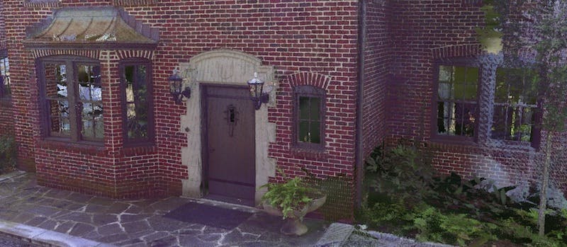
Working with data from Trimble, we are simply amazed by the millimeter-precision point clouds captured by their scanners such the Trimble TX8 3D Laser Scanner. As seen below in Cesium, the house looks like a photograph!
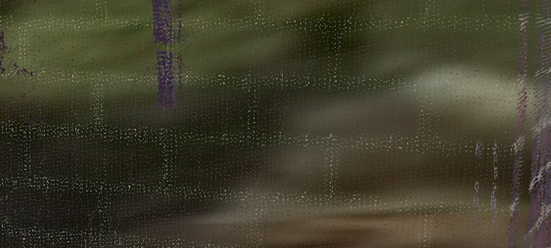
Zooming in close to the mortar in between the bricks, there are lots of point samples in the mortar alone. With point clouds this detailed, point size attenuation can actually hide the exactness by blurring out detail and amplifying outliers.
Cesium ion’s 3D tiling pipeline is used to efficiently tile these massive point cloud into 3D Tiles so they can be streamed into the CesiumJS viewer on a laptop or mobile device for visualization and analysis in your web browser.
Trimble’s data extends beyond point clouds, including photogrammetry models, SketchUp 3D models, and terrain. This maps perfectly to Cesium and 3D Tiles’s support for massive heterogeneous 3D geospatial datasets.
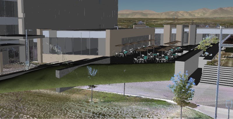
The scene below fuses a point cloud scan of the Trimble building in Westminster, Colorado, with a SketchUp 3D model of Trimble’s new building, along with the laser scanner that captured the point cloud.
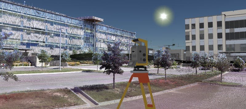
Combined with Microsoft Bing imagery and Cesium World Terrain served via Cesium ion, the screenshot below shows this with the Rocky Mountains in the distance.
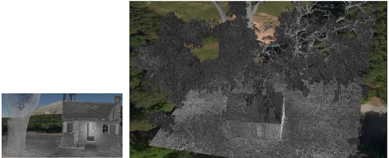
Trimble’s 3D laser scanners also capture highly irregular environments such as the diverging tree branches in the Cabin scene below. Cesium ion’s 3D tiling pipeline uses adaptive subdivision so that point clouds are tiled into an efficient 3D tileset for streaming regardless of the point distribution; irregular point clouds like this stream efficiently even on a phone.
If you are collecting point clouds, photogrammetry, 3D models, or other geospatial data, send me a note to see how you could utilize Cesium and 3D Tiles.