Cambridge in 3D
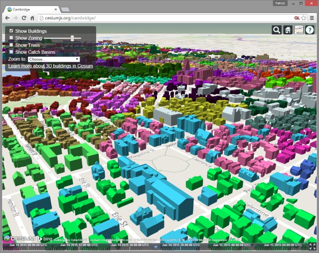
In April, we announced plans for 3D buildings in Cesium. Today, we're happy to share a demo of the City of Cambridge:
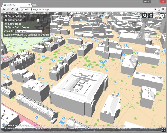
Harvard Yard in Cesium.
This demo uses several datasets:
- Over 20,000 measurement-quality buildings with rooftops from CyberCity 3D.
- Zoning, trees, and catch basin layers from the Cambridge GIS department.
- Base layer map with roads and labels from Bing Maps.
The 20,000 buildings stream in based on the current view, and are individually selectable. When a building is selected, the CyberCity and Bing REST APIs are queried to display metadata. For example, here is City Hall:
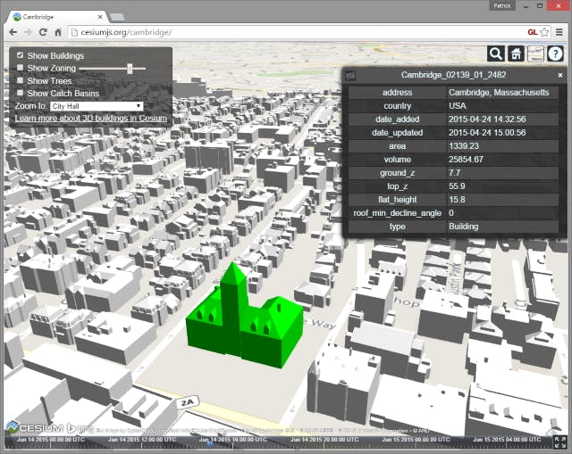
Cambridge City Hall.
Some of my other favorite views include the MIT Campus and Central Square.
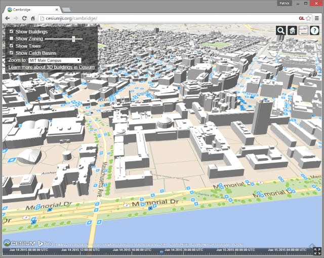
The MIT campus along the Charles River with the Barker Engineering Library in the center. Like the buildings, the trees and catch basins are also individually selectable.
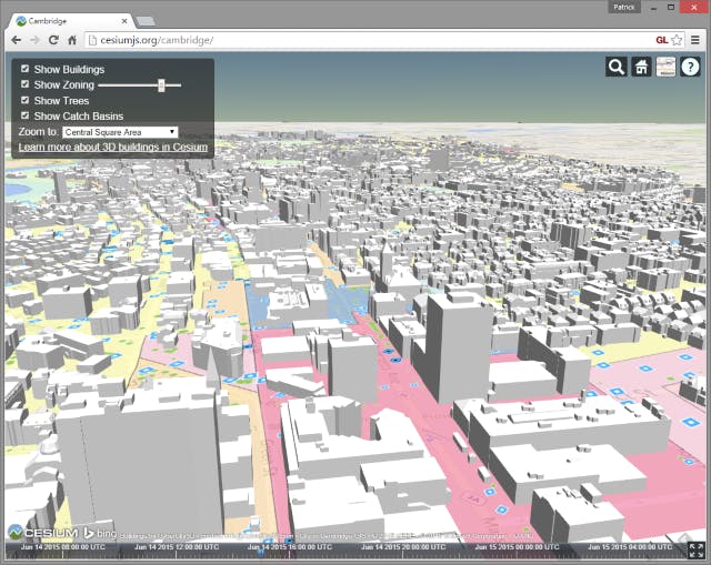
Looking west from Central Square.
Tech Details and Future Plans
The buildings are streamed using Binary glTF, which was released in Cesium 1.10. Buildings are grouped together into tiles to reduce the number of network requests and WebGL draw calls.
Buildings colored by tile.
Instead of using a traditional quadtree, tiles are adaptively subdivided to take into account the non-uniform distribution of buildings.
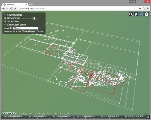
Tile bounding boxes. Note the high detail in the southeast, and the low detail in the northwest, based on the current view.
Tile bounding boxes. Note the high detail in the southeast, and the low detail in the northwest, based on the current view.
Our next step is to stream the 135,000 buildings in CyberCity's Washington D.C. dataset!
Share your thoughts in the 3D buildings discussion on the Cesium forum.