
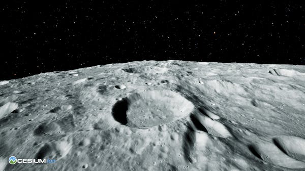
Cesium Moon visualized in Cesium for Unreal
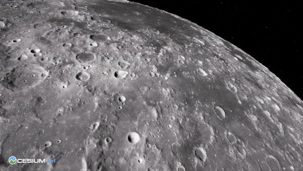
Cesium Moon visualized in Cesium for Unreal
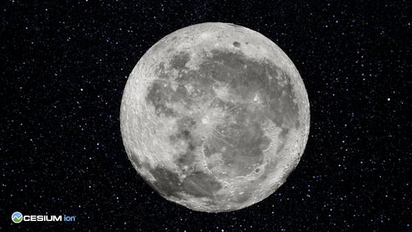
Cesium Moon visualized in Cesium for Unreal
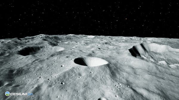
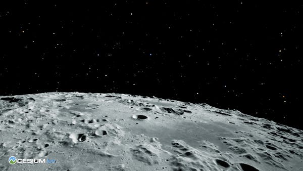
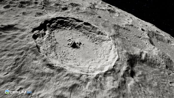
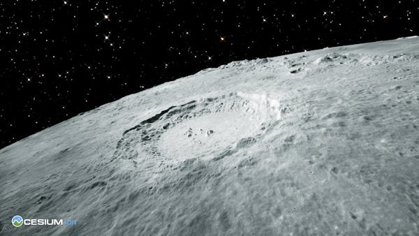
The First Complete, Accurate, and Readily Accessible 3D Dataset of the Moon
Cesium Moon is complete 3D Tiles of the lunar surface that enables 3D visualizations, simulations, and analytics to support advanced digital twin creation. Cesium Moon combines multiple datasets available from NASA’s Lunar Reconnaissance Orbiter (LRO) into a single tileset with the highest resolution data located around the critical polar regions of the Moon.