2026 Cesium Developer Conference Session Recordings Now Available
Written by  Danny Williams,
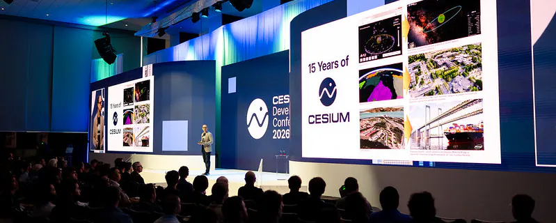
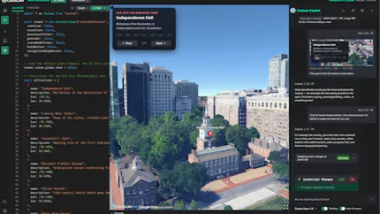
In June, the global 3D geospatial community gathered in Philadelphia for the 2026 Cesium Developer Conference. Over three days, hundreds of developers, creators, and open-source advocates from 18 countries came together to exchange ideas, tackle real-world challenges, and build the future of 3D geospatial technology.
In Events
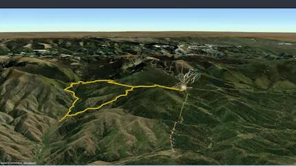
RikiTraki’s Hiking Tracks on the Web Evolve Alongside CesiumJS
Written by Sarah Chow,
In CesiumJS, Cesium ion, User Stories
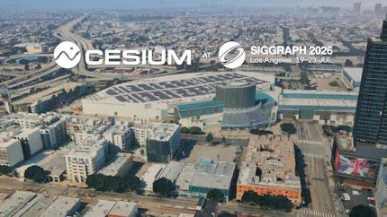
Cesium at SIGGRAPH 2026
Written by Daniel Zhong,
In 3D Tiles, Community, Events, Open Standards
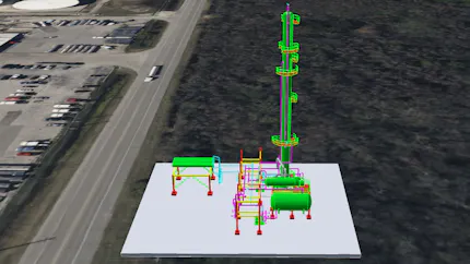
Introducing CAD-Style Workflow Extensions for glTF and 3D Tiles 2.0
Written by Mark Schlosser, Erin Ingram, and Daniel Zhong,
In 3D Tiles, AEC, Technical, CesiumJS

Cesium Brings 3D Geospatial Expertise to New Joint Tokyo Office with Bentley and Seequent
Written by Mizuki Kobayashi,
In Community, News
Introducing CesiumJS Sandcastle Copilot
Written by Justin Dehorty,
In CesiumJS, Technical
Cesium Releases in July 2026
Written by Gabby Getz,
In 3D Tiles, Cesium for Unreal, Cesium ion Self-Hosted, Cesium ion, Cesium for Unity, Cesium Release Roundup, CesiumJS, Cesium for Omniverse, Cesium Native