V2i Using Cesium for Unreal to Visualize and Improve the Property Development Process
Communicating the plans and outcomes for property developments can be surprisingly challenging. While developers and their consultant teams create and understand the detailed site plans and drawings they need to work from, these technical 2D documents often don’t provide information in a way that investors, local government, and neighbors need to understand a proposed project.
V2i uses Cesium for Unreal to communicate development plans in a dynamic, 3D environment.
V2i is aiming to change all that with Cesium. Whereas most development decisions are currently made based on static 2D descriptions in a process that too often leads to misunderstandings and frustration, V2i seeks to present these concepts using a common visual language in an immersive, 3D, real time world so everyone can easily understand an outcome, ask relevant questions, and make informed decisions faster.
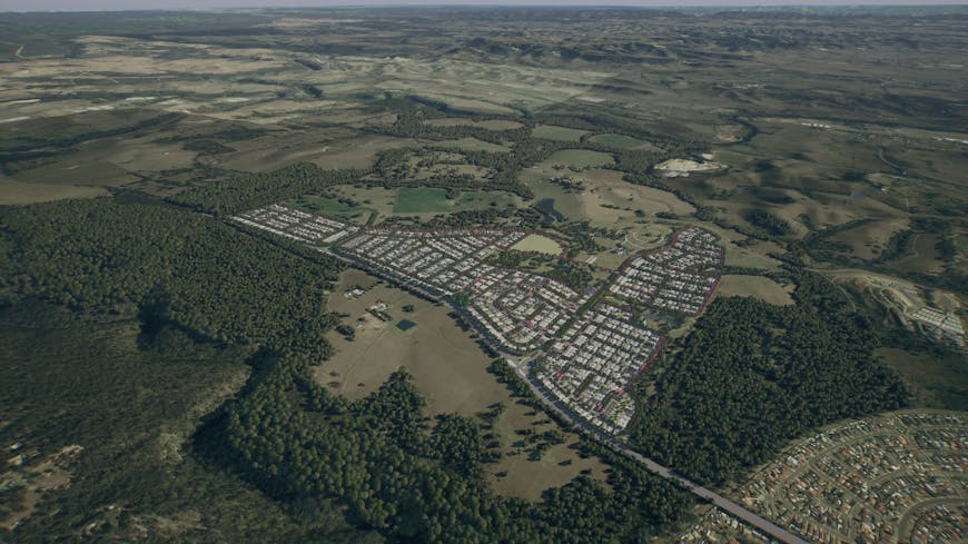
Using Cesium for Unreal, V2i creates custom visualizations of planned development projects in Unreal Engine.
Using Cesium for Unreal, V2i creates 3D visualizations of planned development projects. Rather than waiting to create a beautiful rendering until after all of the design work has been done, they’re striving to present a vision of the outcome from the very beginning. Their work is part of the global digital transformation in AEC, as the industry moves toward embracing visual literacy and a common visual language.
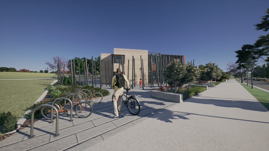
Rather than waiting to create a beautiful rendering until after all of the design work has been done, V2i is making property development 3D from day one.
V2i’s visualizations and project outcomes are detailed and immersive. Using high resolution photogrammetry data of the existing area, together with sketches and CAD drawings, they create custom visualizations and targeted solutions of planned projects. By bringing in Cesium World Terrain from Cesium ion, they’re able to place planned developments in the correct space so that all of the visualizations appear on the actual site. This accuracy allows them to do analysis of the development on the fly, such as shadow analysis.
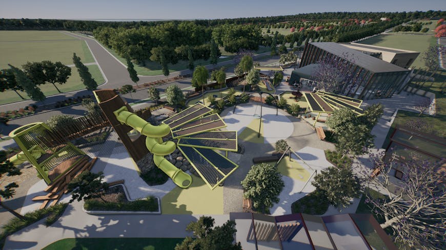
By presenting design concepts with a common visual language, V2i makes it easier for anyone to easily understand the planned outcome.
They also take advantage of many of the rendering possibilities in Unreal Engine to give a better sense of realism: they place bikes on bike paths, waves in the ocean, and even pelicans along the waterfront. With the 3D environment based in the cloud, project leaders can share a proposal with their stakeholders, even on mobile, in an intuitive environment.
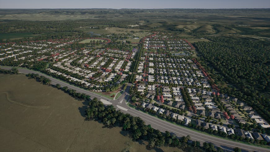
With Cesium World Terrain in Cesium for Unreal, V2i can place development projects in their accurate, real-world location.
There’s another advantage to using Cesium for Unreal: global context. The global scale available through Cesium for Unreal means that if the government is planning a new highway, it can view the entire length, across any terrain, in a single application. Or an energy company with holdings around the world can view all of its sites in a single place. That global picture is possible only with Cesium.
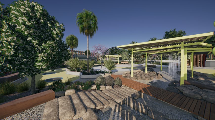
Cesium for Unreal is an important element of Unreal Engine's AEC ecosystem, bringing the real world to design concepts.
V2i’s vision is to make development projects and the process more equitable and meaningful by making it more accessible. That means breaking down data silos and bringing different data formats about planned projects together into an interactive, intuitive space that is accurate and 3D from day one in an output that anyone can access and understand.
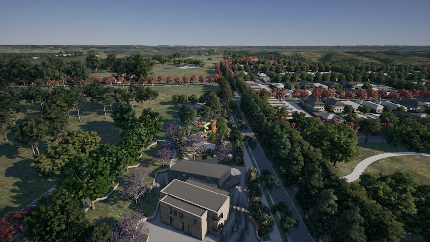
Bringing better visualization tools to the beginning of the development process and improve decisions, reduce changes, and speed up consensus.
To get started with real world terrain for your own AEC application in Unreal Engine, check out our Cesium for Unreal Quickstart Guide.