LUUCY Providing Better Urban Planning and Site Development with CesiumJS
LUUCY is offering tools built on CesiumJS for urban development and city planning with a focus on Switzerland. Development in urban areas can be complex, with many stakeholders of diverse backgrounds.
With Cesium, LUUCY provides greater transparency from planning to realization so all stakeholders, whether investors, business owners, construction teams, or government officials, can collaborate on future development projects.
Sketches created in the app allow stakeholders to quickly explore a proposed development from all angles. These are intended for early in the development process, and not as a replacement to a CAD program.
LUUCY is meant to be used at a preliminary stage of planning as several variants of a feasibility study can be easily sketched within a few minutes. These visualizations are meant to inspire the imagination, support communication, and aid in the decision-making process.
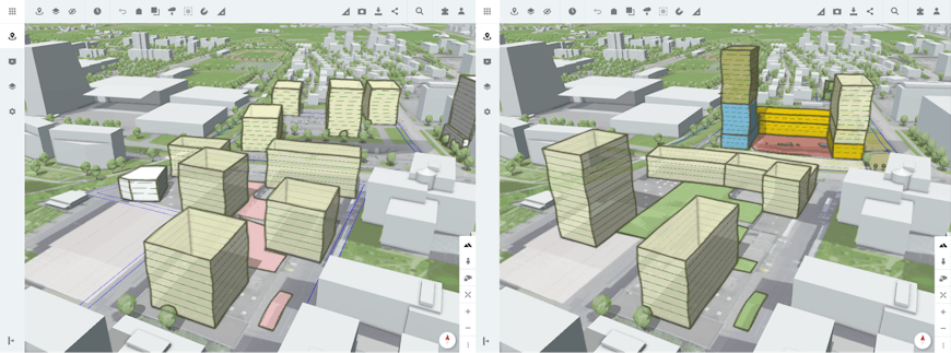
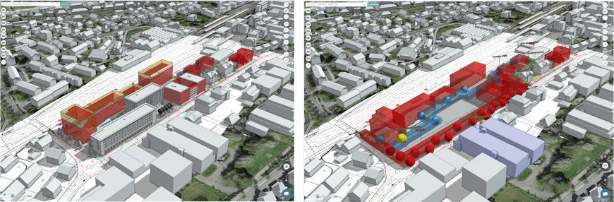
Proposing alternate designs for a development area in the optional sketch shading mode. Users can model different buildings with many variations and compare them on the fly both visually and statistically.
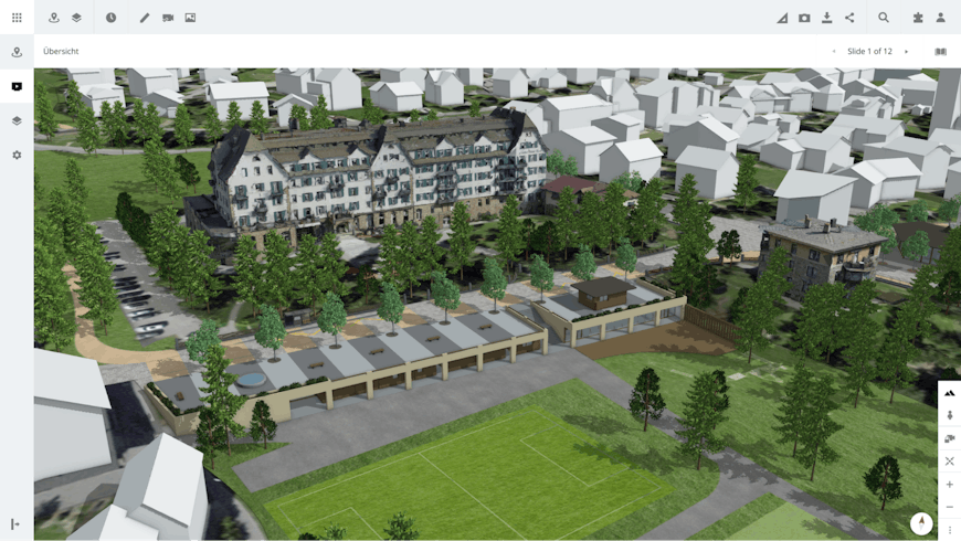
Users can also create presentations to share with other stakeholders. LUUCY automatically flies to the individual locations of the slides and switches the desired layers on or off, not requiring the user to know how to navigate a 3D environment.
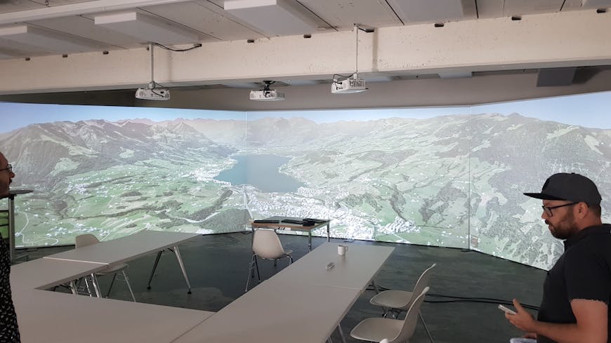
LUUCY is designed for interactive views from any device and for large multi-screen presentations to invite comment on planned development.
The core of the app is a 3D model of the real world with representative buildings, topography, and vegetation.
The flexibility of the Cesium framework allows for a wide variety of different and highly detailed data to be visualized at the same time, with good performance.
Beginning with that canvas, users create their own building sketches with simplified modeling tools and can connect to external data services, including Cesium ion assets, web map services, or self-hosted content. Upload functionality offers integration of detailed BIM models, GIS datasets, or site plans. If a dataset is not georeferenced, the user can place it with the built-in Georeferencer App, powered by MapTiler.
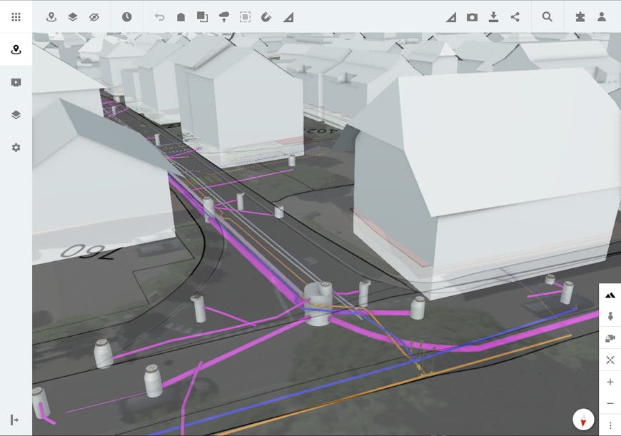
Providers can integrate many different data types thanks to Cesium's versatility, including detailed underground structures.
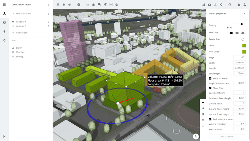
Existing buildings, trees, or other objects can be hidden so users can construct their own buildings or volumes on already developed plots. Custom-built shaders like high-quality screen space ambient occlusion and custom edge shaders also enhance the display possibilities and quality.
With the open source API, LUUCY can be extended with integrations such as construction cost estimates in early design stages.
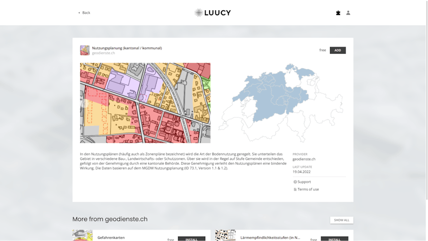
In the LUUCY marketplace, apps, maps, and 3D data are ready to be integrated into users’ workspaces with just a few clicks.
By making it easier to visually communicate proposed designs, LUUCY makes it easier to explore all aspects of proposed development, including mobility, ecology, energy efficiency, and public spaces.
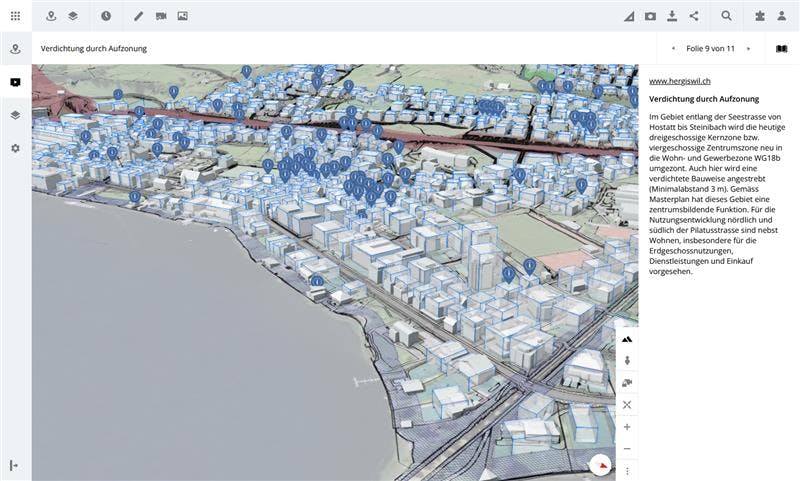
Public presentation of visualization of zoning parameters.
By giving users tools to quickly view, sketch, and share 3D datasets, LUUCY is using Cesium to improve workflows and decision making. To get started building your own CesiumJS app, sign up for a free Cesium ion account.