Cesium Release Roundup October 2020
Every month we update Cesium OSM Building with the latest community contributions to OSM Buildings. This building dataset, our newest global baselayer, includes per-building metadata that can be styled and filtered for additional insights. We’ve updated the 3D Tiles Styling example in Sandcastle to show how to style Cesium OSM Buildings with useful examples such as coloring by building material, showing only apartment or residential buildings, etc.
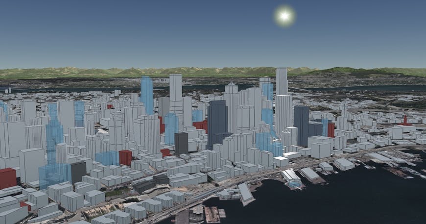
Cesium OSM Buildings in Seattle, Washington, colored by building material if known, e.g., brick, concrete, steel.
Let us know on the community forum how you’re using interactive 3D Tiles styling to better understand your data.
Cesium ion updates
It’s easier than ever to use Cesium as part of your normal workflow: more and more platforms are adding integrations to ion, including Safe FME, Blender, 3ds Max, and Reality Capture. Check our integrations page for a more complete list.
Don’t see your favorite tool? Follow our integration guide to connect your tools with Cesium ion so your users can easily share their 3D data in a geospatial context.
Norwich Castle, generated in RealityCapture and visualized with Cesium. RealityCapturenow supportsuploading models to Cesium ion. Data captured by ©Jasper Mink, ©Terradrone Europe.
CesiumJS 1.74 release
CesiumJS 1.74 is now available. Highlights of this release include:
- Fixed an issue where the camera zooming is stuck when looking up. #9126
- Fixed clipping planes with non-uniform scale. #9135
- Fixed an issue where ground primitives would get clipped at certain camera angles. #9114
- Fixed a bug that could cause half of the globe to disappear when setting the terrainProvider. #9161
- Fixed a crash when loading Cesium OSM buildings with shadows enabled. #9172
See the changelog for a full list of updates and links to the discussion & code on each one.
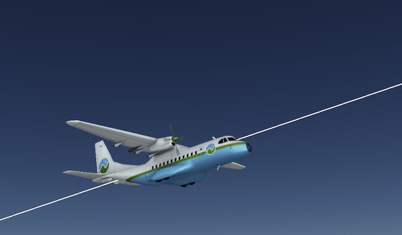
Build your own flight tracker
This month we added some great new resources to our learning materials, including a tutorial on how to build your own flight tracker, using real data from Flightradar24.
In just a few steps, you’ll set up and deploy your Cesium app on the web, add base layers of global 3D buildings, terrain, and imagery, and accurately visualize an airplane from a list of positions over time.
This is a great introduction to creating interactive 3D apps that visualize time dynamic data. We’d love to see what you’re building!