Cesium and Esri Collaborate on Cesium ArcGIS Terrain Support
We’ve collaborated with Esri to enhance the 3D geospatial ecosystem by increasing compatibility between the Cesium and Esri platforms. You can now bring elevation tiles from an ArcGIS Image Service and load them as terrain in the same CesiumJS application as your photogrammetry, 3D buildings, and BIM and CAD models—all streamed as 3D Tiles.

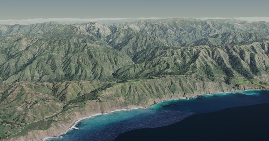
Great view of the terrain at Big Sur from Esri’s public ArcGIS Image Service.
This type of interoperability has always been a core value at Cesium, so we’re glad to be able to bring Esri’s terrain into Cesium’s web-based time-dynamic vision. This integration provides one more way to see all of your data in one environment, allowing users to combine, share, and analyze their datasets quickly and efficiently in Cesium regardless of where the data comes from.
"We’ve been happy to work with the Cesium team because we understand that our customers require a variety of client technologies to access their system of record geospatial information. We want to encourage a healthy ecosystem of developers across the industry accessing and consuming data directly from the ArcGIS platform and elsewhere. We couldn’t find better collaborators to work with on CesiumJS than the Cesium team itself."
Chris Andrews
Group Product Manager at Esri
Here is a code sample that loads terrain from a publicly available server hosted by Esri:
var viewer = new Cesium.Viewer('cesiumContainer', {
    terrainProvider : new Cesium.ArcGISTiledElevationTerrainProvider({
        url: 'https://elevation3d.arcgis.com/arcgis/rest/services/WorldElevation3D/Terrain3D/ImageServer'
    })
});

viewer.camera.setView({
    destination: Cesium.Cartesian3.fromDegrees(-121.82283810552254, 36.20978697451458, 2830.3061574691405),
    orientation: {
        heading: Cesium.Math.toRadians(57.53812991892656),
        pitch: Cesium.Math.toRadians(-19.74361760510513),
        roll: Cesium.Math.toRadians(0.164340324995592)
    }
});
Update to CesiumJS 1.59 when it’s released July 1 to try it out!