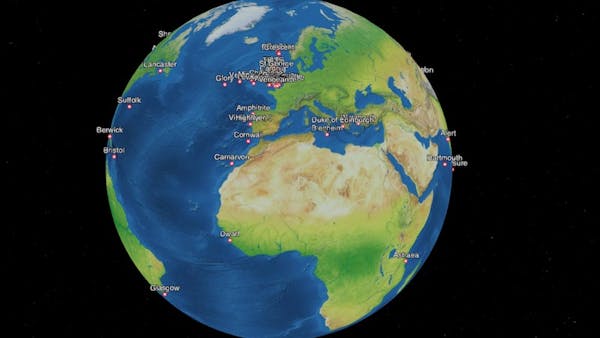
Where Were They? Tracking World War I Voyages of Royal Navy Vessels
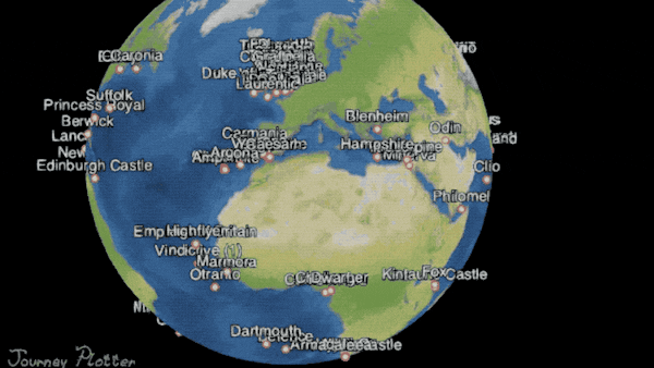
Journey Plotter is an application for visualizing journeys of Royal Navy vessels of the World War I-era and Arctic voyages of United States vessels from the mid 19th century onwards.
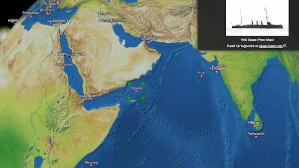
For a given day, users can see the ship’s position and read the logbook entries that describe activities on board. The logbooks have been transcribed by volunteers on the Old Weather project and edited into a more readable form by volunteers on the naval-history.net project.
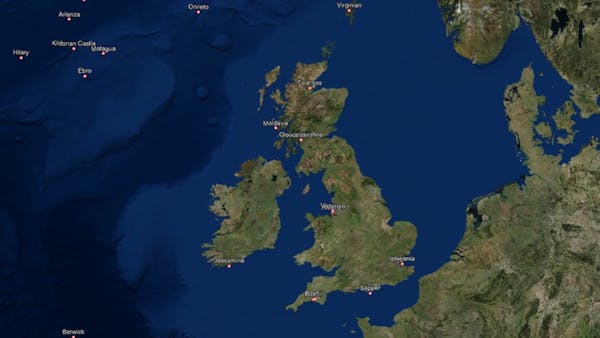
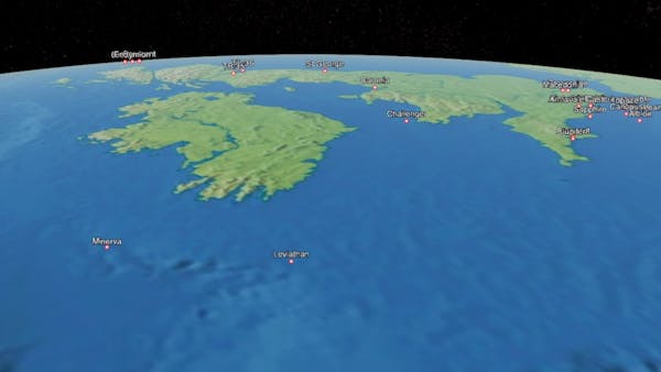
Where Were They? uses CesiumJS to show the positions of Royal Navy ships throughout World War I. The ships are animated, allowing visitors to view the movements of the ships around the globe and see that this was truly a global war, and that the battle wasn’t only fought in the trenches of Belgium and France.
The ship positions come from a CZML file containing the noon positions for the hundreds of vessels. To reduce file size, the points and labels for the ships are generated dynamically after loading the CZML file. The Cesium Viewer widget was adapted for the site, including a revised animation widget and a geocoder that searches for ship names.