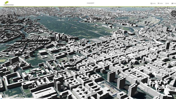
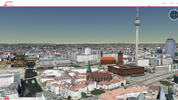
Publish 3D city maps from CityGML with 3D Tiles with virtualcityMAP
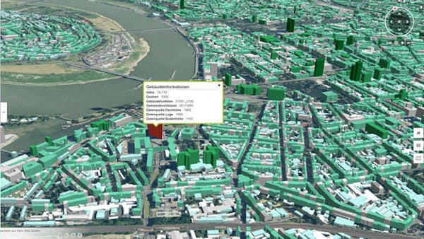
virtualcitySYSTEMS products are built on CesiumJS and 3D Tiles. They’ve wrapped CesiumJS and OpenLayers into the virtualcityMAP mapping framework, which enables users to view 3D city models, massive point clouds, oblique imagery, and 2D data in one web application. With virtualcityMAP, users have visualized CityGML objects, LiDAR point clouds, digital elevation models, raster data, Web Map Services (WMS), and Web Feature Services (WFS).
Their virtualcityPUBLISHER software is an authoring system to create 2D, 3D, and oblique viewer applications. Users can convert their input data into streaming formats, e.g., Cesium quantized mesh, 3D Tiles, TMS caches, and then compose mapping applications by adding layers, functions, layout, etc.
virtualcitySYSTEMS services also include creating custom web applications for customers using their geodata, which they host with Amazon Web Services for stremaing on any device.
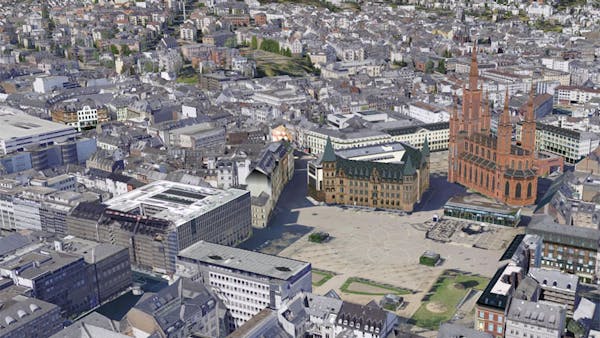
For examples, check out the customer projects in their demos gallery.