Create 3D Models from Data Captured by Drones with Sputnik Web
Sputnik Web, created by Geoscan, is a GIS application powered by Cesium that allows users to visualize 3D models of data captured with UAVs. Sputnik Web automatically creates 3D models from georeferenced photos taken by drones and other UAVs. Processing is done with Agisoft PhotoScan. There’s no limit to the file size, allowing highly detailed models.
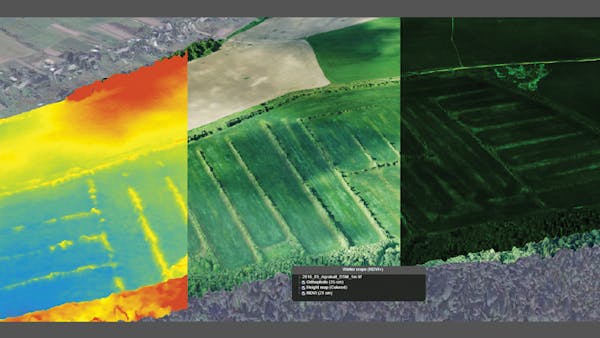
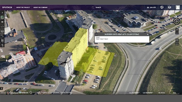
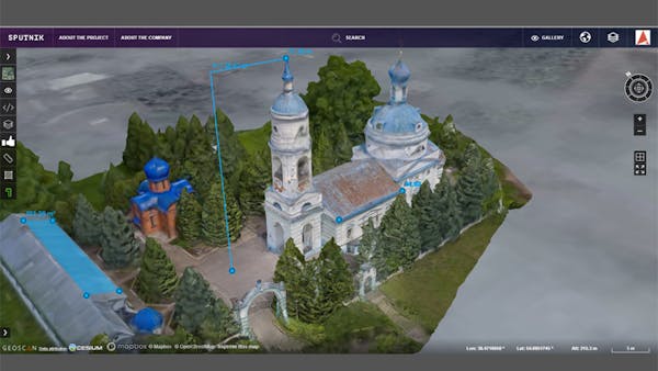
Users can also upload KML/KMZ, GeoTIFF, SHP, PJR and TLS files, as well as data from WMS/WMTS servers. Sputnik Web can represent any uploaded data as layers over a single location and includes measurement capabilities for height, length, area, and volume. Users can make their visualizations private or shared, and can embed visualizations in other web pages.
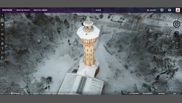
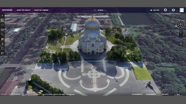
Check out the examples on Sputnik Web, including Saint Petri Church in Sweden and Vyborg Castle in Russia.