Using MapGuide with Cesium to Display Buildings from the City of Nanaimo
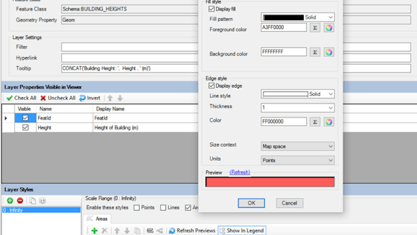
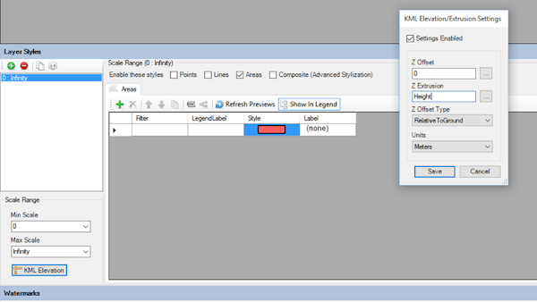
Gordon Luckett of ArrowGeomatics has done multiple projects integrating databases with Cesium using MapGuide Open Source. With Cesium, one is able to stream any datasource, including SHP, SHF, SQLite, Oracle Spatial, SQL Server Spatial, and PostGIS data. The data is streamed from the MapGuide web server. This server, using a client called MapGuide Maestro, enables developers to connect to the data of their choice and create a styled layer to add to Cesium.
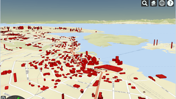
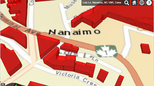
For example, using MapGuide and mapguide-rest, ArrowGeomatics added a layer of buildings in Nanaimo, Canada, to Cesium. The CZML was directly streamed from a 2D + height shapefile. Check out the demo at Arrow Geomatics Inc., Nanaimo Cesium Demo.
At FOSS4G NA 2015, Gordon Luckett spoke about “Connecting MapGuide to CesiumJS”. Watch the talk here: