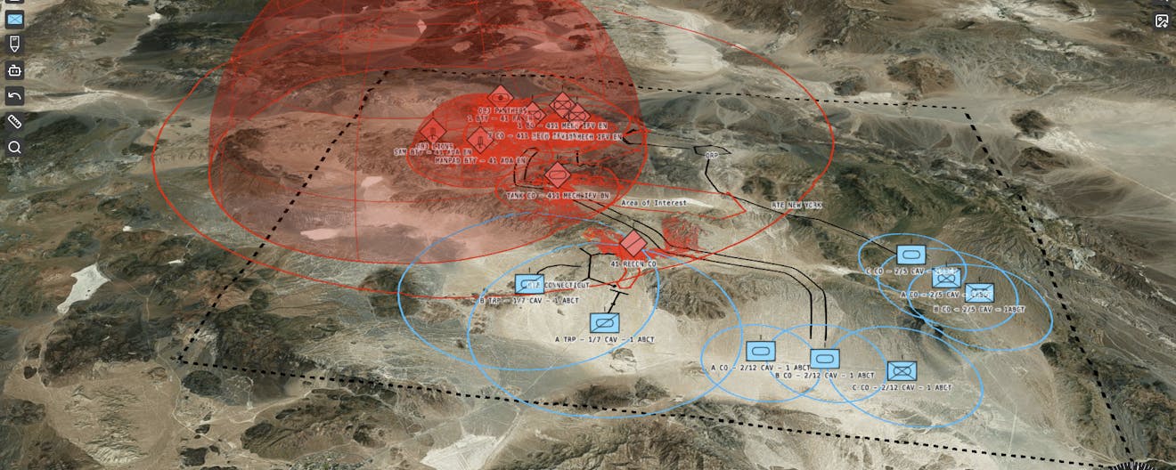
Sandtable Modernizes and Synchronizes Military Planning with Cesium
Written by  Monica Witzig-Wamsley,
Over the last 20 years, technology and the nature of conflict have changed more rapidly than US defense policies and military procedures. To modernize and synchronize operational-level planning, Sandtable uses CesiumJS, Cesium for Unity, and Cesium ion to combine traditional military planning documents and immersive geospatial context.
In Certified Developer, 3D Tiles, User Stories, Cesium ion Self-Hosted, Cesium ion, Cesium for Unity, CesiumJS, Federal & Defense
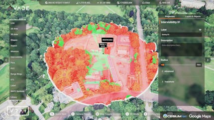
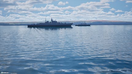
VRAI Delivers Virtual All-Domain Environment with Cesium for Unreal
Written by Monica Witzig-Wamsley,
In Drones, AR/VR, Modeling & Simulation, 3D Tiles, Cesium for Unreal, User Stories, Cesium ion, Federal & Defense
Cesium at I/ITSEC 2025
Written by Trent Tinker,
In Modeling & Simulation, 3D Tiles, News, Federal & Defense
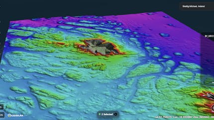
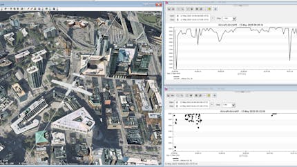
Terradepth Processes Seafloor Data at the Edge with Cesium ion Self-Hosted
Written by Monica Witzig-Wamsley,
In 3D Tiles, User Stories, Cesium ion Self-Hosted, CesiumJS, Underground & Undersea, Federal & Defense
Warfighting, Software, and the OTA
Written by Susan Farley,
In User Stories, CesiumJS, Open Standards, Open Source, Federal & Defense
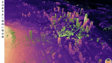
Hobu's Eptium Visualizes Country-Scale Point Clouds with CesiumJS
Written by Chris Andrews,
In 3D Tiles, User Stories, Cesium ion, CesiumJS, Aerospace, Federal & Defense
Ansys Uses Cesium ion Self-Hosted for Geospatial Data Cloud
Written by Monica Witzig-Wamsley,
In Modeling & Simulation, 3D Tiles, User Stories, Cesium ion Self-Hosted, Integrations, Aerospace, Federal & Defense