Cesium Powers Camptocamp’s Geo Challenge Game
Last month Camptocamp released Geo Challenge, a browser-based game built on CesiumJS that challenges users to identify randomly selected locations in Switzerland, France, or Germany.
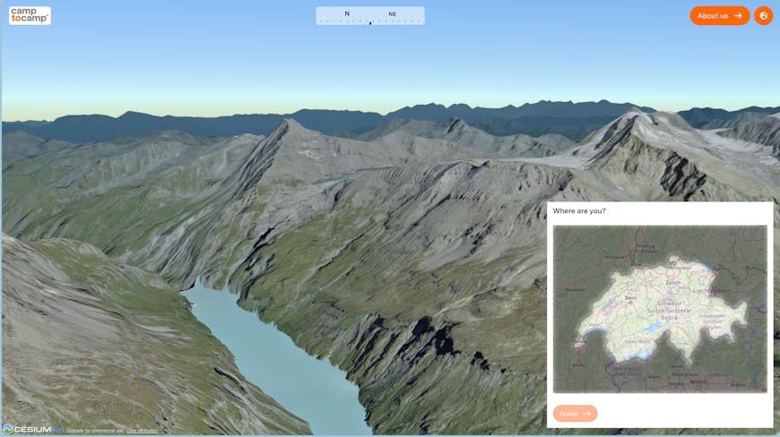
Geo Challenge awards players points based on how close their guesses are to a 3D view’s actual location. Courtesy Camptocamp.
The game uses high precision datasets—swisstopo’s high‑resolution topographic data for Switzerland and Google Photorealistic 3D Tiles served by Cesium ion for France and Germany. The game is purely for fun, but the simple interface belies the sophistication of the massive datasets, 3D tiling pipelines, and geospatial rendering that make it possible. By using CesiumJS, Camptocamp transforms complex 3D data engineering into a playful, interactive experience that invites users to feel the value of high-precision geospatial data.
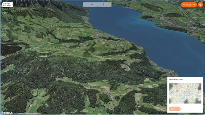
In Switzerland, Geo Challenge uses swisstopo’s high-resolution datasets, rendering every peak and valley of the country. Courtesy Camptocamp.
Camptocamp shares Cesium’s commitment to open, collaborative technology and has extensive experience building with CesiumJS. A decade ago they worked with Switzerland’s Federal Office of Topography, swisstopo, to build an interactive 3D map of the entire country using CesiumJS. They were also an early adopter of Cesium’s subsurface rendering capabilities, used to show geological features below ground. Camptocamp is a Cesium Certified Developer organization, and they continue to provide geospatial services for companies and governments in Europe.
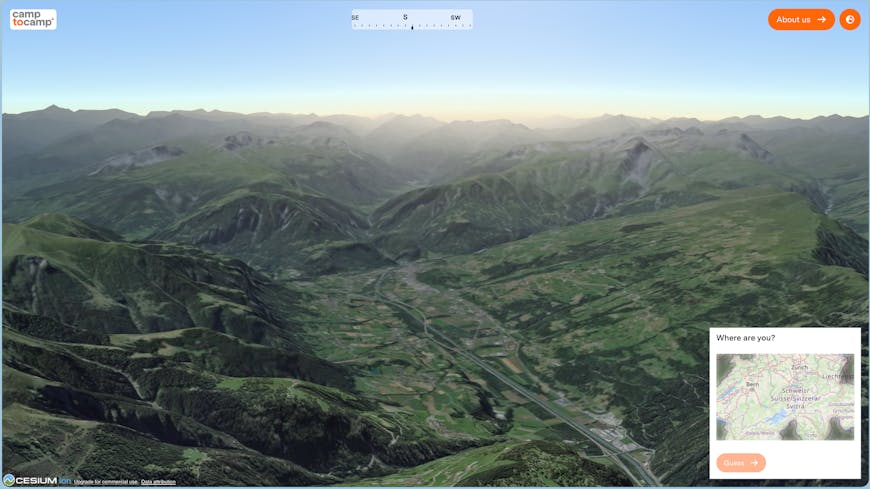
The Swiss players in particular are intensely competitive (and very good!), with many players having near perfect scores. Courtesy Camptocamp.
To see what experiences you can create with 3D geospatial data, try out CesiumJS.