Speaker Series: Matt Amato Joins Temple University GIS Day
Last Wednesday Matt Amato joined faculty and other geospatial professionals at Temple University for GIS Day. Speakers met with Temple students, faculty, and staff to discuss how linking location and information through geospatial applications can support public policy.
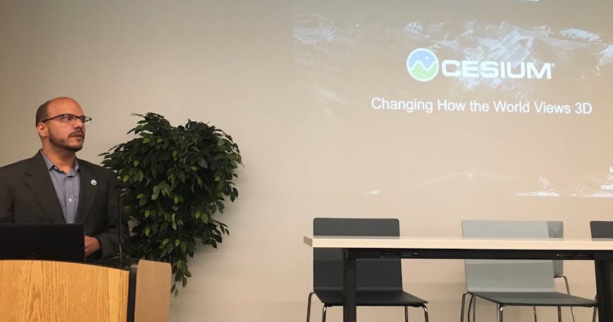
Matt Amato speaking at Temple University GIS Day. “3D is not 2D + 1.” Image courtesy Temple University Department of Geography and Urban Studies.
The speakers shared their work on a wide range of topics. David Tulloch of Rutgers delivered a keynote on how GIS has shaped public policy and vice versa. The speaker lineup included—to name just a few—Marcus Bingenheimer; Hayley Wight; and Bari Dzomba.
Matt spoke about the proliferation of 3D data:
“Modern geospatial data is 3D because the world is 3D!”
Industries like autonomous driving, aerospace and defense, and real estate are collecting vast amounts of 3D data; the challenge is effectively using that data. Matt explained that we built Cesium to make it possible to visualize, analyze, and share big 3D data:
- Our 3D content pipeline takes big, heterogenous datasets and turns them into bite-sized pieces that can be streamed over the web.
- This data can then be visualized in CesiumJS and other clients that implement the 3D Tiles standard.
- You can then perform various kind of analyses, many of which use modern hardware accelerated algorithms that work in real-time.
- We also curate content, such Cesium World Terrain, a global high-resolution terrain dataset available to all Cesium users.
- And this is all possible through the creation of open standards such as 3D Tiles. At Cesium we prevent vendor lock-in by using open standards where they exist and creating them where they don’t.
These tools, built from the ground up for 3D, make it possible to solve problems where understanding all the dimensions is important.
“3D is about more than just pretty pictures. … It just so happens that the world is a beautiful place. This image may look like a photograph, but it’s actually a photogrammetry screenshot from CesiumJS, with 50 cm resolution terrain and 25 cm imagery.”
We were happy to participate with the many great speakers and students for GIS day. A big thank you to Temple University Department of Geography and Urban Studies and to Jeremy Mennis, who chaired the GIS Day Organizing Committee, for making this happen!