Visualize Turkey's Most Visited Tourist Town with 3D Tiles
Çeşme 3D City Model was developed by Mehmet Büyükdemircioğlu for his MSc thesis, “Implementation and Web-based Visualization of 3D City Models,” which he wrote while studying at Hacettepe University Geomatics Engineering in Turkey.
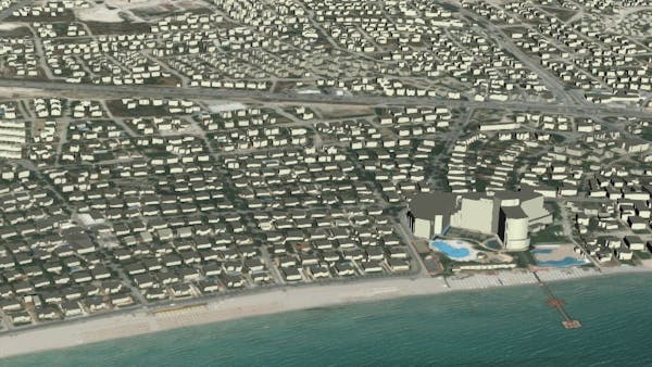
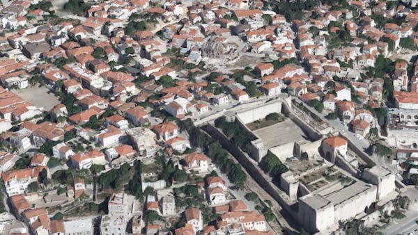
The aim of the project was to reconstruct a 3D city model of Çeşme using high-resolution aerial photographs and to create a web-based visualization. Çeşme is the largest metropolitan center of Turkey’s Aegean Region. This coastal town, located 85 km west of Izmir, has become a popular holiday resort due to its rich history, culture, and natural beauty.
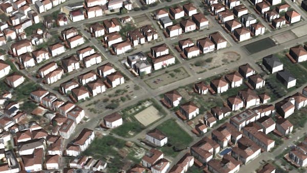
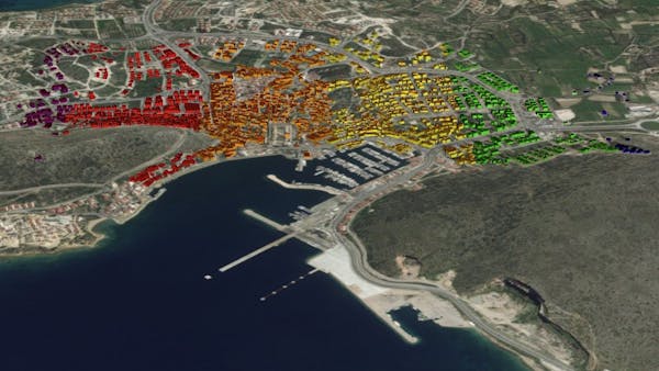
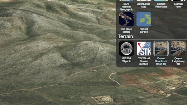
The Çeşme 3D City Model files were written in CityGML format to generate 43,158 buildings with three different levels of detail (LoD0, LoD1, LoD2). Attribute information was then added to the buildings for 3D queries and styling. Point clouds, textured mesh models, and 1 m resolution digital terrain modeling for all of Çeşme were generated from high-resolution aerial images with photogrammetry. The data was then converted to 3D Tiles, which support building attributes and styling, and the data were visualized using CesiumJS.
Check out Mehmet’s YouTube channel for more demo videos.